A Border Crossing: Wooler to Kirk Yetholm
11th December 2011The prospect of having some time away from work at the start of July meant that I was playing with the prospect of using the time to head to Oban and reacquaint myself with some of the alluring countryside that surrounds the town. However, a change in circumstances was to rule out that escapade. With the reduction in time available to me, I decided on a weekend divided between Northumberland and the Scottish Borders instead. Though this might have been seen as a consolation prize, such was the quality of the countryside and the weather that such thoughts never entered my head. In fact, I seem to recall that I got better weather where I was, than I might have done in Argyll anyway.
Friday, the first one in July, saw me undertake a walk from Wooler to Kirk Yetholm with a night spent in the latter. That was followed by a shorter saunter on Saturday from St. Boswells to Melrose and chances to take in Dryburgh Abbey and the Eildon Hills weren’t passed up at all. Sunday became too hot for walking, but Melrose turned out to be a good place to spend some time, much of it admiring its abbey. Given the warmth, I set aside other thoughts such as venturing out to see the nearby Roman fort of Trimontium or Old Melrose, where the original abbey was situated, for another time. All in all, it was a glorious weekend spent in countryside familiar to St. Cuthbert, who gave his name to the long-distance trail that I used for much of my walking.
Somehow, a map can make a walk seem shorter than it is, and that statement could be applied to the thirteen miles between Wooler and Kirk Yetholm. Interestingly, the official guidebook to St. Cuthbert’s Way splits this in two with a break in Hethpool. Mind you, I still reckon that a full thirteen miles is a good use for a day out among hills even if my start was in the early afternoon and that was in spite of an early start from home.

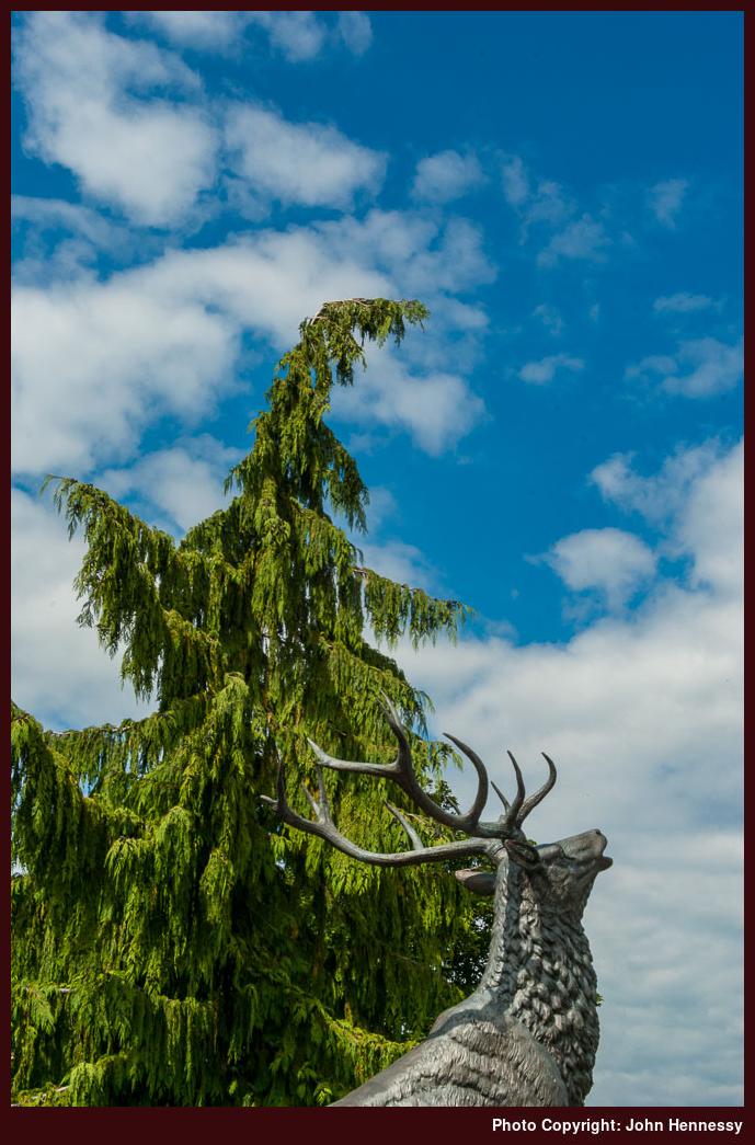
Knowing my way around the starting point meant that I needed not get too concerned when I unintentionally passed Wooler’s Catholic church. For a quicker approach from there, I stuck with what largely was a road walk to Humbleton. Though the skies were cloudy, the heat was building as I found on the track leading uphill from Humbleton. Up to that point, the only respite from tarmac had been a short public footpath that took me across a field. There was another compensation, however, in the form of a statue of a stag at the gate of Highburn House Country Holiday Park. It somehow was very reminiscent of the country towards which I was headed: Scotland.
Of course, there was a not inconsiderable amount of England to be walked first and I was feeling the heat as I shadowed the flank of Humbleton Hill. Rest stops allowed to look about me at the way that these hills were rising up from lowlands and at the line of the trail that I was going to join: St. Cuthbert’s Way. That came after an easing of the gradient and the passage from tended farmland into open moorland.

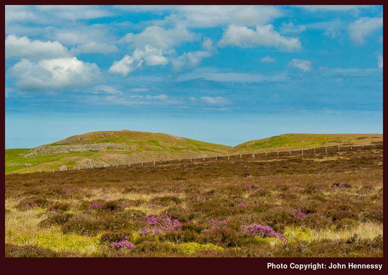
Vague memories can fool you and the direction that the trail didn’t feel right though it was entirely correct; it’s at times like these that a compass comes in very handy. Navigational doubts soon subsided with a clear path taking me across heather-clad moors with big skies opening out overhead. Not having to turn back at any point was a release for me and it was something in which I revelled as I passed Gains Law and Black Law. There was a lunch stop around here too.
Though hardly overrun, the countryside was being enjoyed by others too with greetings shared as we passed each other on our separate ways. The trail retained much of its height as it veered through higher country than the lower parts immediately surrounding Yeavering Bell. That height was set to be lost after passing Tom Talon’s Crag and any daydreams about calling to the top of Yeavering Bell were set aside. The consideration of dealing with an ascent after a descent helped to consign the possibility to my bank of excuses for a return. Given the distance that still lay ahead of me, it proved to be just as well.
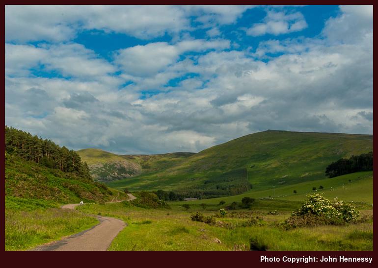
After all the descent, some of it a steep, I was on a track leading to Kirknewton but continuing in the opposite direction towards Torleehouse. As it kept going beneath Newton Tors, the track became a path and it now was late afternoon. The countryside was tranquil as I travelled along the valley floor travel with encounters with tree cover contrasting with those heather-carpeted moors that I crossed earlier.
After crossing fields and passage through a wood, I found myself on tarmac again at Hethpool and also keeping an eye on the time of day. Early anxieties about not making as much progress as I might have liked were replaced with satisfaction in having got as far as I did. Hethpool may be like many places in these pretty parts, a mere collection of houses, but it was a good place to assess how long I had left to walk. As I did so, I wasn’t alone because folk were changing footwear at their cars, no doubt after a walk and who could blame them for that. In fact, I am tempted to return to savour more around there myself.

Tarmac was to take me all the way to Elsdonburn, first on a public road and then on a farm one. Seeing the way that I was covering ground along these was yet more encouragement and there was some scenery around me to enjoy too. The road to Trowupburn became another point to note how far lay ahead of me while also offering another excuse to return for future wanderings; this part of Northumberland is in no way short on possibilities. Planning would be needed due to the isolation, but isn’t it always thus?
A surprise was in store for me at Elsdonburn in the form of a flock of sheep blocking my way. Though I didn’t like disturbing the creatures, there was nothing for it but to stick to the right of way even if it caused a fair share of racket and I wasn’t far from a farmhouse. Thankfully, no cross words were said to me or no lectures on the inconvenience of obstructed rights of way needed in reply. Bringing rancour and confrontation is not why I got wandering though countryside so I continued on my way glad to be past that obstruction.
After that, there was the matter of crossing the border ridge with legs that already had carried me quite a way; the pace was going to be steady from here on to Kirk Yetholm. Careful attention was mandated until I reached Tupple’s Sike, the stream crossing preceding the last major ascent of the day. First, lush pasture was obscuring the line of the trail on Scaldhill Shank and I didn’t want to do any more trampling than was necessary. Then, there was a narrow path weaving a less than obvious line through the ensuing wood with waymarks on trees keeping me from straying.
Once beyond the wood, it was time to scale the steep slopes of Eccles Cairn after crossing of Tupple’s Sike. After the gradient eased, reaching the top of Eccles Cairn might have tempted me, but I decided against it in favour of passing the welcome sign marking the England-Scotland border; there may only have been ten metres of ascent needed but getting to Kirk Yetholm took greater priority. For all the effort expended in reaching it, the crossing into Scotland was a simple gateway in a wall.

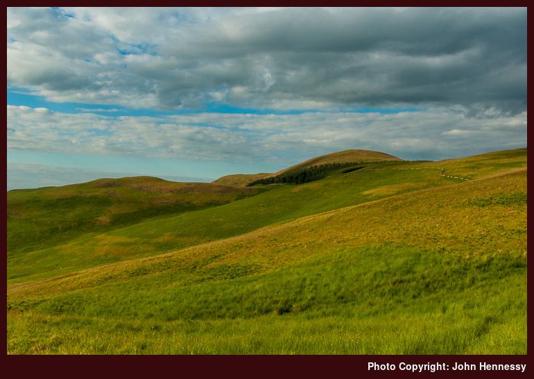
With a not so gradual descent down grass-carpeted slopes ahead of me, I took a little rest before setting off to join the Pennine Way; St. Cuthbert’s Way follows its course for the last stretch to Kirk Yetholm. With much of the height lost, Green Humbleton (a name that hearkened back to the start of the hike) was rounded with Sheilknowe Burn below the narrow path that now conveyed me. Crossing the burn got me to the car park where I stopped a while before crossing one last height of the day. Having a downhill stroll would have been my desire after the miles that I had walked the slopes that I had crossed but that hummock did make the world seem very away by the banks of the Sheilknowe Burn. Not much was stirring in Kirk Yetholm when I reached it so I headed towards my lodgings for the night. All that was on my mind was to rest after the miles travelled since leaving Wooler and more miles of walking were to follow the next day.
Travel Arrangements
Train journey from Macclesfield to Berwick-upon-Tweed with changes at Manchester and York. Bus service 464 from Berwick-upon-Tweed to Wooler.
Please be aware that comment moderation is enabled and may delay the appearance of your contribution.