A trot through the Goyt Valley
24th February 2013Having glimpsed it from a walk in January of last year, thoughts of strolling along the length of the Goyt valley took until early in last October to become reality. Though the day itself had plenty of sun, the soggy summer meant that there were plenty of muddy stretches to be encountered. After all, the head of the valley is a watershed and they hardly ever are dry places to be going even when a drier year comes our way.
My walk started from the Cat and Fiddle Inn and the sunshine had thrown a confusion of decisions my way before I even left Macclesfield at all. First, there was the prospect of retracing my steps along the Gritstone Trail between Bollington and Disley. Though it was a wrench at the time, that prospect happily got used up at the end of the next month. There also was another possibility that involved travelling along paths and tracks that I sampled before: going from the Cat and Fiddle Inn back home again via Shutlingsloe and Macclesfield Forest. The weather aborted that round of indecision with advancing clouds from the south and so I journeyed towards Whaley Bridge. There is another round of retracing of steps in the form of going to Whaley Bridge via Shining Tor, Windgather Rocks and Kettleshulme and that happily was left for another time as was going towards Rainow via Lamaload Reservoir. With the number of excuses for going around those parts, it makes me wonder why I cannot summon the zeal to do so more often than I do; maybe the cares of life weigh on me more than they should and that gaining a little perspective may be in order.
As with a number of those previous trots, I walked by the side of the A537 until I met with a path towards either Shining Tor or the Goyt Valley depending on your itinerary and I have embarked on both at different times. As it happened on that Sunday in October, I made as if for the latter but with a different twist to what I did on one of those previous outings.
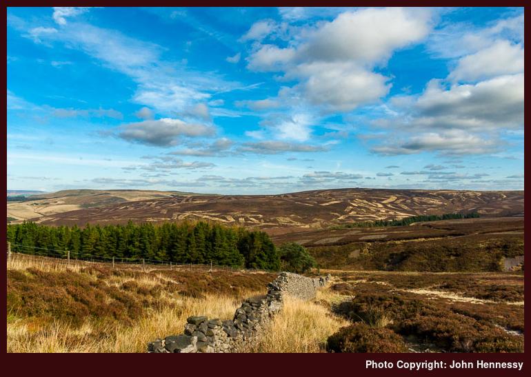
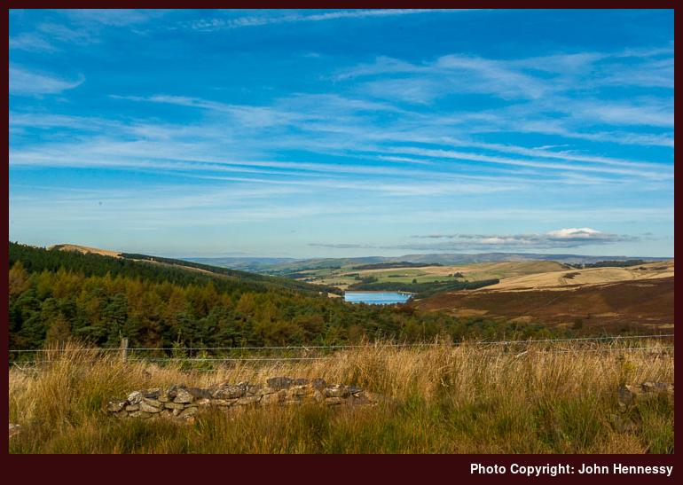
That twist was to involve taking a right turn before any of those left turns that I took on those prior explorations. Doing so meant my descent down a slope that became increasingly muddy as I grew ever nearer to Stake Clough and continued in that vein all the way to Deep Clough. It didn’t stop others doing the same as me, though they did thin out over time. For those who braved the ground conditions, there were ample rewards in the form of views east towards Burbage Edge and north up the Goyt Valley towards Errwood Reservoir and beyond that again.
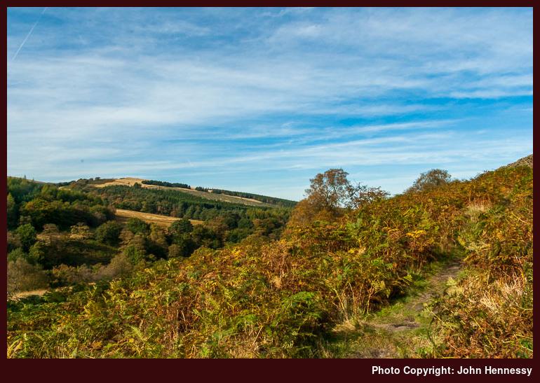
Once past the wood surrounding Goytsclough Quarry, it was time to drop onto tarmac again. That dalliance didn’t last long, though I might have been tempted to go up the road for a footpath going across Goyt’s Moss. Instead, I chose to drop down to a nearby footbridge and follow a less formal path instead. It, too, had its quieter interludes and granted me views towards the woods on the side of Hoo Moor and of Errwood Reservoir itself too. Naturally, the going remained muddy though I was less surprised by this than others who I met coming against me; one gentleman was wearing trail shoes and I gathered from the few words that we shared that he’d have come more prepared if he’d realised what was ahead of him.
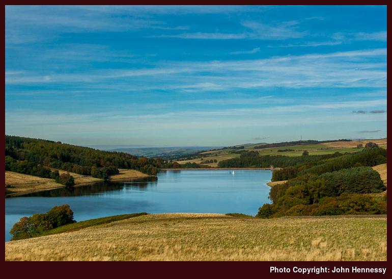
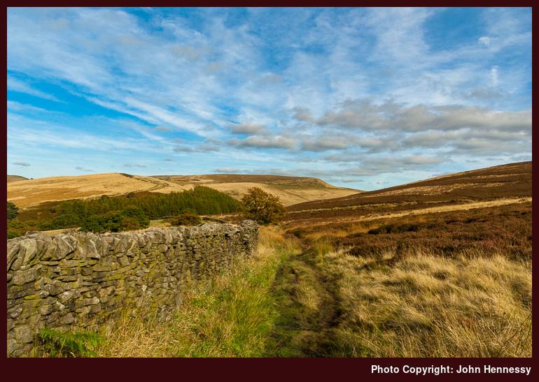
Over time, the cloud cover was progressing on its northbound journey just as I was. Sounder ground was my lot as I rounded the reservoir to meet a track that was better again. Maybe that is how some were deceived into going further than perhaps they ought to have done. My course took me along the lower slopes of Wild Moor and involved a dogleg around by a bridge over Wildmoorstone Brook. Around there, there was a minor profusion of right of way signs luring me into seemingly isolated countryside that felt as if moorland extended in all directions. It’s amazing how less tame corners exist surrounded by man-made intrusions like roads and reservoirs.
With a course set in my mind, I left those other itineraries for another time to join a right of way for the rest of the journey to the dam of Errwood Reservoir. Though I was going along its side, tree cover meant that it wasn’t in sight all the time either. Advancing cloud cover was overtaking me by now too, though that didn’t perturb me unduly. Any pleasing photos from that dam would need another day and provide a useful excuse to come and visit these parts again.
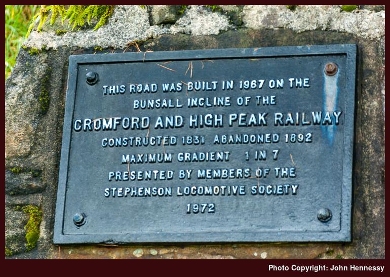
The going along that public footpath wasn’t anywhere near as muddy as it was further up the valley and conditions underfoot were set to become even more solid when I met the road going down to the reservoir dam. This had a former life as part of the original course of the High Peak railway from Cromford to Whaley Bridge that took an uncompromising line around Buxton and down the Goyt Valley. The remains of the old alignments are still in place to be seen near Buxton and I have been passing some of them without realising their significance. They date from a time early in railway history with a mixture of horsepower and stationary steam engines were the way of things until self-propelled steam locomotives overtook both.
One across the dam of one reservoir, it was time to meet up with another: Fernilee. My crossing of Errwood’s dam meant that I had declined to stick with the old route of the High Peak Railway to follow a track through woodland beneath Hoo Moor. The last time that I had been along here, I had been following the Midshires Way from Buxton to Whaley Bridge on a showery summer day. That got a little complex and needed map reading in the rain, not a good combination when you only have a paper map and no map case. That the sun emerged from clouds every time a shower came upon me was a perplexing experience that cut down on any photographic efforts.
Not being in the mood for a navigation test, I stuck with a low-level path right by the shore of Fernilee Reservoir. There wasn’t much scope for photography either because of the overcast skies, but there can be another time for that activity. However, lunch was still a possibility and I stopped at a useful bench for that. Folk were out and about with a loud child noising on the opposite bank, leaving me to wonder why some folk feel the need to shatter peaceful silence. There was irritation or rancour in my mind cause by this since there was plenty of space for all of us.
These reservoirs provide drinking water for the town of Stockport, a surprise to see that one of them (Errwood) hosts a boating club. More in tune with its use, Fernilee hosts no such antics and I suppose that water treatment plants take care of the differences even if signs around the likes of Trentabeck Reservoir near Macclesfield have signs on their banks advising against messing up a water supply. After the foot of Fernilee Reservoir, there was one more dam to be crossed before embarking on a gentle walk by the River Goyt.
Dropping down from the dam, I left the course of the old railway to pass more industrial workings before emerging into quiet fields once again. There was a sense that the day was darkening noticeably at this stage as I picked my way from field to field and across stretches of woodland too. The last of these was Shallcross Wood and it was around here where my OS OL24 should have been followed by my OL1, if I had not neglected to bring the latter with me. However, the A5004 was near at hand anyway and a little stretch of following my nose was enough to get me on there at Horwich End.
The rest of my trot was by the A5004 as it took me into the heart of Whaley Bridge. The timing of that last half mile meant that any designs on catching the next train to Stockport were extinguished; legs only can be pushed to go so fast at times and this was one of those. By the train station, folk were waiting at the nearby shelter for the next bus towards the same destination, and onto Manchester Airport in some cases, so my walk happily finished there. However, the Goyt Valley cannot be ticked off as if on a list, so there could be more exploring to do around there yet.
Travel Arrangements:
Bus service 58 from Macclesfield to Cat & Fiddle Inn. Bus service 199 from Whaley Bridge to Stockport and train from Stockport to Macclesfield again.
Please be aware that comment moderation is enabled and may delay the appearance of your contribution.