A trot over Kinder Scout
30th January 2018Last autumn, I got my hill wandering enthusiasm back and there were several trips to the Dark Peak around the Hope Valley (a tautological eccentricity if you know what Hope means in Old English, but that’s what people call the place these days), Ladybower Reservoir and Stanage Edge. Other possibilities remain in mind and the Longshaw Estate may feature yet, while there even is a thought of walking from Hathersage to Sheffield brewing. Though other walking destinations tempt me, this is a part of the world with which I have not finished yet. After all, I have not been around Kinder Scout since September 2015 in spite of a direct bus route linking Macclesfield and Hayfield. My last hike around there is the subject of this account.
The route that I followed was not so dissimilar to that which I followed in April 2013, but there were differences too and there are times when you get to pondering things like that. Aside from the deviation over the top of Kinder Scout, there were other contrasts such as the time of year and my personal situation. Winter 2012/3 continued late into the year, so there were banks of snow still lying in April for me to cross. September 2015 still had its hangover from the preceding season as often happens in that month, for my walk took me out on a warm sunny Sunday, not untypical of a summer’s day apart from the more restricted hours of daylight.
Both hikes enjoyed bright sunlight and there was a difference in my mood too. Both 2013 and 2015 were marked by family bereavements but my reaction to these differed. The first left me feeling raw inside and unsure of the future, while the second offered a sense of release before the bulk of the legal work of inheritance got going. 2016 proved to be both busy and tiring while 2017 was spent dealing with the aftermath of this and the reality of a day job that felt less fulfilling and less enjoyable than I would have liked. Those developments lay ahead of me, so there was energy to use for happier things after a few months that saw me enjoy trips to Iceland and Switzerland. Work then was more suited to that sort of thing, a thought to retain for 2018.
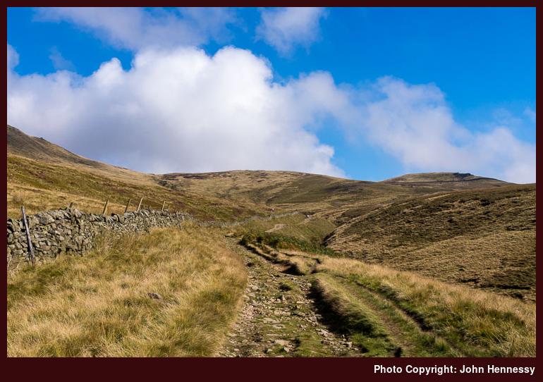
After an arrival in Hayfield under blue skies, I set off to pick up part of the Pennine Bridleway. The kind weather understandably had drawn out others and I was keen to have my own sense of space as I always do. Getting away from the village helped with that, as did leaving the long-distance trail for a track leading through Coldwell Clough and Oakwell Clough. All the while, height was gained and the views opened out more and more. The location was familiar and the sights a little new.
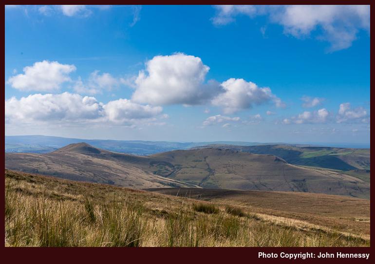
Even with the additional height, it felt as if I was in a pocket of wilder countryside away from more human influenced parts. Even looking west and south did nothing to dispel such a notion. Such eminences as South Head and Mount Famine lay about me to catch my eye. What I really need to do is trot those aforementioned hillocks so that could be enough motivation for a return journey sometime.
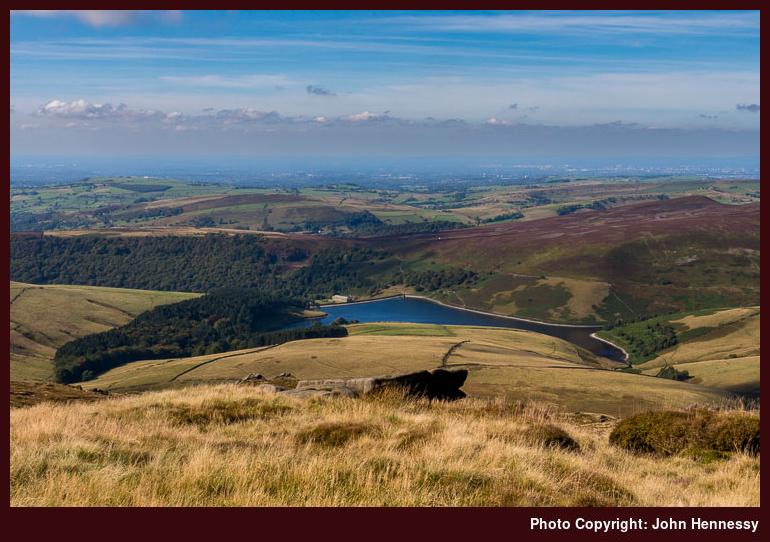
In common with the previous encounter with these parts, views of Kinder Reservoir were to feature and I was to see plenty. This time around, it would be overhead views rather a crossing over the reservoir dam with attendant viewpoints on approach and departure. The west-facing vantage point of Kinder Scout that I used was to do nothing to obstruct photography, so the challenge was to stop myself making too many photos.
The experience was reminiscent of another autumnal walk that took me this way while I still pursued film photography. If I recall correctly, I may have started from Edale before using a similar route over Kinder Scout and onto Glossop. However, the photographic results were not what I hoped, so a return visit remained a possibility. Trying again with the added control of digital photography over the printing of negative film by a processing lab was another impetus. So long as you have confidence in your own competence, and others like what you create, controlling things from start to finish cannot be beaten.
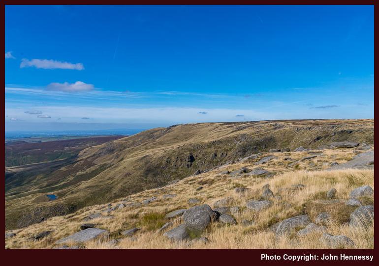
Compared with 2013, I tried to avoid any early height loss that would add to what needed to be regained. All views of Kinder Reservoir needed no descent like that preceding hike and I even chose secondary paths for getting from Edale Cross to Kinder Scout. That made me need to trust my map reading and all the signs were that I was on the right track. With so many paths going here and there, you need to hike your own hike and route find as you see fit.
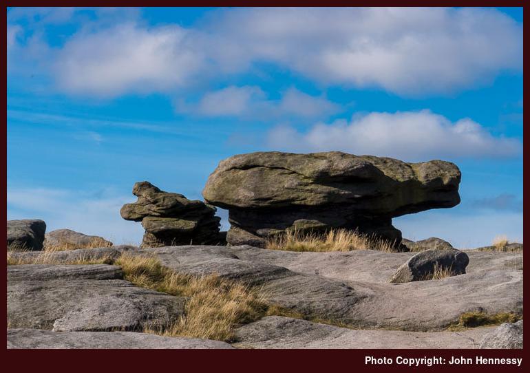
Such is the route of the Pennine Way nowadays that following the western edge of the plateau offers enough guidance unless visibility is really poor. Previously, the trail went straight across the moor so your map and compass navigation skills had to be up to scratch; rough terrain ensured its redirection because of its infamy. The sight of Kinder Low’s trig point adds reassurance too so I carried on happily towards Kinder Downfall, a relative trickle after the summer months. Beyond that, I continued along the plateau edge until I found the way off, a steep descent that needed some care and I also needed to be alert to the passage of others. All the while, folk were pottering about, but that was the change once I got down to Mill Hill.
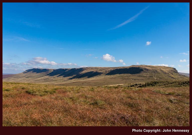
The clear track off Kinder Scout adds a dogleg to the route of the Pennine Way so I needed to follow it east to get to the Snake Road (A57). What I also had forgotten was how passing over Glead Hill added height and obscured views of Kinder Scout once I was past it. The lack of folk made me wonder what routes around Kinder Scout people tend to take for not many continue to Glossop. Progress over the paved pathway was steady but it still meant that it took longer to reach the road than expected, something that appears to happen to me a lot on this stretch.
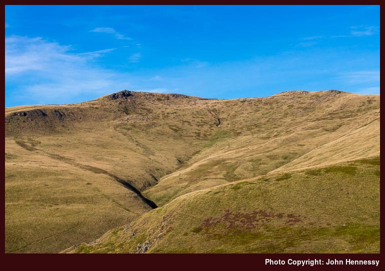
Once across the A57, it was the left turn for the Doctor’s Gate footpath that I sought. After following gravel tracks, peaty paths and paved walkways, this was to bring over rougher ground. If there ever is a “Fix the Moors” footpath project in the Peak District akin to the Lake District’s Fix the Fells, this would be a candidate for attention. Quite how this keeps its bridleway status never ceases to amaze me for I would not bring a horse down there. Still, there are pleasing views to be enjoyed whenever you can stop, for doing otherwise before crossing Shelf Brook could cause an unwanted tumble.
There was an added obstruction too in the form of a missing bridge; storms had washed away the pre-existing wooden one. In fact, there was a sign advising that the trail was closed because of this but I decided to chance it anyway because I reckoned that I could resort to a stream crossing if necessary. Whether you decide this adventurous act was courageous, foolish or just plain contrary, I will leave to you. In fact, it turned out that the descent took up most of the ardour with some naughty deviations for the sake of added safety. The reward for all that was a fording point accompanied by a rope slung between two posts.
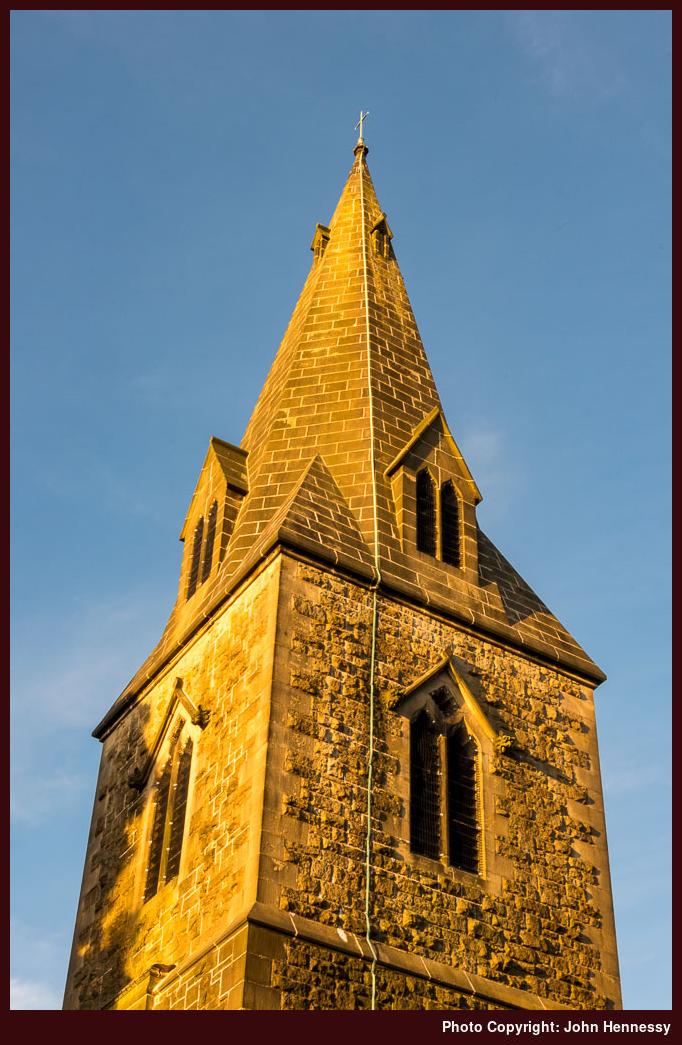
After that last obstacle, gaining more height took me away from the sodden surroundings of the clough and a little patience on this stretch was rewarded by reaching a good track near Mossy Lea Farm with plenty of daylight left. Though my legs were tiring, the rest of the way would easier with time to survey the surroundings in the late afternoon sunshine. The walking surface was again easy to stroll, and the way embedded in memory from numerous hikes since my first encounter here around Easter 2002. Reaching the familiar streets of Glossop added more encouragement and I arrived at its train station with time to spare before my journey home could begin.
Travel Arrangements
Bus service 58 from Macclesfield followed by bus service 61 from Buxton to Hayfield. Train journey from Glossop to Macclesfield with a change at Manchester Piccadilly.
Please be aware that comment moderation is enabled and may delay the appearance of your contribution.