Botnssúlur from Þingvellir, Þingvellir National Park, Iceland
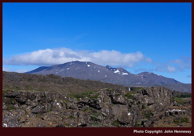
The river Öxará drops over the ledge into the ever spreading fault between the American and European tectonic plates and then flows along it into the big lake of Þingvallavatn. Though dwarfed by the surrounding rocky countryside, the falls of Öxarárfoss can be seen in the photo with the more prominent heights of Botnssúlur looming behind. The mountain range has four tops rising about 1000 metres above sea level, Syðstasúla, Miðsúla, Háasúla and Vestersúla, and there is another that exceeds 900 metres in height, Súlnaberg. They certainly look tempting for walking since there are paths leading to summits, even if they get no mention in Cicerone's guide to walking and trekking in Iceland.
See more photos from this album (Iceland)