Category: Mapping
Some experiences of Irish hiking maps
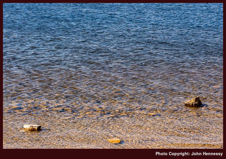
Much of my hiking has been in England, Scotland and Wales, where I have been rather spoiled by the quality of Ordnance Survey mapping. Things are quite different in Ireland, though the mapping offered here is nowhere as difficult to use as in other places where I have been.
The Standard Option
My go-to scale in OS mapping is 1:25000, while 1:50000 is the most common one offered by Tailte Éireann (formerly Ordnance Survey Ireland or OSi). That makes a difference when estimating distances on a ready reckoning basis. The smaller scale makes it easier to underestimate the length of a trail, and hence the amount of time that it will take to complete. With a need to make a bus back from a day hike, that can be a challenge, but one that is eased by doing things more rigorously in advance. Adding extra slack on the day will help too.

Another habit into which I have fallen is to look at a map to see what trails are available. This again is something that Tailte Éireann could improve. One absence is the lack of Greenway depiction; often, you get the disused railway line, which is a hint, but marking the recreational trail would be even better. While someone has put together a web app to show where Greenways are, having something more official would be better and may have more staying power than a volunteer effort.
It may have something to do with publishing schedules, but not all looped walks may get marked. That is what I founded with the Fastnet Trails around Schull and Ballydehob. At least, there is a website for those. Even so, having more of them marked on a map would help even more. Nevertheless, some are marked already, so some credit is due.
The same could not be said so emphatically for the trails around Mount Melleray Abbey near Cappoquin and Lismore in County Waterford. That might have helped me avoid some rough cross-country travel on a day hike around there that ruined a hiking trousers on me. Saint Declan's Way is completely absent too, so I ended up loading a GPX track onto Outdooractive for future reference. Since this goes from Ardmore to Cashel and through the Knockmealdown Mountains, it could offer hiking possibilities for another time.
Alternative Options
Following the aforementioned escapade, curiosity had me explore what is offered by EastWest mapping these days. They still cover the Wicklow and Dublin Mountains like they always have, and Wild Nephin is another area that they have covered for many years, but other ones are included now.
Parts of Munster now benefit, and the range includes the Knockmealdown Mountains, the Galtee Mountains and the Comeragh Mountains, not always ones that you hear much about when it comes to Irish hillwalking. The county of Cork is absent thus far, while the mountains of Kerry around Killarney and Dingle gain deserved coverage. In Connemara, there is a guide to the Western Way between Oughterard and Westport, along with maps of Connemara, Mweelrea and Croagh Patrick, and Achill and Corraun with Clare Island.
While I do have a Wicklow Mountains map in my collection, I have added one for Knockmealdown Mountains. Like many others in the range, it has a scale of 1:25000, which is more like what I find in Great Britain (Northern Irish mapping is much like what you find in the Republic). Those missing trails from the Tailte Éireann maps are noted too. Should a return to those parts come to pass, the new map will have its uses.
All in all, EastWest is on its way to becoming Ireland's answer to Harvey Maps in Scotland. That operation does not abandon Ireland, either. In fact, it offers two more than it once did: Dingle Peninsula and the Mourne Mountains. They complement longstanding coverage of the Wicklow Mountains, MacGillycuddy's Reeks and Connemara. Most are 1:30000, with the Mourne Mountains getting 1:25000 coverage.
What About Digital?
Much of the discussion here would apply to paper maps, yet I often use the Outdooractive app these days. That is equipped with maps from both Tailte Éireann and Harvey Maps. If I were to do the same for EastWest Mapping, I would need the Hiiker app. Since I plan to stick with what I have for now, I will leave the addition of another app until later. Even so, mixing information from different sources only helps when plying the trails, boreens, and ancient paths that criss-cross the Emerald Isle. Having a paper map and compass to complement digital tooling remains essential too. My Irish explorations may be facing a hiatus for numerous reasons, yet there is so much more to explore.
It helps to have good maps…
While writing trip reports for Tenerife, I was reminded of the travails that I encountered with using the maps that I had in my possession. At the time, I found myself cross-referencing data between different providers for working out where I was going. That was not ideal, but I managed to make it work.
Something similar happened in Canada. When the maps from Natural Resources Canada did not have all the detail that I expected, I resorted to using the base map provided by ViewRanger because it showed trails on there. For my various traipsings, that did suffice, even if there are possible risks like those highlighted in an article on the TGO website.
In the UK or Ireland, it may be that the tracks shown cannot be used by the public, so you need to check how things look on the ground. Then, there are possible errors because many trails are crowdsourced. That is another reason for checking on what surrounds you and applies when using user routes found on various apps and websites. The likes of AllTrails and Outdooractive come to mind here.
In my case, I ran into no problems in Canada because I was following low-level trails and established tracks much of the time. For off-trail use, mapping from National Resources Canada would have proved as necessary as the use of a compass and awareness of wildlife. Hiking in North America takes one into wilder places after all. Finding paper maps takes a bit more work, as I found, but the added effort pays dividends as long as you watch coverage of where you are planning to go.
In a more recent excursion to California, the Gaia GPS app became invaluable as long as I had downloaded the map data before setting off on hiking trips. Topo Maps+ from Glacier Peak Studios may be another option for users of Apple devices, but I stuck with what I had courtesy of a subscription to Outside+. In any case, Gaia GPS did whatever I needed, and I hardly needed to check any paper maps that I had.
That was just as well, since map scales vary widely for U.S. hiking areas anyway. USGS quads may be standardised, but the same cannot be said for other publishers, with National Geographic being a prominent example. Still, any device has a limited battery lifetime so being proficient with a map and compass remains a necessity, especially in remote areas where mobile signal may be too limited.
Recent changes in mapping technology
There have been a few things that I have been meaning to write about in recent times but I never got around to doing that because of other distractions. Anyone who has been here before should know that I have a fascination with maps and the advance of technology has done nothing to change that. If anything, it has meant that two interests of mine come together: computing and hillwalking.
As part of going lighter weight, using the OS Maps app on my phone has become a common occurrence and I still bring paper maps with me on longer hikes even if I use phones with long battery life. The old skills remain invaluable when technology fails because of a lack of signal or electrical power.
The OS Maps subscription also means that you gain access to extra content on the associated web portal and that got a recent refresh. One advance is that it can be made full screen but a hardware driver issue meant that it would not work on one of my PC's until I sorted the software problem.
Aside from the OS Maps app, I also have made much use of the ViewRanger app, especially on overseas trips. Ones to Ireland and Canada come to mind but the mix of content from existing providers with freely available mapping data proved to be a very useful one. That I managed to acquire enduring licences for some of these instead of subscriptions was an added attraction. It certainly made the option better in my eyes than what Geolives was offering through SityTrail even if subscriptions are how things are moving nowadays.
However, ViewRanger became part of Outdooractive so things changed. Because the pandemic kept me in the UK, I have not looked into the new operation so much but it could be something that I need to check for overseas escapades now that restrictions are easing again after the arrival of the Omicron strain of COVID-19 near the end of last year. Others have commented that the changeover has not been smooth but the free maps look comprehensive and I appear to have been able to carry over access to mapping data that I already had.
Speaking of travelling overseas, I am now a subscriber to Backpacker magazine and so have access to content from the Outside network. One part of that is GAIA GPS and the things are with hiking maps in the U.S.A. means that this is an interesting offering, especially if I get access through my existing subscription. When I tried before, I was able to see maps through its online portal but it would take an actual visit to really check out what is on offer. Though I am cautious, that might be more realisable than it has been for a long time.