Category: Gritstone Trail
Sometimes normality is just an illusion
 27th October 2024
 In the autumn of 2021, one could be forgiven for believing that the pandemic was beyond everyone. In Europe, most had two doses of the vaccine, so the climax may have been past us. However, there was once more variant at the end of the year that added more caution, at least for a while. Additional vaccinations were performed, and many still caught the infection. Thankfully, the symptoms were milder and this episode became part of the way out. This corresponded with a thought that I had before the full onslaught reached us.
Twice from Buxton to Macclesfield
Near the end of September, I walked from Buxton to Macclesfield during what now looks like an interlude between two waves of infection. The route took me from Burbage onto Goyt's Moss before I went down by Berry Clough to reach a lane leading to Goyt Valley. That was not my destination, so I instead headed for Shining Tor via Deep Clough and Stake Clough, and no sighting of Goytsclough Quarry, hidden in the tree cover. From Shining Tor, I made my descent to Lamaload Reservoir and then went from there back to Macclesfield.
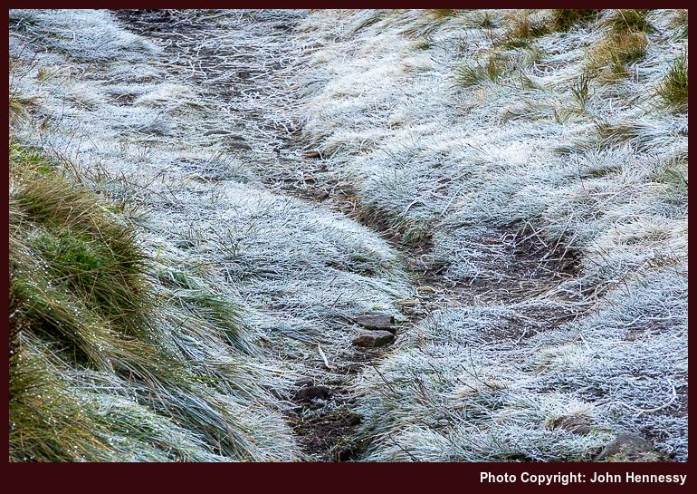
With new restrictions in place, I again set to wandering in more confidence, which may look odd to some. Thus, a reprise of the September amble happened on the last Sunday before Christmas. Until Lamaload Reservoir or even Rainow, both itineraries were alike. A stoppage on photographic recording obscures the end of the September tramp, but a new camera may have helped with that the second time around, for it tells me that I joined the Gritstone Trail as if to make for Tegg's Nose Country Park, though I suspect that the place was avoided in favour of going via Back Eddisbury Lane and Buxton Road in declining light.
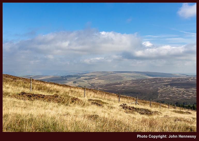
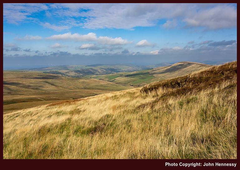
The overriding memory that I have of the September hike is one of greyness, and how busy things were around Derbyshire Bridge. The latter remains, while the former is disproved by the photos that I have. There was a bright start and end to the stroll, especially on the way out from Burbage and then again from Gout's Clough onward; sometimes, your memory plays tricks on you. Otherwise, there was a lot of quite rambling, exactly what I needed at the time.
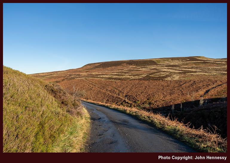
Aside from added restrictions that were nothing like what was in place at the start of 2021, the other thing in the background of the December outing was the presence of fog on the Cheshire plain. This affected flights in and out of Manchester Airport too, though there were not as many of those at the time. One thing that was unaffected was my strolling on higher ground; the bank of cloud lay further west. Thus, I got a fill of much-needed quietude in the winding down of the year. The added crispness gifted by a preceding overnight frost was another blessing that comes with a spell of December sunshine, even if low sun makes for longer shadows. Nothing could take from out in the hills anyway.
The Long Way Home from Poynton
While some risked infection by celebrating on New Year's Eve, I instead opted for an elongated trot behind Poynton to Macclesfield that started in daylight and ended in darkness. Both places are not that far apart, but I added quite an elbow to the route by passing Lyme Park without entering it before continuing around by Jenkin Chapel. In declining light, I shadowed Cat's Tor to rendezvous with the trail leading down to Lamaload Reservoir. From there, I ventured towards Vale Royal in the dark, equipped with a working head torch and knowledge of where I was going. Once I passed Hordern Farm, I was bound for Buxton Road and the last stretch to lit-up surroundings and home.
A fuller list of landmarks goes like this: Poynton train station, Poynton Pool, Prince's Wood, Higher Poynton, Middlewood Way, Macclesfield Canal, Platt Wood, West Parkgate, Dale Top, Sponds Hill, Bakestonedale Road, B5470, Bank Lane, Jenkin Chapel, Howlersknowl, Thursbitch, Lamaload Reservoir, Valeroyal, Gulshaw Hollow and Buxton Road. Most farm names have been omitted from the list for the sake of added brevity, but it might remain sensible when compared with a map.
The canal was attracting others, as were the paths near Poynton, yet things grew steadily quieter the further along I went. This became a day laden with solitary wandering, which was just as well at the time. Some of it recalls an evening when I went from Poynton to Lyme Park, only to discover that I had arrived near closing time. That had taken me by surprise after previous experiences, so I wonder if pandemic reductions in staffing had anything to do with an earlier end of day for the place.
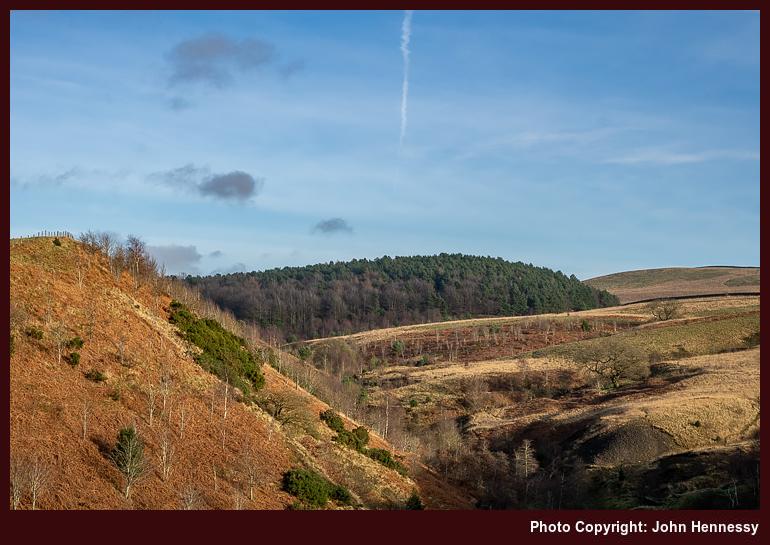
On the way towards Sponds, the skies opened to allow better photographic results from a new camera. A chapel, seemingly opened for the time of year, was passed as I shadowed the boundaries of Lyme Park. My hope was to spot The Cage, a folly atop a hill there, from my route. That got fulfilled, though I was a little too far away for photographic purposes, and there was a certain haze in the air too. Nevertheless, there were other pleasing sights to behold, and I was not left unsated.
Beyond Sponds Hill, the journey began to follow deserted paths in lesser frequented places, particularly after leaving the Gritstone Trail. The surroundings recalled a stroll from October 2007, when I needed respite after something I was doing went against me. Some people were around Jenkin Chapel and there was no throng. After that, it was unbothered wandering into the night, part of a pattern that emerged that autumn. Much of the ground was familiar to me from daylight ambling, and there was a certain release from being out in the nighttime air.
Even so, I was conscious of my use of a head torch near where people lived and worked, and did no dallying. A gate that was not friendly to cross drew my ire because of barbed, yet nothing was ripped or shredded; it became more of a challenge than an obstruction. It reminded me of a nuisance barking dog near a public footpath that appeared during a lockdown and since appears to have disappeared without a trace. It might that any tension caused by increased usage of local paths has ebbed now that everyone has more freedom in choosing where they want to go.
The day and night had brought an element of adventure, while overseas travel remained mostly off limits. Once past a bolus of infection, minds could turn to wider roaming in 2022. Mine was among them: getting to Ireland, staying away from home again, reaching Scotland, and visiting Yorkshire and Cumbria all came to pass that year. In some places, people came across as being more friendly. Having stability helped as well; it is easier to rebuild confidence if you are the only one making the changes.
Travel Arrangements
Bus service 58 from Macclesfield to Buxton on two occasions. Train from Macclesfield to Poynton on New Year's Eve.
Hikes that took me back home through some Cheshire and Derbyshire hill country
24th September 2024 The trouble with recounting tales of local hikes is that the locations often are too familiar; they lose their novelty with frequent encounters. That applies even with the backdrop of a pandemic, so I am bundling these three hikes from the summer of 2020. Each is different in its own way, yet there is a connecting thread linking them all. After all, my traipsing through the countryside hardly ever is just exercise, since any tranquillity is sought, relished and savoured as I go. Quietude was prized whenever it came.
Initiating a Longer Break
Given the effect that all the upheaval and disruption was having on my mental health, I decided on a three-week staycation that flowed from July into August, much longer than I normally do. Even with never straying far from home, it was to help a lot. Even so, there were more than a few day trips.
Some were less consequential, at least from the point of view of an outdoors blog like this one. Visits to Rostherne, Knutsford, Tatton Park, Buxton and Sheffield (even if I did wander its parks, encountering its Cholera Monument, a stark resonance that summer) are not the kind of things that are related here. There is too little to say about short encounters that often involve revisiting the familiar, even if they had their uses at the time.
The same might be said for a visit to Lyme Park, but for one thing: it was en route during a hike from Disley back home to Macclesfield. This also was my second journey since the start of the pandemic and involved a change at Stockport; courage was increasing with added experience.
While the arrival in Disley was delayed, that is something that matters less when you are walking all the way home when there are long hours of daylight. Picking up the Gritstone Trail near the train station, I started on my way. Going through Lyme Park was another act of increasing courage. However, I avoided its front gate to go in and out of the back ones. That was the way that the trail went anyway, though there is a route alternative if I had wanted to avoid the busier stretch passing Lyme Hall.

Beyond that, things became quieter again. The terrain was familiar to me as I went up and over Sponds Hill. That perhaps was just as well, when so much else was peculiar at the time. The illusion of an unchanging countryside added a badly needed fulcrum and was as important as the feeling of freedom and solitude that was being gained. The church tower at Pott Shrigley could be glimpsed from a distance, while the same happened with Bollington. That was not a halting point, especially with there being no Sunday bus service and how it drew many out from Macclesfield that spring and summer.

To skirt Rainow, I left the Gritstone Trail to follow Oakenbank Lane, another discovery from earlier in the year, the Friday immediately preceding the Spring Bank Holiday weekend in fact. This hike may not have been as unpeopled as the photos show, yet there was every chance that decreasing restrictions allowed people to spread out to leave more space for each other. Nothing everything had opened, but there were more possibilities than there were a few weeks or months before.

Passing Ginclough brought me to a way leading to Lamaload Reservoir that was another discovery from prior sorties into nearby countryside, especially a circuit starting from and ending at home that took in Shining Tor. Everything might have been close to home, yet there were new places traipsed as well. The way from Lamaload Reservoir to Walker Barn may have been another of these paths that I came to travel during the pandemic times that I have not frequented since then. The same might be said of the way that I took by Tegg's Nose Country Park as I closed in my place of residence again. In some ways, the ways taken were so familiar that maps hardly were needed and decisions could be taken on the hoof as well.
On reflection, the whole route was a collation of different possibilities that led this way and that. There was Disley to Bollington, Bollington to Ginclough, Ginclough to Lamaload Reservoir, Lamaload Reservoir to Walker Barn and Walker Barn to Macclesfield. While some of those staging points did not get entered, each portion was a hiking possibility in itself. The longer evenings allowed a pick and mix approach to be taken. It really helped that there were quieter stretches where solitude could work its magic after what was becoming a wearying year.
Taking a Chance with the Weather
The previous week was laden with melancholy. The idea of facing into a trying autumn while fatigued by ongoing events was enough to send me away from home, doing anything to go get out of the house. Macclesfield Library, Buxton and Knutsford (even on a scorcher of a day, such was the need; getting better photos of Rostherne was a draw too) all had been visited along with other local spots while out on evening walks and cycles.
Remembering photos made during autumn rambles in 2007 was what put going around by Windgather Rocks into my head. The rain radar may have been showing showers approaching from the west, but I was determined to get to Whaley Bridge for a hike, such was my state of mind.
Things began well enough, and it looked as if showers might be escaped. There was a sunny start as I commenced from the railway station in Whaley Bridge to pass beneath the dam of Toddbrook Reservoir, still drained and under repair following the previous year's structural issues, and alongside the River Goyt. It was no threat by this time, so I continued to Macclesfield Road and went up that thoroughfare to join the Midshires Way to get to Taxal, where I lingered by its church in some sunshine.
That long-distance trail was left soon enough to cross fields on the way to Taxal Moor Road. The quietness of the morning air struck me, though a walking group was to be heard behind me at times. They were left behind me as I continued to the top of Taxal Moor before descending to a lane on the Cheshire side.
That was when the illusion of escaping a wetting was being punctured. The surrounding hillsides were cloaked with signs of rain. Undeterred, I continued, not without some hope of meeting only light showers. While making my way to Taxal Edge, the rain caught me, and it was of the “soft Irish day” variety: light and steady but not too wetting.
If things remained at that, my gear would have coped. When things escalated, the lack of rain trousers meant I got a proper soaking while waiting for the rain to move away. This kind of thing always seems to leave more slowly than it arrives; my more lightweight way of working met its match, and this was not something to repeat. A newly acquired smaller rucksack had endured the wetness with aplomb, though.

The pleasing photos that I hoped to get around Windgather Rocks failed to materialise, and I got moving when the rain eased. All I got were some atmospheric record shots that I do not feel are worth sharing. As the air dried, I did too. Pym Chair was the next landmark, somewhere I had not been very much since my earlier hill wanderings.
From there, I continued to Cats Tor and Shining Tor on a quiet morning on the tops and relished the freedom to travel along the slabbed track at my own pace without the need for much thought about social distancing. After reaching the trig point on Shining Tor, I retraced my steps and started my descent to Lamaload Reservoir after accommodating mothers with children by giving them some space. The ground was looking drier as I dried out, too. Things were starting to look brighter again: the band of showers had passed, and I was not to be bothered by such things for the rest of the day.


The way back to my house from Shining Tor was the reverse of the outbound route from June. As the skies continued to break over me, temperatures increased until the heat was readily perceptible around Rainow. Getting there took me around by Lamaload Reservoir (a service road got me from the reservoir to the village), a place that I was finally exploring after years of glimpses while travelling between Macclesfield and Buxton by bus. There may have been an educational wetting, but none of this was in evidence on my person by the time that I got home.
A Last Sunny Reprise
Mainly motivated by the previous Monday's soaking and the prospect of better weather, I returned to Whaley Bridge the following Saturday. The desire for better photos had something to do with it too, especially around Windgather Rocks. Another factor was the imminent end to my elongated summer break and the uncertainties of the coming autumn. It felt better to settle accounts while one could, on this second Saturday in August.


The way to Taxal Moor essentially was a retracing of previous steps, albeit with much more sunshine. Beyond there, deviations set in, firstly by following an informal path on the Open Access Land on the moor itself. That set me going onward to Taxal Edge and Windgather Rocks by a different route, one that passed closer to Goyt Forest.


The weekend timing and enticing sunshine drew out others, but it was easy to keep apart if you wanted, as was needed in those extraordinary times. In other places, climbers may have been closer together than was ideal, but that was their concern. On the paths and trails that I was travelling, some even let me pass first, as if their time were their own, and I was happy to oblige in kind. There was space for photography too and the results still appeal to me, bringing a sense of closure to one part of the outing.


With photos made, I continued to Pym Chair and Cats Tor as before, while stepping away from the path to let others pass. When you have had something to yourself once (as I had the previous Monday), it becomes easier to share with others. Then, Shining Tor was crossed before I went down to the A537 by way of Stake Farm. The way along these tops is one that I never tire of tramping with its undulations and its paved stone surfacing.


Crossing the road, I followed a permissive path to the access land around Cuckoo Rocks. They were not a destination for me though, so I followed another permissive path to join a public footpath to get to Bottom-of-the-Oven, a small place with a curious name, before heading up to Forest Chapel along a byway. These were much quieter parts than the places that I had passed on the other side of the A537. Legs were wearying with all the ascent and descent. The slopes leading to Forest Chapel felt a little more foreboding because of that. Just taking everything one step at a step overcame that, especially beyond Bottom-of-the-Oven.
Making use of another byway beyond Forest Chapel, I reached Charity Lane. Along the way, I overheard a comment from a passing family group about not realising what is on one’s doorstep. That probably is a story of 2020, given its lockdown and my finding people in places where I never encountered them before. On reaching Walker Barn, I then went towards Tegg’s Nose Country Park along Old Buxton Road, but left it for a byway leading to Back Eddisbury Lane. The latter took me onto Buxton Road under clouded skies, and I was on the home run straight to my house. The reprise had been worth the effort, with plenty of quieter moments as recompense for making more space for others where this was needed.
Reflections
In hindsight, it may have been better to make an entry for each of these. Once memories were rekindled, the accounts became longer than intended. Each hike had its own personality, a combination of location, weather and state of mind. Even the restrictions of a global pandemic did little to eliminate variety. Everything might have been local, yet there was much that offered respite, solace, consolation and healing too.
Travel Arrangements
All of these only needed outbound transportation. The first was a train journey with a change in Stockport while going from Macclesfield to Disley (there is something in my mind about trying to catch a bus that never appeared, but memories may be combining, so I am leaving things as they are). The others used bus service 60, which was then working to a reduced timetable because of reduced demand and staff availability.
In search of real respite amid a lockdown
16th June 2024 Before the pandemic hit us, my way of getting a breather involved travel and nature. Hiking was as much part of that as reading about travel and nature. Photography and computing were other forms of refuge. Since then, I have found some others that might help during a similar episode if it were to happen today. Living means learning; it is the only way.
Impact
The restrictions that came in March 2020 disrupted my previous and customary coping mechanisms. Catching up with unread photography magazines further drove the point home. It just hurt too much to read about nice places where I could not go. That meant that do the same with travel magazines was out of the question, and they faced an existential crisis too. Outdoor magazines did not escape either. Most survived in time, with Lonely Planet Traveller being the only title that I know to have been discontinued.
It all added up to a sense of sensory deprivation, and broadcasting service were similarly thinned out. It was if there was little escape from morbidity and mortality. The latter really played on my mind, making some clinical encounters unavoidable at exactly the time when they needed to be curtailed.
Mercifully or perversely, depending on your point of view, we got a lot of sunny weather throughout the episode. If it did nothing but rain, I am not sure how we would have coped. That single episode of exercise per day was not just about physical health and well-being. It was nearly more important for keeping one's mental health on an even keel through a period when there was so much around that was downbeat.
To add to it, I also cut out caffeine from my diet and my use of sugar has more or less gone the same way since then. Even if that added weariness, I continued to get outside. The confinement meant that social distancing was more difficult than might have been expected. My yearning for added solitude went largely unsated, too.
Coping
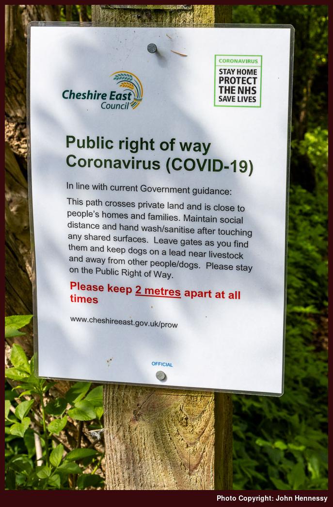
While Ireland placed limits on how far you could travel, I cannot remember that being the case in England, and it proved to be something of a lifesaver. Since public rights of way remained open, we were not confined to roads either, even if traffic plummeted so much that you could walk them in the name of social distancing.
We were not confined to urban parks like West Park, Victoria Park or South Park, all in Macclesfield. Others like Riverside Park or Tegg's Nose Country Park remained available. The latter offered an escape from urban surroundings that got used one sunny Saturday in April as part of an emergence from a personal nadir.
Cycling was another useful release. The quieter roads allowed for added courage once I began with routes that took in Henbury or Gawsworth. The Victory in Europe Bank Holiday at the start of May saw me get as far as Siddington and Marton, where there were few people to encounter. The same could be said for an outing the following day that took me around by Nether Alderley and Jodrell Bank, though the final approach to Macclesfield was more peopled and hence less comfortable for me. Around the same time, there were walks that included Riverside Park and Tegg's Nose. Thus, it was not all about cycling.
Making Space
Breaks from work were much needed and really beneficial. At least, I could keep working through the whole thing, unlike so many others. Even so, extra non-working days at the start of May had their uses, even if I muddled my bank holiday timings. Boris Johnson's apparent preference for Bank Holiday Fridays was so new to me that I needed to make my client aware of changes in plan.
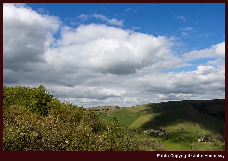
Still, the first of May saw an afternoon stroll that took in the Danes Moss Nature Reserve under grey skies and with some light rain at times. A late afternoon visit to Tegg's Nose Country Park on Saturday found the place largely deserted, offering a great deal of respite from any tension that had built up in the preceding weeks. On Sunday, I went on a circuit that included Prestbury, again with the same escape from an artificial concentration of humanity.
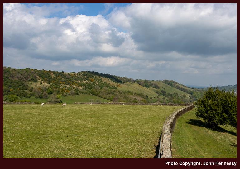
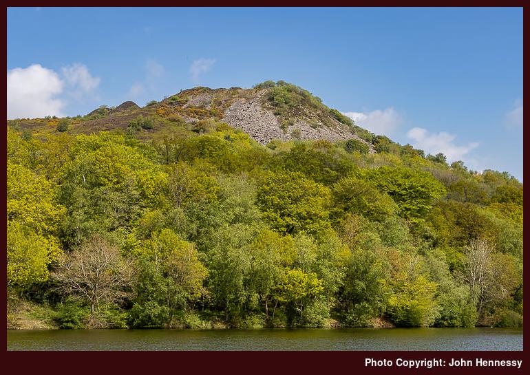
When I noticed that Royal Mail were working on that Monday, I was surprised, but the change of date for the Early May Bank Holiday never twigged until I spoke with my brother the next day. Nonetheless, I strolled around by Rainow and followed the Gritstone Trail towards Tegg's Nose and returned home via Langley. Tuesday allowed time for a circuit of Kerridge Hill and the adjoining Saddle of Kerridge that skirted Bollington and Rainow along its lower flanks. Looking back on things now, it was an extended weekend that became very full.
As we continued through May, there was a slight sense that pressures were easing. Experience with the new infection was increasing, and the grim toll was not as high as it might have been. Restrictions still remained, though; it would take until June before any real slackening could be felt. There still was an infection curve to be flattened.
Release
Thankfully, the Spring Bank Holiday was in the part of the week when I expected it to be. After what happened earlier in the month, this had been checked. The associated weekend was stretched with some extra days to allow further recuperation from the ongoing travails. In some ways, these were to be liminal.
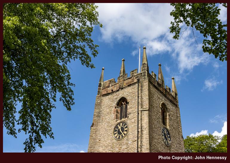
On that Friday, I again went for a longer stroll. This followed the Middlewood Way until I was past Bollington. Many others were out along that trail, so it was not the most relaxing of walks. That was one reason why I sought other routes with fewer people around. Not having to worry about social distancing meant that more reinvigoration could come my way. On this hike, that came about by continuing to Pott Shrigley. Fancying a spot of photography, I spent a while in the churchyard, which granted me the people-free space that I so needed. Thus sated, I skirted Bollington on the way to Rainow. That meant meeting with more people again, though not as many as on the Middlewood Way. Even so, I still needed the quieter route to Tegg's Nose that I constructed. On reaching there, I began the final stretch of my journey home.
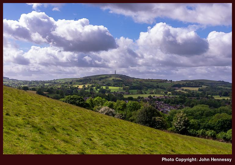
If I needed it, the next day's hiking supplied more than enough occasions where I could ramble with simple abandon. The mixed weather with some spots of rain in the afternoon did nothing to take from this. My route had me skirting Tegg's Nose on the way to Langley before crossing fields and gaining height on the way to Ridge Hill. It was while I was going along this lane towards Higher Sutton that a final sense of complete release hit me. All was well at that moment and there was nothing to fear. The feeling is one that I recall readily today as I write these words.
Eventually, the name changed to Meg Lane and I opted not to continue to meet with the Gritstone Trail. Instead, I chose a public footpath that would drop me to Lowerhouse where I did just that. From there, I ascended Fox Bank to go further than another ill-fated attempted ascent of Croker Hill had stalled due to my feeling unwell in the summer heat. This time, I had to contend with a blustery day that easily dispelled any disquiet regarding infectious disease. Others may have been around, but they were few in number, and we were well spaced as well.
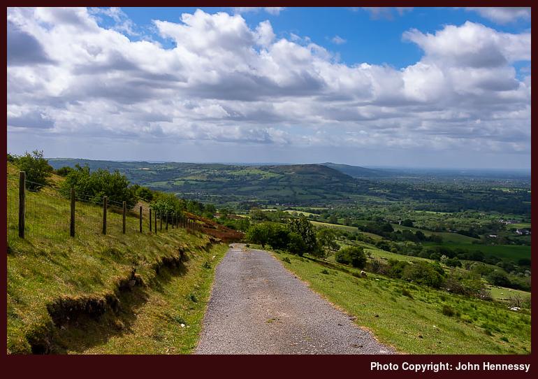
The descent into more sheltered spots was to take me along a quiet public footpath to the A54. Route finding took a little concentration, and it felt as if I was proceeding along a holloway (or sunken lane) at times. The variety provides yet more of an escape for the psyche. Crossing the A54 to pick up a path by Bosley Reservoir did nothing to take from this. It helped that it was not busy around there, either. This struck me as a pleasant place to be, and that was to draw me back later.
Before all that, I needed to continue home. Thus, I followed a right of way to the A523. Going north took me to Bosley. This was partly to see its church, not that it is the most prepossessing of buildings with its red brick construction. Another public footpath conveyed from the church to Tunstall Road, where I met with the Dane Valley Way.
It was by now well into the afternoon and I had some quiet space, the like of which I did not have since the arrival of the pandemic. Still, I left it for the towpath of the Macclesfield Canal because I did not fancy passing through what was marked on the map as a stud farm. In fact, this is more like a business park and going through there might have saved me some road walking along another part of the A54, never a nice road to walk.
My next destination was North Rode. Another part of the Dane Valley Way got me off the A54 to reach a public footpath taking me the rest of the way. Again, quietude was my lot and there was some time spent next to its pretty church before continuing from there to Gawsworth.
This was to be where things got a bit busier again. First, getting to Rodegreen took me off-road once more. Going right along Pexall Road not only took me to Shellow Lane, but also towards the public footpath leading to Gawsworth and its church. This was to be a more confined affair in spatial terms, a trickier situation when you need to pass people with pandemic wariness around. Later, I would pass fish-ponds attended by numerous people fishing. It looked a little too busy to me, so I passed on as best as I could.
This was a time when local public footpaths were never busier; you could find lines trodden in fields where you never would have had them before. They have faded since then, too. Thus, the path conveying me from between Gawsworth Old Hall and Gawsworth New Hall did little to deter others from using it. Having got so much from the day, that did little to perturb me; you have to share anyway.
Once on Woodhouse Lane, I continued in the direction of the Danes Moss Nature Reserve. Without photos because of the greyness of the skies, I am left with a quandary in this account: how did I get home from there? One thing is sure, it did nothing to take from the restorative nature of the stroll. For that reason, I wonder if I continued on paths to Congleton Road before following that into Macclesfield. Making for the Macclesfield Canal instead would mean going a busier way and one with people confined to narrow boats there too; it is not the best for them to have too many around during a pandemic either. Thus, I am siding with the first option.
That night, I felt very different. The relaxation in places with few if any people had done the trick. All the tension was gone, and I felt more normal than I had done for a while. The fact that I really could relax in such places again was a real help for my subsequent state of mind.
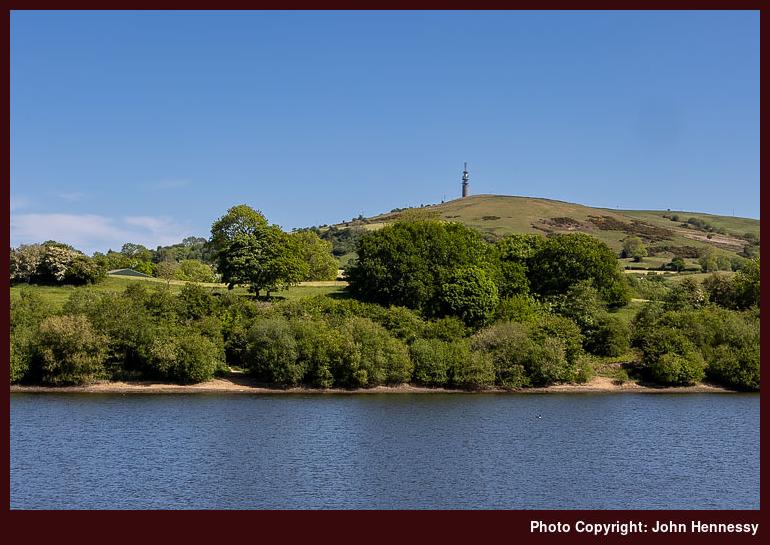
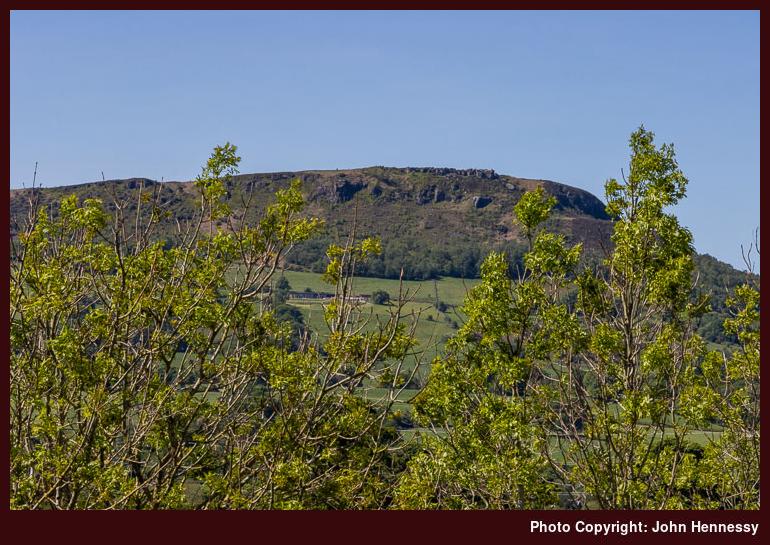
After the previous day, the Sunday that followed needed to be an easier day. It came hotter, too, which added impetus for just that. Some outdoor reading in South Park and Victoria Park became the main highlight, a good development for adding more normality. The Bank Holiday Monday came sunny and allowed a cycle that took in Bosley village and Bosley Reservoir before rounding The Cloud, a prominent local hill. That meant a descent along Peover Lane and nervous travel along the A54 before leaving that to reach North Rode, where a much-needed break was taken near its church in the sunshine. From there, I continued to Gawsworth, where I again stopped a while ahead of the last stretch to Macclesfield and home.
Looking through my photos from that Monday, I am surprised that none were made while I was on Tunstall Lane, given the views that were available. However, I set that to rights the following Saturday. The previous weekend must have worked up quite a bit of magic because I boldly ventured into Staffordshire, a first since the pandemic had arrived. Having crossed Hug Bridge nearby, I easily could see myself visiting Rushton Spencer before heading along the lane by Rushton Bank and Woodhouse Green. The steep ascent forced me to walk the bike in places but granted me the views over Bosley Reservoir to Croker Hill that I desired. Careful progress was made along Cloud Side because I am not so good with hills while cycling; descents particularly challenge me, possibly because of cycling bike with bad brakes while much younger. Once as far as Peover Lane, it was largely a reprise of Monday's route back home. Courage and fortitude had been found, something that would propel me through the following June.
Confinement
24th May 2020 Looking back on last year now, it strikes me just how I never went walking the countryside as much as I might have done. However, there were preoccupations weighing on my mind. Ongoing political events were among them but a then forthcoming upheaval in my working life was a more pronounced concern. The latter continued into this year but was sorted in March though it had limited excursions in January as much as the weather did likewise in February.
Whatever tricky challenges I had imagined for 2020, they became nothing compared to a new viral disease that had sent us all into lockdown. In my case, it also brought added tension that got the better of me in April. Chats with clinicians have helped and I am moving beyond the episode now thanks to clarification of thinking as much as daily relaxation exercises.
Throughout all of this, I ventured out of doors every day for physical exercise in the locality. Some days, I have contented myself with local parks (Riverside, Victoria, South and West) but my horizons have expanded on other ones. As well as walking, I have returned to cycling too in an effort to make the current time feel less confining. While fairer weather and the time of year add encouragement, it also is amazing how a level of restriction causes you to make more use of what you have and that applies to me too.
All the while, I have been seeking our quieter places for an added sense of relaxation. Generally, I would have sought solitude anyway but social distancing is another motivation. Living in Macclesfield, I am fortunate to have nearby hill country into which I can escape. Of course, others can have similar ideas and that is why I limit travel along both the Macclesfield Canal and the Middlewood Way.
Tegg's Nose and Croker Hill have seen encounters along with a variety of local places like Henbury, Gawsworth, Bollington, Prestbury, Rainow, Siddington, Marton, Alderley Edge, Chelford, North Rode and Bosley. The latter list sounds fairly extensive in its disorderly arrangement but it is good to have such surrounding countryside when so many are staying close to home.
Some places like Henbury can be busier that might be expected so it is taking some time to learn how to ensure social distancing is ever improving. Cutting down on touching of surfaces and bringing hand sanitiser on an outing is part of the way of things at the moment though there have been little moral boosters as well.
It might any some but the pervasive of sunny days is a blessing too and I have been making photos as I go. It is amazing what new sights you can find on a local patch. For instance, Macclesfield's South Park offers views of Shutlingsloe and Croker Hill that add to a sunny evening stroll. There are new rights of way to find and travel as well as amenities like Bosley Reservoir. It all helps to lift a mood and can grant you a quiet relaxing cycling or stroll if you get things right with timing. Going out when others are not inspired to do the same remains a possibility as much as finding where they have not been inspired to go.
Reprising a part of the Gritstone Trail
23rd September 2013 There are times in the year when I feel the need to force a break in an attempt to rupture what feels like a headlong rush towards a certain event. Though it's only September and I writing these words, the last month leading towards Christmas is but one of these. Another is in a contrasting part of the year: that leading towards Easter. It's as if the seasons of Lent and Advent see life going in such full swing that you, that there is a strong risk of your rushing right through them inadvertently. As ever, there's little point in rushing either the start or the end of a year anyway.
Last November, I booked in one of those speed bumps, and it came up sunny enough for me to get out and about. My sights weren't raised beyond Cheshire, though, and I fancied seeing more of the nearby countryside than had been the case for a while until then. In fact, the Friday was to see me follow the Gritstone Trail from Bollington to Disley, and this section hadn't been walked by me in entirety since January or February 2003. Then, there were some vestiges of snow and ice on the ground, but it was the lack of visibility that I really remembered, along with a foolhardy episode of taking rubber soled walking boots on ice that I mentioned in a previous entry on here.
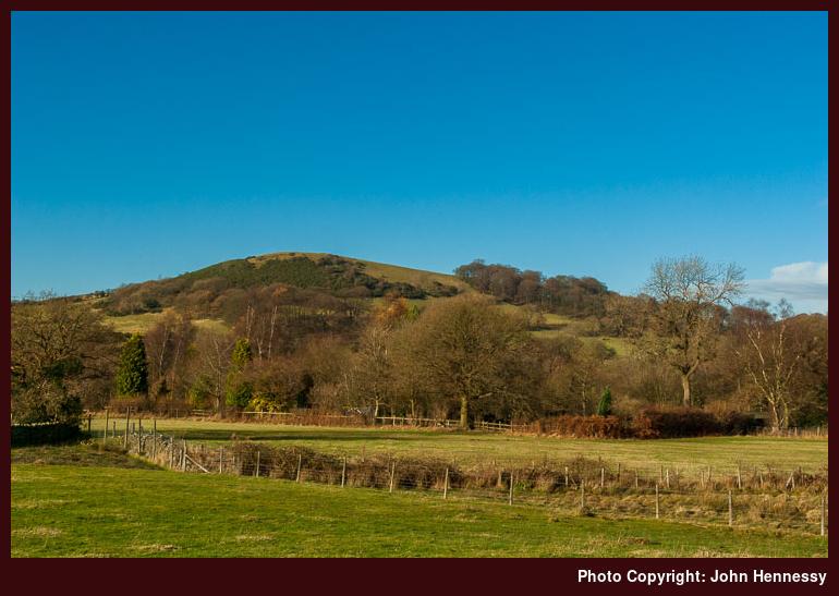
Skies may have clouded later in the day, but there was no folly with the choice of morning as I left Bollington. Indeed, it felt more like October than late in November, and looked like it too when I took in the sights of what surrounded me. After record-breaking stretches of wet weather, it momentarily seemed as if some kind of Indian summer had come our way. If it wasn't for my own lethargy, November 2012 could have seen me do better than trips to Tatton Park, a trot along the Macclesfield Canal from Macclesfield itself to Congleton and this hike. That's not to decry what I savoured, since there are times when excuses to stay local can be needed when shining sirens can call from afar.
After leaving a bus to continue on its way from Macclesfield to Stockport, I pottered up Ingersley Road, passed where it became Smithy Brow to meet the Gritstone Trail and followed it into Spuley Lane. To an Irishman unaccustomed to such conventions, such naming of rural roads has its own amazement; until relatively, recently many of those in the Irish Republic hardly merited even a number. It's not often that I stick exclusively with tarmac while walking in the countryside, so the sign showing the way through a field was a welcome thing.
Crossing that field was to get me to gain more height until I met and crossed yet another named lane: Hedge Row. In October 2007, I actually followed this as part of a weekday wander. For some reason, the lure of staying on the Gritstone Trail all the way to Disley was insufficiently strong that day. Was it the later start or a certain heartbreaking outcome to the very reason for which I had taken a day off from work in the first place? November 2012 was devoid of any such feelings as I continued towards Harrop Brook while taking any views towards Nab Head that were being granted to me.
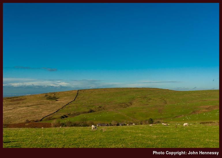
Once across the brook, it was time to continue uphill towards Berristall Hall, where I passed a pond with fowl such as geese around it. The farmyard itself was somewhere that I bypassed through nothing more than sticking with the route of the Gritstone Trail. My surroundings felt familiar, as if I had been there recently. That was something of a memory trick because it was January or February 2005 when I last passed the way on a crisp, chilly day when I was trying out my first ever DSLR. That was on a walk that took a section of the Macclesfield Canal before going cross-country to Pott Shrigley and then heading to Disley via the Gritstone Trail after coming up from the village via a path taking me by Berristall Hall that avoided going through the farmyard at the last moment.
My course last November took me uphill by a wood while I gazed upwards at the trees and across towards Billinge Hill. Its quarries were not on show, either through shadows cast by the low sun or because they away from my line of sight anyway. That non-sighting was not what on my mind, but the similarity to the Rainow of Kerridge Hill definitely was not lost on me either. Leaving trees behind me for a while, I began to cross fields, with Bakestonedale Moor to my left. Sheep were out grazing and stuck with that task instead of being distracted by a passing wanderer. The scene may have looked exclusively pastoral to my eyes but lay a road unhidden in a cleft of the landscape. It was one that I needed to cross, but that was further ahead.
Another wood lay by my path and there was an opportunity for navigational blundering, so care was needed. With no mishaps, I skirted a quarry to pick up a track that appeared to be making a beeline for a farmyard. Though I grew up on a farm and maybe because of it, I have no desire to walk through the farmyards of others, let alone wander aimlessly around one due to a map-reading error. Perhaps, it's the fact that I am outside someone else's back door that does it, so I prefer to pick my way through the countryside without having anyone else staring at me doing so. Though the track passed a dwelling house, the initial sighting was an illusion, and I was on Bakestonedale Road instead, another part of which had been hidden from me earlier. On a return from Lyme Park by bicycle one August day in 2009, I passed its entire length without fitting together the landscape through which I was passing; it can take a walk to do just that.
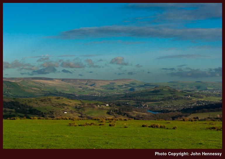
Turning right onto Bakestonedale Road brought me past the farmyard that I had been seeing. As if to prove that everything takes longer while you are waiting for it, the welcome signpost for the route of the Gritstone Trail over Sponds Hill felt as if it was taking its time to come into my view. When it did so, I was on the cusp of the best part of the hike and of the day. A little height was gained and below was a gash where a hairpin or switchback twist in the B5470 lay, another reminder of the return from Lyme Park in August 2009.
What I was after, though, was something that I had been denied by fog in 2003 and clouding skies in 2005: gazing towards the Derbyshire hills from one of their Cheshire neighbours. This time around, I wasn't to be disappointed as I looked beyond Whaley Bridge towards the sort of places that I rediscovered in April of this year. Here, I am thinking of Kinder Scout and what is found around it. Below me, the Toddbrook Reservoir was picking up the blue of the skies above it.
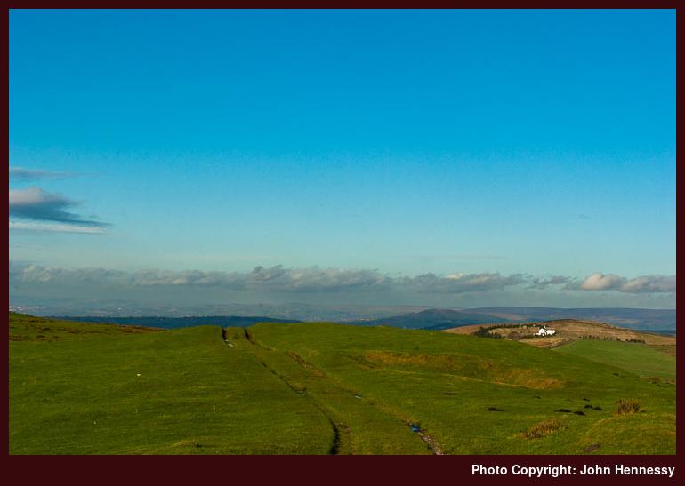
There was no shortage of vantage points from which to survey what lay to the east while clouds rolled in from the west. There even was some straying away from the right of way to visit the 410 metres trig point on Sponds Hill before I returned to the straight and narrow. Before that, I stopped at the CPRE viewpoint, which has a multitude of landmarks inscribed onto its metal surface. A bright cloudy day ironically might be best for identifying all that's mark on it, since sun-reflected glare could stymie such an attempt.
What gleamed in the near distance was the white house where the Gritstone Trail divides into one route for those going through Lyme Park and another for those going the way at times when access to the park is less certain. It was well clouded by the time that I got that far, yet I was not grumbling as I dropped into Lyme Park. A spot of sun could have been good for some sights, but they can form excuses for returning, and I spotted some alternative route options that make such errands less repetitive. There was one such scene that I had in mind for a photo from an earlier venture, only for this to be scotched on re-examination.
Once down through Knightslow Wood, I sought out a lunching spot, and a place that would be busy in the high season was blissfully unfrequented on a November afternoon. Even with their cafés, the National Trust still offer a covered area with tables and chairs in an old outbuilding for those wanting the DIY food stop. To repay their generosity, though, I patronised their vending machines to add to the sugar going down with my sandwiches. The sun may have appeared and disappeared during my refuelling stop, but I was more than relaxed about that.
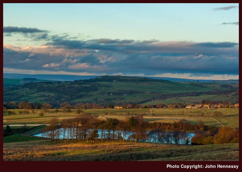
Having stopped a while, I got going again to head into Disley. There may have been no sun falling on Cage Hill as I passed it but having savoured it when it was some was a more than sufficient consolation. As the sun grew lower in the sky, it did its best to light what it could as it did so. There were some photographic experiments, even if getting through the East Gate was my priority. Once out through that, I could relax a little more but not so much that I could overlook the declining light, even if I liked the effect of the weak light on the landscape surrounding Bollinhurst Reservoir and the hills to the east of it.
Once past where both routes of the Gritstone Trail rejoined, it was time to pass Bollinhurst Bridge and turn into Green Lane. At the bridge came a surprise because it no longer is open to any traffic, even walkers, you have to use the wooden walkway instead of something that must have been in place for centuries. Taking a mountain bike this way is a less practical option now, if it ever was, given how uneven the track can be.
While the fading light was motivating to keep going as I rounded Bollinhurst Reservoir, there were others seeking to make the most of a day they couldn't use more fully. One lady was making sure of that as I passed her on my way along Green Lane and shared a few words with me, saying as much. A straight track like that can feel long in declining light, so I checked my progress on the map to ward off any pangs of impatience with my legs. As I neared Disley itself after shadowing Higher Disley, what appeared to be a maze of lanes faced me, and I picked my way through these to satisfy myself that I was sticking to an intended route and not getting myself waylaid at the last minute. There was no hiccup, and I had to decide between train and bus travel to start my way home. The latter got my vote this time around, so an uneventful journey home fitted what had been a great day out among Cheshire's eastern hills.
Travel Arrangements:
Bus service 392 to Bollington. Returned home via bus service 199 from Disley to Stockport and a train journey from there back to Macclesfield again.


