When promised sunshine scarcely appeared
10th January 2023These words are being written in a period of ongoing industrial relations turbulence. Whenever this happens, it can seem never-ending. Hope gets lost, but things can be resolved quicker than anyone can imagine.
Much of 2018 was blighted by Saturday-only stoppages that affected Northern Railway. It meant that outings were limited for me because I do not drive a car. In fact, they were an impossibility for many of the places that hill wanderer would go in the north of England. Thus, when the stoppages were halted, it was as if I was unleashed to take advantage of the restored sense of freedom.
Trips to the North York Moors and Derbyshire preceded two outings to the Yorkshire Dales. This piece describes the first of the latter, when sunshine was scarcer than predicted in the forecast. That encouraged another that will be described in a later posting.
The lack of sunshine necessarily limited the number of photos that I made on this trip, so figuring out the route again took some doing. Nevertheless, I reckon that I have recalled it. Recording GPS tracks or even filming hikes is something that I have avoided so far, but that needs a rethink unless I stop leaving it so long before writing trip reports.
On the day, I made my way from Settle’s train station towards Castlebergh Plantation. From there, I followed the Pennine Bridleway in the direction of Malham Tarn. That meant passing the turning for the crags that may have lured me out that way in the first place. They would be passed on the way back.
Everywhere lay under grey skies as I followed the track towards Langscar Gate and Malham Tarn. A young walking group was going this way too, so I dallied to give them time to move along for the sake of added solitude. Following the broad track appealed to me, as these so often do, especially when quietude can be found. That made up for any lack of sunshine.
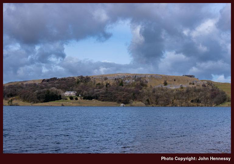
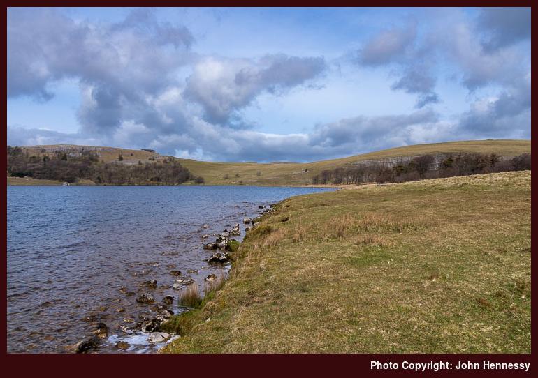
Skies partially cleared of cloud around Malham Tarn, somewhere that I possibly had not visited for more than ten years. That made me linger and attempt a spot of photographic capture. The results may have been incompletely in their success, but they were proof that I was not totally out of luck. Now that I think of it, there may have been more sunshine available than I had thought.
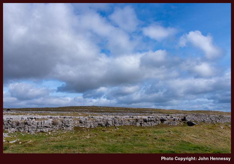
My next move was to make for Malham village. That took me past Broad Scars and Malham Lings before I returned to tarmac again. Descending by Malham Rakes gained me views over Malham Cove as well as getting me to the village where I enjoyed a refreshment stop.
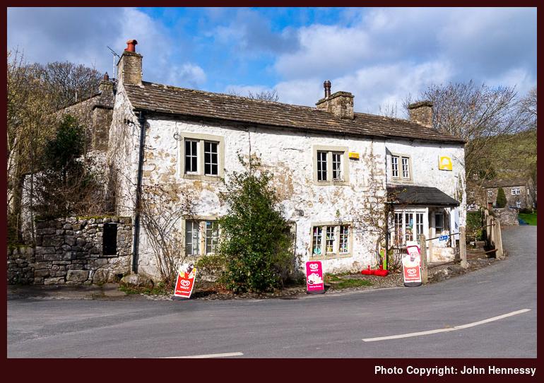
The shop was looking more tatty on the outside than when I was near there on previous visits. The paintwork was wearing off the stonework and the shopkeeper looked aged, which have explained the lack of maintenance to the outside of the building. Skies again broke to allow some sunshine, and I took in sights of the cliffs of Malham Cove on the next stage of my hike.
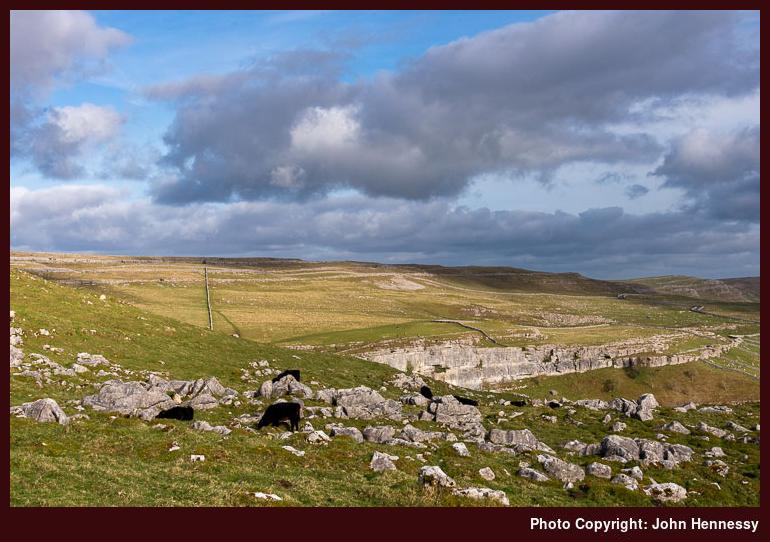
My return to Settle took me near Town Head as I made my way onto Long Lane. That kept me off Cove Road until just before a steep ascent, after which I left the road for a public footpath that would take me back to the Pennine Bridleway near Kirkby Fell. There was empty countryside around Rye Loaf Hill, though I seem to recall seeing some mountain bikers around there.
More civilisation in the form of Stockdale Farm before I left the lane to follow the Dales High Way past crags that I had fancied photographing. The grey gloom put paid to that ambition, so I reconciled myself to enjoying the hike instead. There was one last uphill heave before the final descent into Settle, which felt very distant in the vicinity of the limestone outcrops that I was passing.
Another visit would be needed to make photographic use of the scenic delights that they offer, but the walk had left me content. There may have been a refreshment stop before I started on my train journey home in the knowledge that there was some unfinished business that remained in this part of the Yorkshire Dales. A return would follow.
Travel Arrangements
Return train journey between Macclesfield and Settle, with changes at Manchester Piccadilly and Leeds.
A Marsden project
28th May 2022This past spring has been a busy time for walking in areas of hill country and growing boredom with what is near me in Cheshire and Derbyshire after traipsing around various places repeatedly during the constrained times of the pandemic led me to look elsewhere and Marsden caught my attention again after around fifteen years of not venturing near the place.
First up was a trot from Marsden to Hadfield that retraced steps not taken since 2002 when I was only starting hill wandering and a dull day heavily limited photographic efforts even if it brightened up near the end of the day. The reprise saw brighter sunnier weather albeit with a bracing aspect in the form of a stiff chilling easterly wind. Even so, I enjoyed my stroll along the Kirklees Way as it rounded Wessenden Moor and passed numerous reservoirs. Eventually, I passed onto the Pennine Way that conveyed me across the A635, over Black Hill and down into Longdendale. There was an intrusion in the form of an American hiker with two dogs who asked for a photo while my mouth was full of food but that passed and it was the edge above Crowden Great Brook that really held my attention.
On Holy Thursday in 2007, I headed north from Marsden to Littleborough as part of an ongoing Pennine Way project but low cloud intruded on the start of that walk so photos were limited. That made a partial reprise of that hike a possibility so I started from Todmorden on a southbound hike to capture what I had missed. Ultimately, I overdid it and arrived in Marsden in darkness so the compensation had not been gained and it took several returns to the area before photographic possibilities were largely consummated. Still, Calderdale and its nearby moors were kind to me even if their popularity slowed me down at times. From Blackstone Edge, things were much quieter but the day was moving on as I made the most of the available light. Even so, my sightings of the Castleshaw reservoirs left me in doubt as to my misremembrance enforced tardiness. More was to come in my sightings of Pule Hill and Holme Moor in very much faded light. That was to apply to Redbrook, Black Moss and Swellands reservoirs as well so thoughts of a return were forced into my mind. Eventually light failed and I decided against a steep descent on not finding the path so I went another way that got me to Wessenden Reservoir after an improvised crossing in the absence. Still, the waterfall looked appealing in the night light and it was now easy strolling back into Marsden in the quietude of the time of day. That did nothing to remediate my mixing up train times so I had a much-delayed train journey back to Macclesfield with a tight connection in Manchester that was aided by the last train to Macclesfield being late. That was just as well since there should have been another but for there being a shortage of train drivers at the time. The day had been eventful and I am not just talking about a momentary standoff with a cyclist around Calderdale either; they seem to be getting everywhere but that is another subject.
While the stage was set for several returns, the weather was not playing ball when I needed it to do just that. Still, I returned to Marsden in hope. Things looked promising as I headed out of Marden along Waters Road. My good fortune persisted as I continued along the track by Willykay Clough. Unfortunately, it was not to last and I lost out when I was wanting the cloud cover to stay away. There also was a biting wind from a northerly direction but that did nothing to keep away the numerous hill runners who were out and about. They went another way so all was quieter again but the sun was in hiding. Scrambler bikes were heard and I wondered what the point of their short rides was with their turning back at a pass to avoid being spotted. To me, it looked a little cheeky and I continued on my way on a day full of compensations. One was finding that path that I missed on the previous hike and I was glad that I had not tried it in the dark even if I had a head torch (there has been a scary moment when one did not fall to hand but all was well). The could cover had broken by this point and it have been understandable if I had been wondering at my impatience but the cold would have explained that. By the time that I got back to Marsden, many were outside enjoying what by then was feeling like a warm summer’s day. For me, it was back to the train station for a more timely return home.
Even with the same midday prediction of trouble with cloud cover as the previous encounter with the area, I persisted with another Marsden to Hadfield walking idea. There were variations from where OI had gone on previous trots that the walked started similarly to its predecessor. It took a map enquiry from another walker to highlight my slow progress in adjusting to a post-COVID world and I reproached myself for being unforthcoming but I had a long way to go and an appointment with hope. There were bright spots and I made images of the Castleshaw reservoirs that advanced on what went before. The same could be said about Pule Hill and its surroundings because the aftermaths of hail showers bring their recompenses. Other places brought a bit more photographic joy too and a bit of National Trust work made the way to the A635 much easier. Beyond that, navigation and bog trotting became more challenging so getting to Black Hill was slow work. Once there, I did not delay and started the descent to Longdendale by a gentler moorland route that left me with a longer walk to Hadfield and its train station. Even so, the gentle quietude of what is now a heavily industrialised valley laden with reservoirs and pylons prevailed and other walkers shared words with me. Daylight was in short supply as I neared Hadfield but it held long enough for me not to need a head torch. The day had been long and tiring but there was a lot to savour.
Eventually, there was resolution and near-complete closure. The last Friday of April came free and the weather remained sunny all day so another attempt was made. In many ways, this was a reprise of the third Marsden trip of the year, albeit with many deviations. It also saw me take my time in many ways. The route took me away from Waters Road and around by March Haigh Reservoir before I retraced old steps. Heat haze may have affected views over the Castleshaw reservoirs but what I go was as good as I needed it to be so I was sated. Brun Clough Reservoir saw a visit and I got over the wire fence to rejoin the Pennine Way because my patience did not extend to finding the stile and I often wonder how entry points to access land get so rationed. That made no impact on my mood as I attended to my photographic objectives. Various reservoirs were ticked off a list that also included Wessenden Reservoir and I crossed some rough ground using my access rights so as to avoid retracing steps. There even was an ascent of Pule Hill so this was a day that was working for me and the evening light was attractive as I returned to Marsden to start my train journey back to Macclesfield. it was now time to look to other places because the moors around Marsden may have seen times when things did not work out for me but they also kept me engaged in so many other ways as well.
Revisiting Calderdale after a long absence
23rd December 20192007 became a year that was dominated by walking sections of long-distance trails like the Pennine Way. That in turn led me to Calderdale during the spring of that year. Two trips stand out for me with the first being near the start of February and the second near the start of March. Since those, I hardly have explored the area with other places gaining my attention.
This is a part of the world laden with so many public rights of way that it is difficult to pick out a few to facilitate some wandering. Maybe it is better to ramble from one to another in a more haphazard way and civilisation is ever at hand in the valley below the moors in any case. That sort of approach lay in the background as I plied my circuitous way from Hebden Bridge to Todmorden during the autumn of 2017.
It was a sunny if chilly Friday so it was little surprise to see others wandering about as well. Even so, I was about to find plenty of those quieter interludes that I relish so much. The advantage of having many paths to follow is that people can spread out everywhere. Some of these rights of way were not as clear or as well signed as others, but there was no conflict with landowners either.
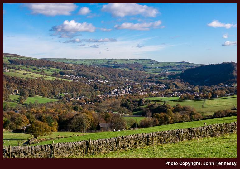
There may have been a problem with train services going east from Hebden Bridge but it did little to delay my arrival and was soon forgotten as I scaled the steep slopes to reach the moors in the autumn sunshine. Because of all the path options, that also meant correcting a wrong turning and I got to wondering if having a GPS receiver with me might have been better. These days, the OS app on my phone would have been enough to put me right but that lay in the future back then.
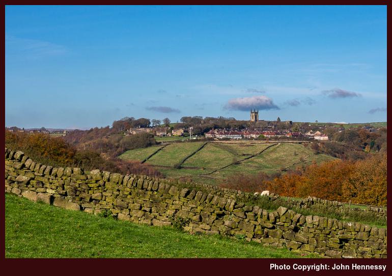
The constant sunshine and the multitude of quieter places meant that I could navigate from right of way to right of way in peace and with ample time for ensuring that I was going in the right direction. Some of these followed clear tracks while others took me straight across boggy ground. Along the way, I took in views towards Heptonstall and Mytholmroyd though any sights of Hebden Bridge were lost in the steep-sided cleft of Calderdale. On any hike, some views are left behind you as you proceed towards others.
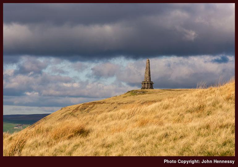
My eventual destination was Stoodley Pike and getting there meant passage along part of the Pennine Way, so the direction of travel was easy to follow at this point even if the air was chilly enough for me not to tarry for too long. Cloud may have started to fill the sky, but any disruption of sunshine was momentary so I started on my way towards Todmorden. That took me down a steep incline using part of the Calderdale Way to Mankinholes and Lumbutts from where a mixture of road walking and footpath rambling got me to my final destination in ample time for the train journey home again after what had been a satisfying stroll with an added element of problem-solving.
Travel Arrangements
Train journey from Macclesfield to Hebden Bridge followed by a train journey from Todmorden to Macclesfield.
A busy spring
31st May 2019The continuing non-availability of Northern train services on Saturdays due to industrial action became such a source of personal confinement that their restoration produced such a dramatic effect. From February until now, I have been away most weekends making use of the increased opportunities for train travel. The promising weather helped too even if it meant that water supplies were not getting replenished as required after last summer’s extended spell of hot and dry weather.
The result was that Yorkshire got a lot of attention throughout February and March. It started with a visit to the North York Moors on a sunny day in February that felt more like summer than the actual time of year. Roseberry Topping was revisited as well as nearby hills as I traced out part of the Cleveland Way on a circuit centred on Great Ayton’s Train station.
Other circuits were followed by train as dictated by the extent of day ranger ticket areas. Two of these took me between Leeds and Carlisle so it might have been inevitable that I ended up getting ideas for walking outings as a result. The departure point for such attentions was Settle since I had not passed Attermire Scar or visited Malham and its nearby tarn for far too long. Sunshine may not have been in ample supply through my walking rounds so another trip to Malham Cove cannot be ruled out and it could see me going to Skipton on foot as well. There were two outings in total and there already is another in mind.
It has been a spring full of city visitations too. In the north of England, the tally included Newcastle, Leeds and Sheffield and Scottish cities like Edinburgh and Stirling got their share of attention too and there even was a trip to Cardiff for some wandering by the River Taff. More will be written about these below while Newcastle saw more wandering than other northern cities as I pottered along by the River Tyne on the way to Wallend using part of Hadrian’s Wall Path. That again was a quieter stroll and there was much to savour on a journey from a city centre to greener parts of its suburbs.
An elongated Easter weekend allowed for a longer stay in Edinburgh that has been in mind for some time and there was a truncated effort in 2017. 2019 saw no such intrusions so I was there from Holy Thursday through to Easter Tuesday as planned. That allowed for a lot of city rambling and there there were two visits to Linlithgow. Hill wanadering featured too and days were spent among the Pentland Hills and doing a round of the hills encircling Glen Sax. Along the reminisces and silly daydreams entered my mind but the time spent around a city where I spent part of my university years also became a chance to deal with any episodes of unfulfilled promise that returned to haunt me.
When I moved away from Edinburgh in 2000, there may have been an element of unfinished business that drew me back again and again to somewhere for which I still hold much affection. The 2019 version of the same was a suboptimally composed photo on Calton Hill so I returned on the Mayday bank holiday weekend to set that to rights. Other sights like the city’s botanic gardens and Costorphine Hill Local Nature Reserve were frequented too and the latter featured on another visit during the following weekend.
Though I was bound for Stirling, a stopover in Edinburgh did allow me to revisit the Royal Mile and Costorphine Hill in good sunshine for the sake of a little closure of what was becoming like an Edinburgh trilogy. Stirling saw plenty of sauntering with photographic pursuits in mind but the prospect of a walk among the nearby Ochill Hills remains outstanding so that could be another excuse to go back up there again.
After all those weekend forays elsewhere, it now feels as if some quiet time at home is in order and that pervaded the Spring Bank Holiday weekend aside from the aforementioned day trip to Cardiff. Others making the same journey had the attendance of a Spice Girls concert in mind but designs were far more demure as I avoided bands of cyclists to amble by the River Taff to take in the spring foliage on trees around Bute Park and Llandaff on a sunny afternoon that could not be enjoyed further north, such was the available weather. The summer awaits so only when that arrives will its roaming be revealed.
Encountering ravishing surroundings while wounded inside
20th January 2014It can be amazing how resilient the human spirit can be. After all that came my way in 2013, I am amazed at how I manage to find to some inner peace as much of the time as I do. That wasn’t how it felt in April after my mother passed away the month before. Then, looking ahead didn’t seem a possibility. Getting somewhat accustomed to the changed state of affairs was more than enough to slow down life itself.
In the midst of that, I took to walking every evening because that’s how time can be set aside for working through things and venting any stress through footsteps so as not to hurt others. During one of these walks, I decided that a longer walk was in order and quieter hill country would be most suitable. When glorious weather came for the first Saturday in April 2013, I had my chance and it was taken without hesitation. Staying indoors dwelling just wasn’t an option with the rawness that was within me. It was the hill country to the east of Hayfield and Glossop that drew me. It may attract its share of visitors, but that never means that there aren’t quieter spots and quiet interludes on well frequented patches. Such was what I needed and there were plenty on the day, especially in its later hours. Those restorative moments were relished when they came.
My initial plan was to make for the track up to Edale Cross and use that for getting up to Kinder Scout after a diversion to see Kinder Reservoir from where I knew there were photos to be had, especially in bright sunshine. Once off Kinder Scout, it was to be a matter of dropping down to Glossop on the Doctor’s Gate Path. However, I changed my mind during the walk, as can happen. On finding the descent to see Kinder Scout to involve the loss of more height than expected, I instead chose to go around by the dam of the reservoir and regain height on the way up to and through William Clough. Other than that, the walk was routed as intended and I have left the possibility of going along the western edge of Kinder Scout for later. On looking at its northern slopes and streaked they were with snow, it looked to have been a sensible choice.
All of this chopping and changing route lay in the future as I left Hayfield by way of the Pennine Bridleway, a multi-modal track that starts in the Derbyshire Dales and then goes north at least as far as Settle. One section is called after the off-road horse riding access campaigner Mary Townley and the whole trail also is open to moderately adventurous off-road cyclists too. Apart from Derbyshire, I also have met with it around Burnley when I used it on Pennine Way jaunts between Haworth and there.
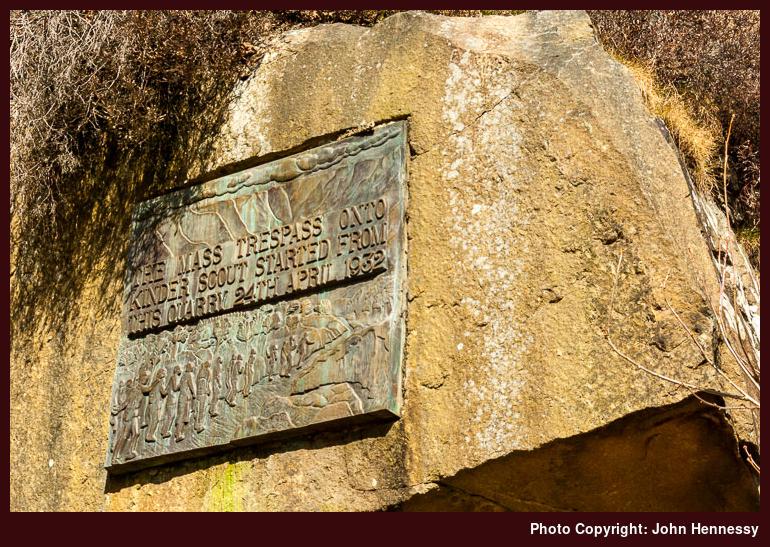
Though the Pennine Bridleway would have carried me near Coldwell Clough and the bridleway for Edale Cross, I left it for a path for Bowden Bridge instead. That kept me alongside the River Sett for longer and past the illustrious quarry where the gathering prior to the Kinder Trespass of 1932. Looking up for some photos, my gaze revealed the location of the said plaque and I made of photo of it for a sort of keepsake.
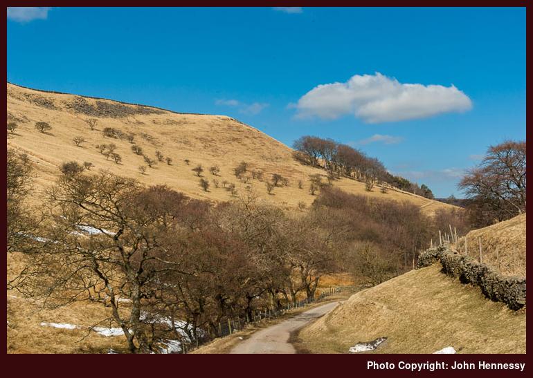
After largely staying on the level for the start of the walk, it was time to gain some height and there was plenty of that on the track from Bowden Bridge towards Coldwell Clough. Folk were trailing in my wake so I wasn’t doing this by myself but the turn away from the track leading to Ashes Farm meant that I lost them; they probably were bound for elsewhere or turned back after gaining their fill. Whatever they did, I hope what they got from their outings was memorable.
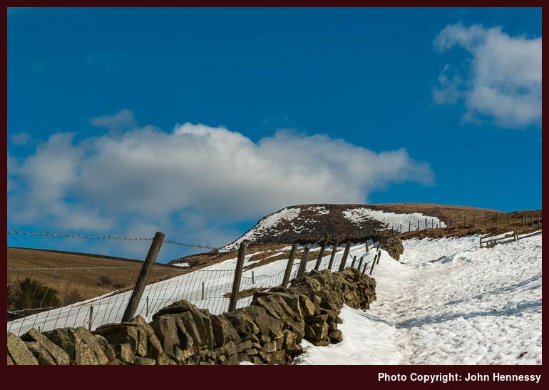
Beyond Coldwell Clough, the track to Edale was obscured by a deep white covering of snow. As I was getting to that point, a silent gentleman in a Land Rover had driven up (to my mind, he appeared to be an estate worker and there was little or no acknowledgement of any pleasantries were sent his way) and was stopped there for a while. Off-road cyclists were about too and I am unsure as to why the man in the Land Rover was waiting. As I scaled the snow-buried track, he left for somewhere else so I was wondering if was being watched for some reason, hopefully benevolent.
Beyond the snow patch, I largely had the Edale track to myself and took to looking around me. There were hills to the south of me, and these were blocking any view of the New Mills to Sheffield railway line though that enters a tunnel too to get from Chinley to Edale. Looking at the map now, hills like South Head and others near are tempting and caught my eye on visits made to Sheffield by train earlier in the year. They, like other parts, are awaiting their turn for a visit.
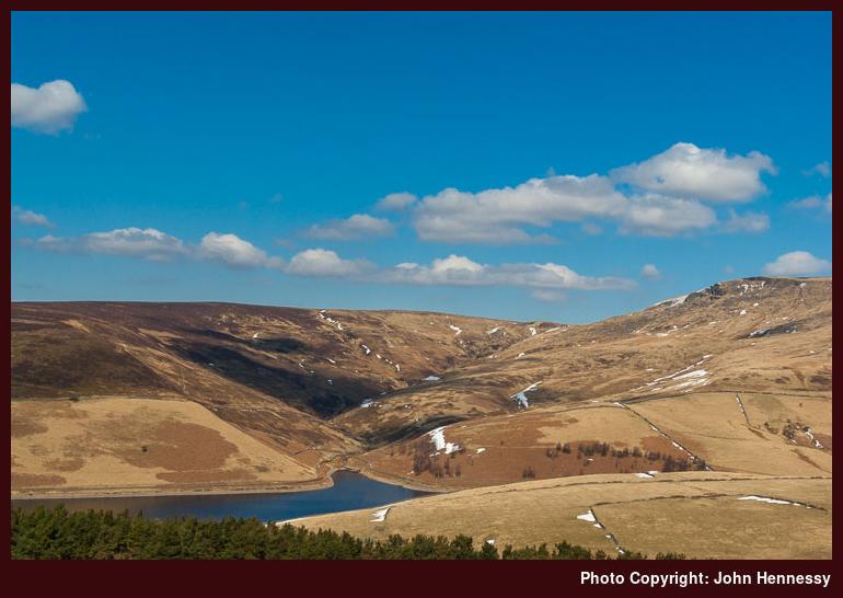
Kinderlow End lay right in front of me now and I was seeking the path that would get to views of Kinder Reservoir that I had not seen for the most of ten years. Those were under overcast skies and I quite fancied seeing them in prettier weather. Before then though, there was time for a spot of lunch and I needed to contend with a gate that was forced shut by a bank of snow. On finding how much I was losing to get to the sights that lay in my memory, I started to change my mind about the course that I had planned. Though it often is a wrench to do so, there are times when you can take on too much, so your cloth has to be cut from your allowance. This was one of those and I dropped down towards the Kinder Dam, crossed below it and started to gain height on the other side.
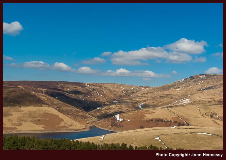
Kinder Reservoir is one of those operated by a water company and once had its own purification facility. This is now shut with the required processing going on elsewhere and broken skylights on what otherwise looks like an impressive building are signs of its redundancy; hopefully, its fate doesn’t mean utter dereliction. Leaving the former purification plant after, I continued along White Brow and Nab Brow to retrace a route followed under overcast January skies in an era before this blog started. Recollection of the actual year is vague now but 2003 feels about right. Retracing of steps got sights from that earlier occasion on a more flattering and so were worth any toil. Below me lay permissive paths that encircle the reservoir and it was to pain me a little to have to lose height to go near their level to cross a stream before heading up William Clough.
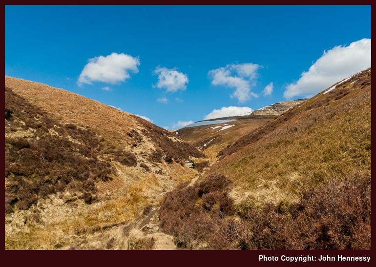
William Clough never was seen by me in better conditions and I revelled in the sights that lay ahead of though the path was uncertain at times. In fact, I was unsure whether I was following an intended right of way or taking advantage of a permissive path. Either way, I negotiated my way uphill steadily and negotiation was the appropriate term when I encountered a bank of snow covering the path near the top of the clough. Once past that, I didn’t have far to go before the gradients eased again. Some folk were asking me about the way down and a National Park ranger passed the way and they went with him so I assume all was well for them from that point forward.
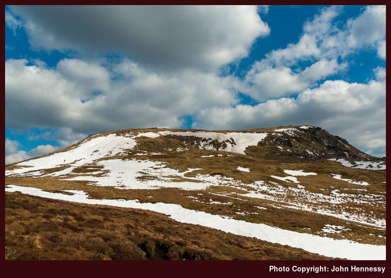
Once above William Clough, I found that clouds had filled the sky and it looked as if hope for sunlit scenes was extinguished for the day. Hence, any photos of the northern elevation of Kinder Scout were made with a sense of making the best of what was given to me. Looking at the photo above, it is tempting to think that I wasn’t being dealt cruelty either. Seeing the patches of snow made me not envy anyone following the Pennine Way north off Kinder Scout, though the possibility of following a path via Black Ashop on another day entered my head.
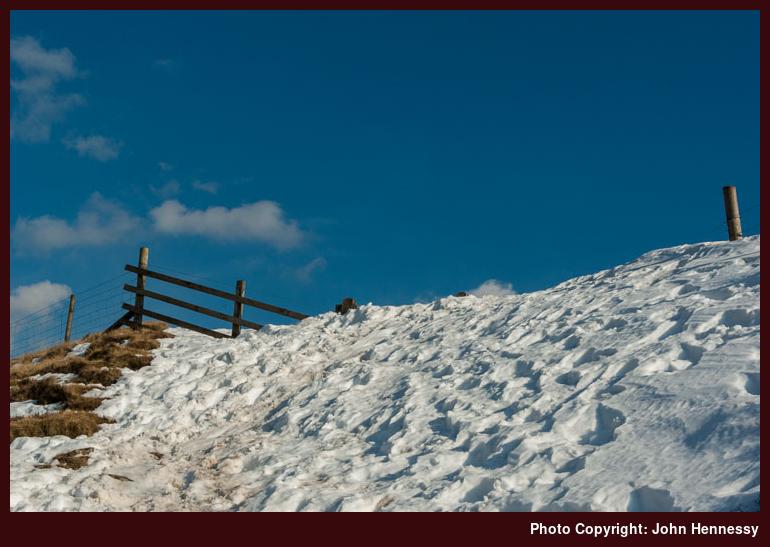
Unlike previous occasions, the flagged path of the Pennine Way felt long as I headed towards the A57. The route taken hardly is a direct one anyone with its liking for going east. There was one good development overhead me though in that clouds were dissolving overhead me. That was set to grant me a pleasing evening filled with the challenge of following the Doctor’s Gate Path back to Glossop after crossing the aforementioned trunk road between Glossop and Sheffield.
There was a hint of what was to come in the form of a snow bank that completely engulfed what should have looked a tame gate appropriate to more domesticated terrain. With a steep incline ahead of me, I needed to gather my wits to overcome this obstacle and there were deviations from the intended right of way to deal with more ill-located snow banks and subsidence that had affected even stretches of path that weren’t snow-covered. It certainly isn’t easy terrain for off-road cycling or horse riding, so the bridleway designation mystifies me.
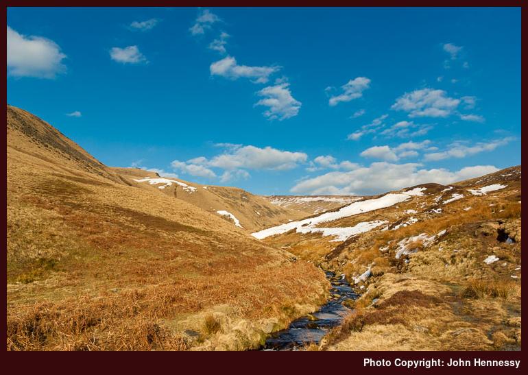
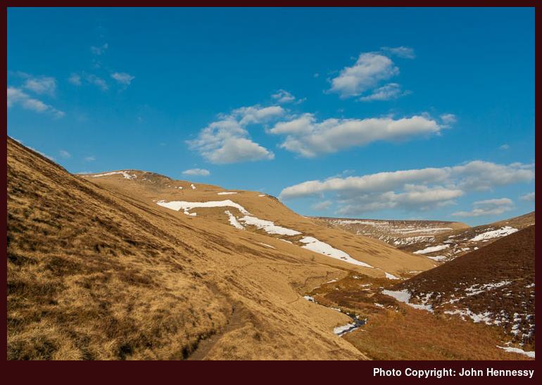
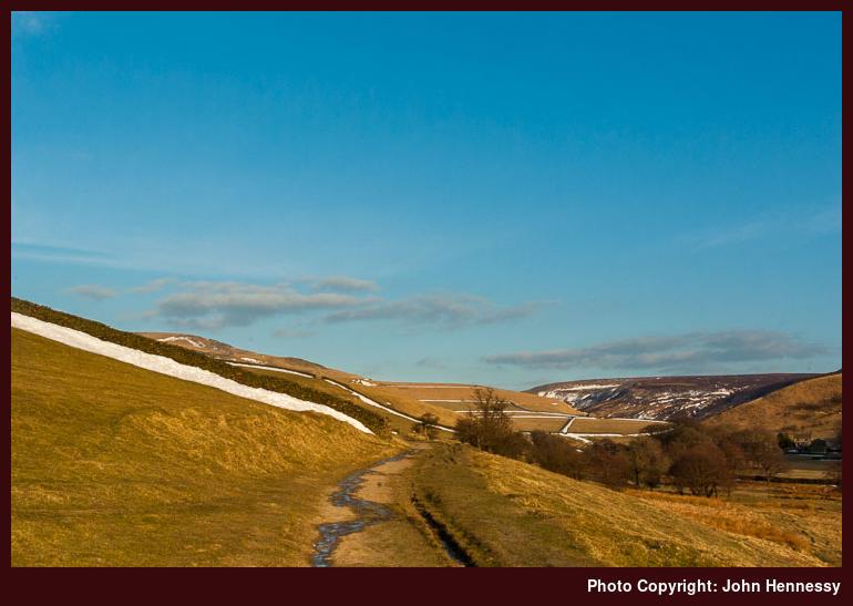
Nevertheless, the Doctor’s Gate Path does grow more tame as you come nearer to Glossop. In fact, I see the footbridge crossing Shelf Brook as the dividing line between wilder and tamer countryside. There is a path beyond there that takes you higher up the hillside so that muddy brookside hopping can be avoided. With some time to hand, it was around here for another I took another refuelling stop and sampled the peace of my surroundings. It was balm for my torn insides so I relished the moments that I had.
From then on, the walking was easier and the path turned into a track around Mossy Lea Farm and I started to encounter folk out for a quick late evening stroll before the light finally died. My guess is that they were sticking to the good track and were far from intent on seeking adventure. A minuscule slice of that had come my way, though it was the quieter moments that I really relished when my spirit needed them. That excuses for other walks appeared in the form of that intended route along the western edge of Kinder Scout or a possible paved path that leads by Whitethorn Clough that could become a more direct route option for hiking to Glossop from Kinder Scout. It was if some things from a previous life remained for what felt like a very new one.
Travel Arrangements:
Bus service 58 to Buxton and bus service 61 from there to Hayfield. From Glossop, I went home by train with a change in Manchester Piccadilly.