Category: Mind & Spirit
Embracing what lies on Killarney’s doorstep
 17th December 2024
 For a long time, I had fancied spending more time in Killarney than a day trip. Many family ones have happened, I began to embark on a few of my own during 2022. When the time for a summer break came, and I did not feel ready to go further away, it felt like the ideal time to explore Killarney in more depth.
Because of the way that my time in Ireland pivoted around a weekend, there was an impact on accommodation choices. The result was that I divided my time between Killarney and Cork, shortening my time in the former, especially since I arrived in Ireland on a Tuesday. While a Sunday arrival might have avoided the Saturday night surcharge just as well and given me longer, that was not how things happened.
Still, having three full days of exploration brought innumerable delights my way in any case. The longer Irish evenings of summer also helped with this, ensuring that there was no need to rush because of declining hours of daylight. The continued ability to access the Muckross estate was another aid, particularly given how wonderful sunny Irish evenings can be.
Nevertheless, having another whole day or two could have fitted in an ascent of Mangerton as well as a visit to Tomies Wood. The former was addressed during the past summer, while the latter remains. Perusal of a map put the idea of an excursion to the latter from Meetings of the Waters, only for further reconnaissance to quash that daydream. Another visit to Killarney can take me that side of Lough Leane, the reputed lake of learning (apparently the origin of the name if a certain jarvey is to be believed; the translation from Irish certainly works).
Three Days on the Hoof
Following hindsight, I decided to split things up again in retrospect. Seeing a reading time exceeding twenty minutes was enough to do that after the first edit was shared with the world. Thus, each full day gets its own trip report; that means one for the day around Knockreer, Muckross and Muckross Lake, another for the hike along the Kerry Way between Kenmare and Killarney with a side visit to the top of Torc Mountain, and one more for that spur of the moment traipse from Beaufort through the Gap of Dunloe and Black Valley back to Killarney with added encounters with Upper Lake and Torc Waterfall. Each day of my stay brought its own unique experiences, and giving them their own space in the limelight only seems fair.
A lot got packed into those few days, and the longer evenings of an Irish summer really helped with all this. The weather provided its own share of encouragement; it was all enough to make me proceed like a child in a proverbial sweet shop. Killarney just is that kind of place, from the allure of Ross Castle and the serenity of Muckross Lake to the stirring sights from the top of Torc Mountain. Such journeys only can be filled with moments of reflection and wonder, particularly at the Meetings of the Waters and amidst the vistas of the Gap of Dunloe. The serendipitous detour through the Black Valley on that last full day evinced a certain spirit of spontaneity. While a certain amount of planning is essential, it is those unexpected moments that are the very ones that become lasting, cherished memories.
One Last Foray Before a Departure
Before heading for Cork, I again returned to Knockreer for another circuit, one that was diminutive compared with the rounds that I had been doing the preceding three days. It was a way of saying farewell to a place that had given me so much during my stay there. The longer encounter had yielded ample rewards.
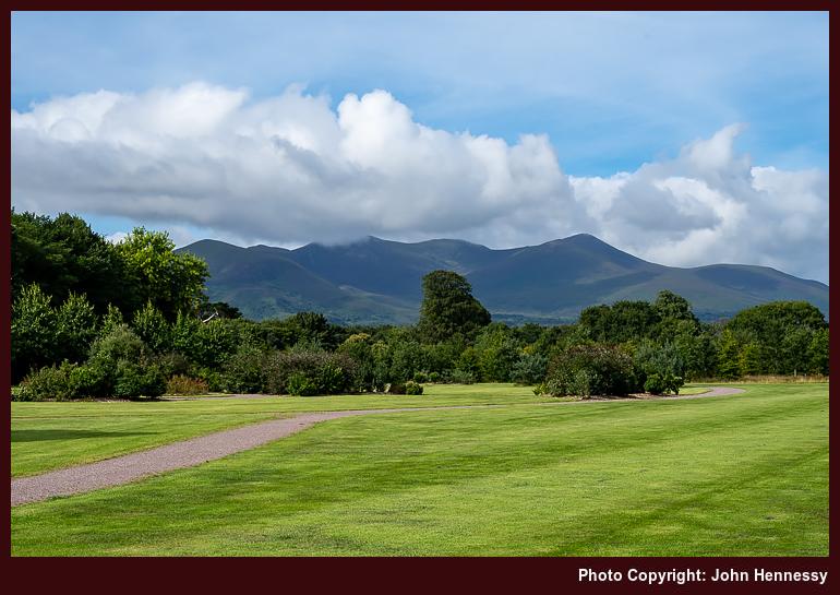
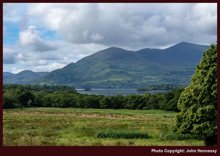
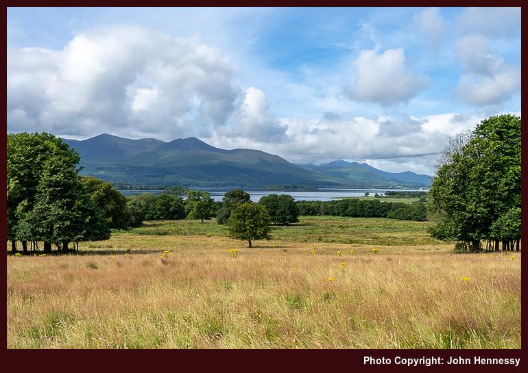
This was one extra chance to glimpse the unique mix of lakes and mountains that draws so many to Killarney. It is not for nothing that it is a favoured spot for me. Though parts can get busy, the place does have it quieter corners too, and I found a few of them over the years. Too many descend on the obvious attractions, leaving the rest for others who seek them. It is ever thus with so many scenic spots; connoisseurs are left with the best bits that need more effort to reach.
Travel Arrangements
My journey commenced in Macclesfield, where I boarded one train to Manchester Piccadilly and then another to Manchester Airport before taking a flight across the Irish Sea to Dublin. A delay to the arrival of my flight meant that I needed to take a later train to Killarney, changing trains in Mallow. The swiftness of Dublin Express services could not compensate for that, even if I did get to fit in an impromptu visit to the Phoenix Park. On the way to Killarney, there was added nervousness at Rathmore while adding the passage of a train coming the other way, especially when we were running late already. All was well in the end, though; I was none too late for my hotel reservation.
During my stay, I used Bus Éireann's network to explore the region. Travelling to Kenmare on service 271 got me to that trailhead for my hike along part of the Kerry Way back to Killarney. Going on service 279 to Beaufort Bridge set me up for the Gap Dunloe, from where I staged that unplanned hike back to Killarney using another section of the Kerry Way. Finally, the Expressway service 40 provided a scenic route through some of southern Ireland's verdant landscapes on the way to Cork for the next part of the sojourn.
Sun, rain and Irish explorations: Journeys along the Dingle Way and more
29th November 2024 With a few matters to address in Ireland and a wish to steer clear of the Jubilee celebrations, I found sufficient motivation for embarking on another journey to the Emerald Isle. After the success of a previous stay in Limerick, I fancied the prospect of basing myself in Killarney for a change. However, the timing included the Whit Weekend Bank Holiday in Ireland, which I blame for my encountering exorbitant accommodation costs. My trip later took me to Killarney for a day outing, when I found the real reason for the extortionate costs: Bikerfest was in town and had attracted a huge following.
Meanwhile, I had settled on Tralee as my base. While that put the Dingle Peninsula on my doorstep, there was another trip to West Limerick to check on things there. In the background, there were things to progress to which an inclement Thursday allotted some time after a morning stroll in the greyness. Friday started out grey too, so that allowed one or more phone calls to be made. This was not the full mix of weather, for eastward bands of rain blighted the bank holiday weekend, making decisions about where to go that bit more difficult.
Serendipity on the Kerry Camino
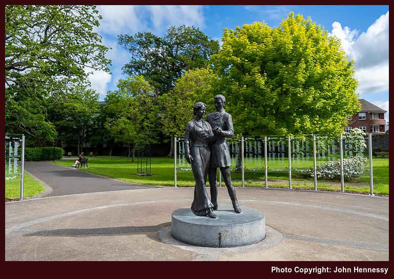
It took until Wednesday for any sunshine to successfully break through the cloud cover, too; this was a sojourn that needed patience and perseverance for any photographic rewards to be savoured. As the clouds broke overhead, I spent some time around Tralee's town park, using any photographic opportunities that arose. That afternoon, I followed the trail of the Dingle Way out of the town for what, I thought, was an out and back hike.
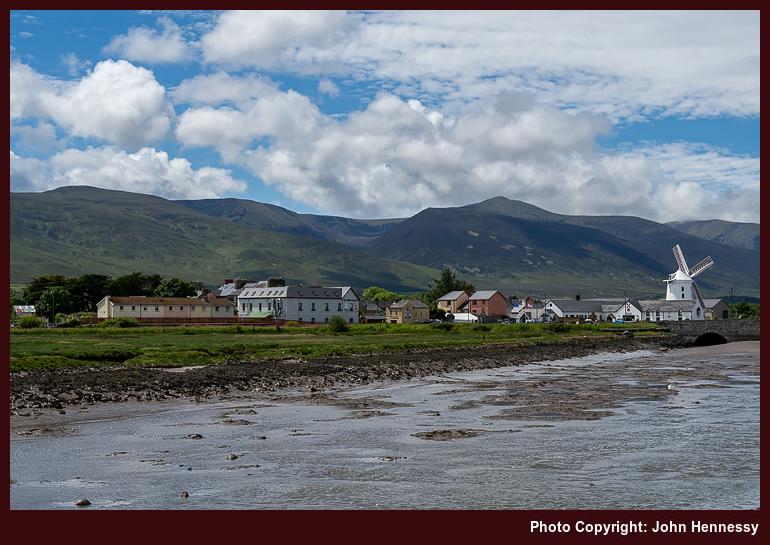
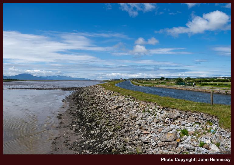
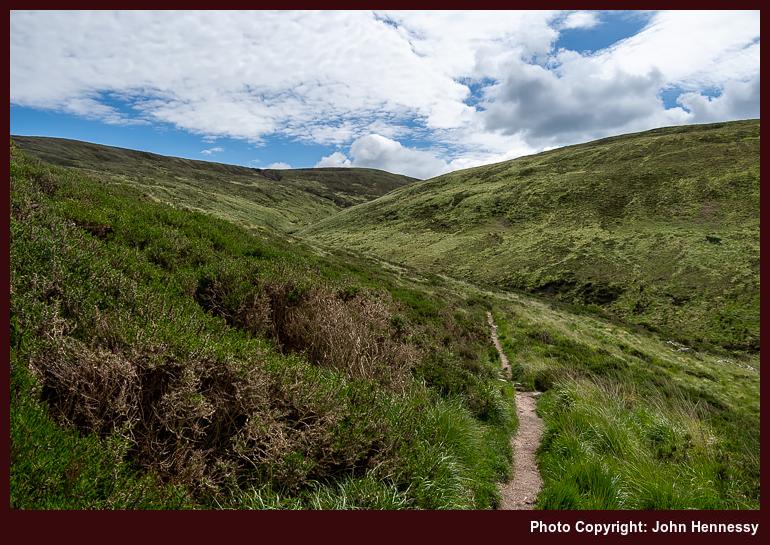
While following the towpath of the ship canal was an option, I kept more closely to what the map showed to be the route of the long-distance trail, which ended up with my walking by the side of the N86 as far as Blennerville, with its iconic windmill in view all the while. Once through the village, I ended up leaving the trail for a circular foray into the foothills of the Slieve Mish Mountains. Unlike my time in Limerick, I was shod for the travel over rougher ground. The Berghaus boots may have been intended for lighter wear, yet they acquitted themselves well in the circumstances.
On returning to the Dingle Way, also known as the Kerry Camino between Tralee and Dingle via Annascaul, I still had intentions of circling back to Tralee. However, the splendour of the scenery in the sunshine continued to lure me along until I made a spur of the moment decision to continue to Camp; the availability of a decent bus service between Tralee and Dingle was what decided me as much as what was delighting me.
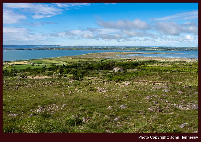
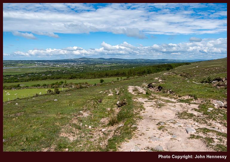
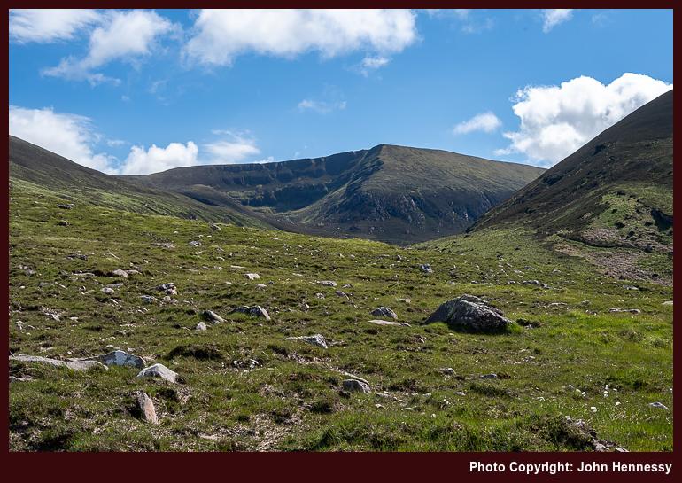
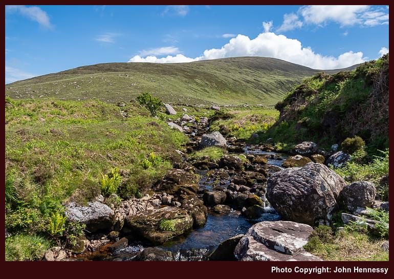
Views across Tralee Bay and inland towards Stack's Mountains and Glanaruddery Mountains drew my eyes away from where I was. Even so, it was looking back along the slopes of the Slieve Mish Mountains that really held my attention. However, any peering into the dramatic setting of Baurtregaum was curtailed by the need to reach Camp. In the end, there was no hefty time constraint, so I could have lingered and gazed for a while. Even with the emotional recollection of hurrying by, I still ended up with more images than the sense of rush would have suggested. That has calmed things for me.
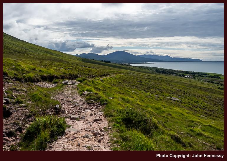
Thus, any regrets regarding a rude rapidity of my passage have faded; advancing clouds were calling time on any dawdling anyway. The sunshine was receding and I on the most rugged stretch of the path. There was height gain too to go with any western views that made one wonder about the possibility of glimpsing Brandon and its neighbouring hills.
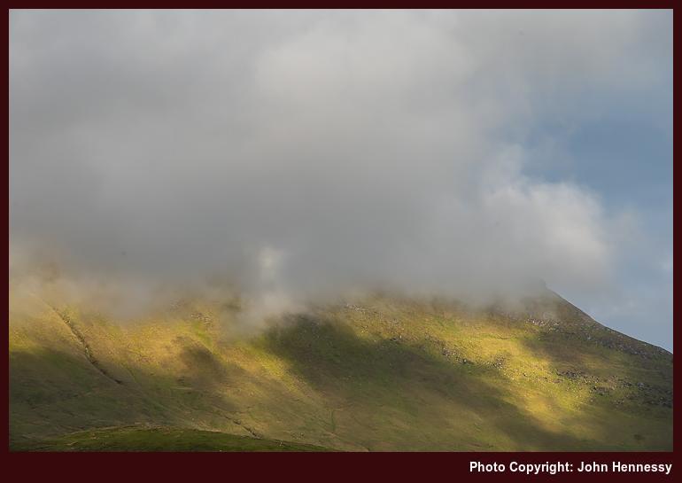
Any ascent came before a gradual descent on a trail disinclined to show me my eventual destination; having to go up while knowing that you need to go down needs some forbearance. That was not all, for patience under grey skies was the order of the moment before I reached the N86 again. Wearying limbs carried me into Camp, where refreshments were obtained in advance of awaiting the bus back to Tralee. While there had been some serendipity regarding the hike that I had completed, much felt magnificent on what was my deepest incursion into Irish hill country at that time.
An Impromptu Ventry Circuit
In advance of an onslaught of rain on Thursday, I pottered around Tralee and went out along its ship canal, an entity that had been unknown to me. The skies were overcast yet dry, so I went as far as I could go before the shoreline halted me. Then, I made my way back to Tralee via lanes to reach cover before any inclement weather arrived. During the stroll, I spotted signs for the North Kerry Way, a trail that had its uses only days later.
With all obligations met, I had Friday afternoon to myself. Even with overcast skies, I still went to Dingle. Once there, I had the gift of well broken cloud cover that allowed long spells of sunshine. Making use of that situation, I followed the Dingle Way westward. Traffic on the R559 was such that I was happy to leave it for a far quieter minor road. As I followed that, views towards an unclouded Brandon were a feast for one's eyes, even if an uncooperative foreground and occasionality of the sunshine made for challenging photographic composition.
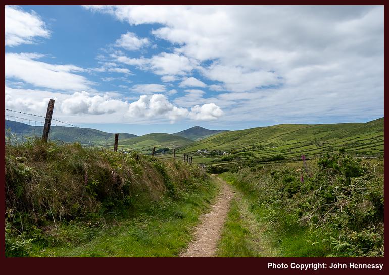
Tarmac was left after me for a time on the way to the route of Siúlóid Cholmáin, a looped walk that passes Cill Cholmáin and Rathinane Castle. The former is the ruins of an Early Christian Monastery founded by Saint Colmán, and the latter is a fifteenth-century castle built by the Fitzgerald family, perched in a ring fort. As with many of these things, I have little recollection of the monastic ruins and the castle was on private, so I only could view it from a distance.
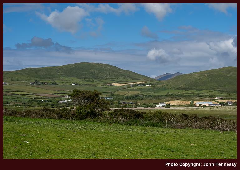
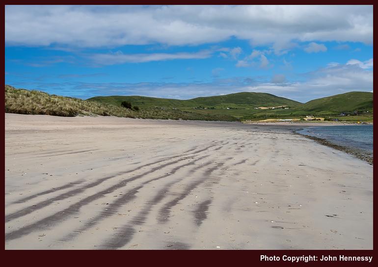
All this took me back on tarmac again yet in pleasing surroundings on quiet back roads. Others were out in the sunshine too, so there was at least one cheery greeting coming in my direction. Leaving the true route of the circuit, I ventured onto Ventry beach. Looking ahead brought me eyes to a gap where I might have been seeing Brandon or one of its neighbours. Looking right brought my gaze across Dingle towards the northern shore of the Iveragh peninsula and smaller landmasses lay further west. My contention is that I was seeing the distant Skelligs on a clear day.
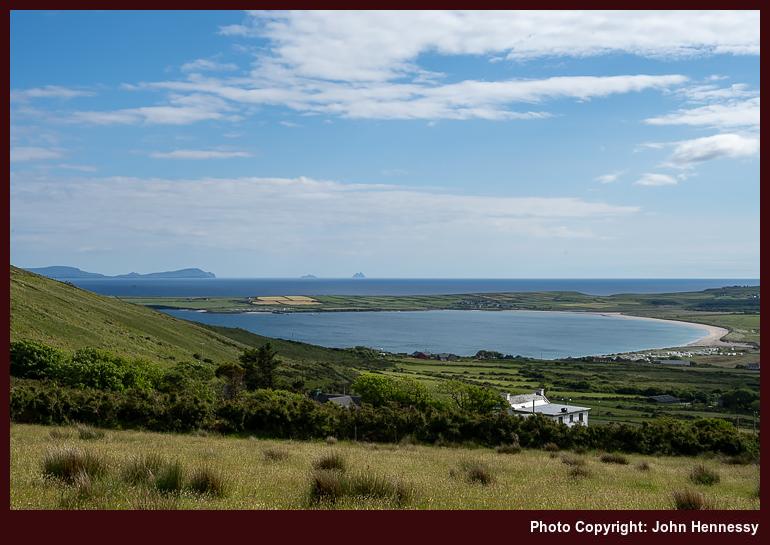
Once off the large expanse of sand with its own lifeguard on duty, I was hailed by cheeky youngsters as "Bandito" because of the hat that I was wearing to keep off the sun. All that could be done was to laugh at their impetuousness and carry on; little harm was being done. Returning inland involved an ascent with ever expanding views before I returned to the Dingle Way to reprise the way back to Dingle.
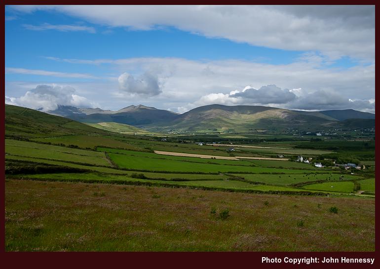
A piece of cartographic fiction caused me to vary the route while on a false errand. That also brought me past barking dogs, an ever intrusive experience in the Irish countryside. On attempting to find it on private land and coming to an impassable obstruction, I had to give up on Cosán na Naomh and traipse tarmac all the way back to Dingle after adding more distance to my return route. Nevertheless, the exercise offered me more views of a by now clouded Brandon. The cost was something of a dash to make the penultimate bus of the day from Dingle to Tralee. Cloudier skies meant that I could do so without distraction.
An earlier departure from Tralee might have allowed for a longer circuit or a visit to Dunquin, familiar to many an Irish student of the life of Peig Sayers. A lower level circuit of Sliabh an Iolair (Eagle Mountain, in English) would have its appeal. Saying that, what I sampled gave plenty of satisfaction, so I do not feel short-changed in any way at all. Given the weather prospects of the weekend to come, it was best to snatch any opportunity with both hands.
A Morning's Meander
In the words of a local shopworker, Saturday evening turned out nasty. Heavy rain had arrived, not from the west as most would expect, but from the east. If I had known that it take until around 18:00 to do this, I might have made more of the day. Going on a day trip to Killarney would have been a possibility.
Thinking that I only had the morning, I made use of the Greenway to see how far I would get to Fenit. The answer was: not very far. Curiosity led me onto the R551 to see how things looked and works to convert the old railway remained in progress. Given how busy the road was, that possibly was a case when inquisitiveness was best left aside, especially when I inadvertently walked in front of an oncoming car, making it stop, yet without any harm being caused to anyone. The Greenway has been opened since then, and surely must be a boon for off-road recreation, and bus services have been enhanced too.
Suitably chastened and disabused of the idea of going to Fenit, I made my way on to the North Kerry Way near Spa, using lanes that were busier than was ideal. Thankfully, things were quieter after I had passed the entrance to the golf club. Once off the road at Spa, things were better again. This was following up on an idea that came my way on Thursday morning.
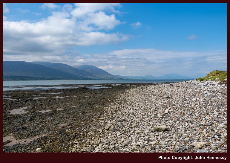
The morning was bright with some hazy sunshine too, which was more than could be expected. Westward views along the Dingle peninsula were there to be savoured on a trail that shadowed a stone shoreline. Eventually, I would follow the towpath of the ship canal, where an unexpected inconvenience intruded on my day: the local rowing club's training session. One of their number was using a bike to follow their progress, stopping rather too often for my liking. Constant leap-frogging is not the most restful.
When I got to Tralee's town park, the heat of the day was there to be felt. The sunshine was strong, and I attended to some shopping needs that I had. It felt rude to go indoors when it was not inclement outside, yet I possibly felt the need to do just that after a morning of walking. This was a period when it looked as if Met Éireann was struggling to predict what was coming to a greater level of precision.
Between Crowds and Clouds
Figuring out what to do on Sunday became a challenge because of the lack of apparent certainty. Seeing that Killarney could be drier was enough for me to give the place a go. Until the previous encounter in April, expectations were not high. The weather information did no better than that.
If I had known that Bikerfest was there, Killarney may not have been an option at all. All too often, I arrive somewhere not knowing that an event is happening there. Fort William, Dolgellau and Bath all fall into this category, though there were ample workarounds in those cases. Visiting a crowded location soon after the zenith of a global pandemic was not my intention, not that the timing bothered many around there. Those attending Bikerfest simply behaved as if there were never a pandemic at all, not a situation that I found comfortable.
On the way back to Muckross, vehicles were parked everywhere. The impression was that Killarney was overwhelmed and any management of roadside verges for wildlife went by the wayside. Motorcycle engines sounded everywhere, with many going towards Moll's Gap and powering up throaty engines on the way. It is an utterly alien situation for a quietude seeker to meet.
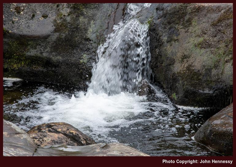
Thankfully, Muckross was blissful in comparison, The racket and the crowds were distant there, gifting the much-needed respite. The day remained overcast with low clouds on the hills. Even so, I continued to the top of Torc Mountain, passing Torc Waterfall on the way. Even with poor visibility at the top, the well-made path made it straightforward to get there. It was best not to move around too much on the summit, so I made my descent again with ideas planted in my mind for later. One was revisiting Torc Mountain in clearer conditions, and another was following the Kerry Way from Kenmare back to Killarney. An August incursion would make use of those prospects.
The way back to Killarney again tried me until I escaped through Maurice O'Donoghue Memorial Park to less crowded surroundings. From there, I made my way into Knockreer Park in the ever dampening air. The attendant lack of people was a balm to the soul, regardless. Passing the cathedral, I made for the train station, where a wetting accompanied a wait for the next train to a much wetter Tralee.
A Walk in Manannan's Mist
After being a little unnerved around Killarney, I fancied a quieter day in the Kerry countryside. Prompted either a perhaps overoptimistic forecast or an overly hopeful self, I set off for Dingle for a hike to Annascaul. While going from Camp to Annascaul was a possibility too, I scotched that in light of the likely conditions. The sights from the bus ride along the N86, which shadows the route of the Dingle way, validated my reasoning: the cloud base was too low.
On that Bank Holiday Monday, Dingle was blissfully quiet as I set to attend to a few needs in advance of setting off in the direction of the Connor Pass. It was another section of the Dingle Way that I was using as I did this. A little route was needed to get going, and the air grew damper as I gained height. Visibility was another matter; even with being near the aforementioned pass, I could not see it. Even so, I ventured off the long distance trail in its direction, only for the wetting from damp vegetation to send me back. Some things are best left for days with better weather.
In time, the air was to get drier. That was not before whimsical thoughts emerged regarding Manannan's mythical nightly shower in the Dingle mountains and his leisurely morning routine. Losing some height on the way to Lispole helped with the dryness, though care was needed with navigation. At one point, I nearly followed a mucky farm roadway before seeing sense and turning back to find the correct route. Any spatters would need attention later.
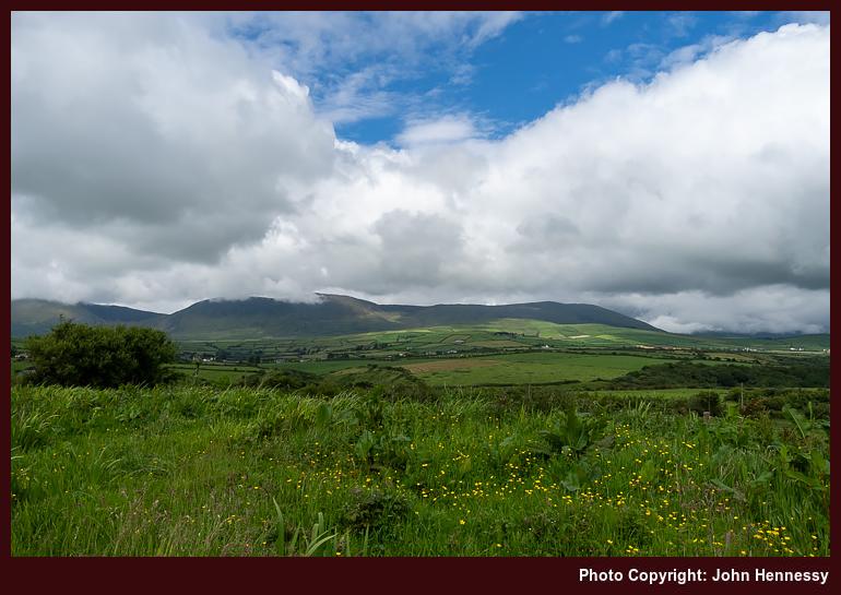
If it were not for boreens, there would have been less pleasure on this day of walking; it appears to me that they are an Irish speciality for long distance walking, a unique feature that I have not met elsewhere. All was quiet as I peered towards the southern shore of the peninsula. It even looked as if there might be some brightness, though any that came only was fleeting. Kilmurry Castle beckoned to me as a landmark, and I was to tarry around there for a while. Then, gazing west showed that my decision to go east was not ideal for enjoying sunshine. Going to Ventry or Dunquin might have made a better option if bus times facilitated such designs.
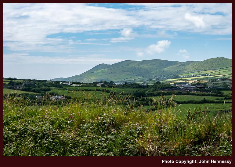
On the way from Kilmurry to Annascaul, views of the hilly spine of the Dingle peninsula were vastly more plentiful than the amount of sunshine that I was getting, though there was some. Some of the houses that I passed were unoccupied and falling into nature's embrace, making me wonder if anyone might use them as a starting point for a restoration project. The present cost of living clearly limits that kind of thing, though.
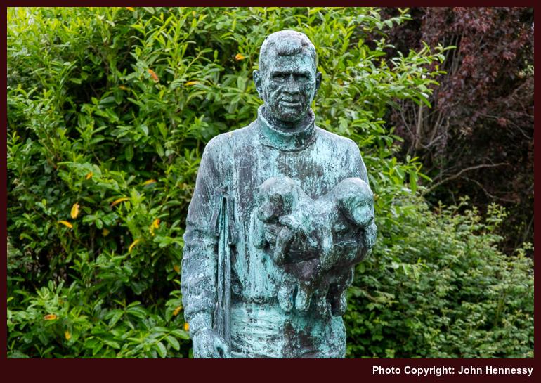
Road travel took me into Annascaul where I was greeted by the sight of the South Pole, the pub operated by Tom Crean after his Antarctic adventuring came to an end. Finding the bus stop was the next task before topping up on refreshments. Before the vigil for the next bus could commence in the rain, various signs were perused to learn some history of the place, such as the fate of its Church of Ireland place of worship. If my memory is not confabulating again, others highlighted walking possibilities in the area, some featuring nearby Lough Anscaul. There is more than the Dingle Way around here.
An Underestimated Gateway to Kerry's Hills
In summary, Tralee has much to offer as a hill wandering base. While it may be overshadowed by the delights of nearby Killarney and is a working county town, the proximity of the Dingle peninsula is in its favour. Public transport options are workable too if you do not want to use a car. For section walking of the Dingle Way, using your transport becomes much more awkward anyway.
As in my case, the weather may be unpredictable, yet it is possible to work around that. When the sun shines, all looks all the more magnificent when you realise what a gift that is. While some may be focussed on climbing Brandon, a challenge that commands competence with navigation to avoid steep ground in low visibility, there is much else that is more accessible. Even with much gained, there are sufficient excuses that prompt my return. Sometimes, anywhere that is overshadowed can be more valuable than what is overshadowing it.
Travel Arrangements
This multi-city journey through Ireland commenced with a Ryanair flight from Manchester Airport to Dublin, an opportunity to see how restrictions had been eased even further, albeit with added trepidation. Any chaos that affected outbound flights from Dublin the previous weekend did not impact me at all, though they were a sign that service restoration was not keeping pace with increasing demand. Thus, I could board Dublin Express service 782 to get to Dublin's Heuston station, where I boarded an Iarnród Éireann train service to Tralee, transferring at Mallow station, as planned.
Regional transportation was facilitated by Bus Éireann, using their service 275 for connections between Camp, Tralee, and Dingle. For the Killarney day trip, I employed Bus Éireann's Expressway service 40, returning via rail transport. The return from Tralee comprised a combination of Iarnród Éireann and Bus Éireann services from Limerick to Cork Airport, where I continued the journey with a Ryanair flight back to Manchester, followed by a train journey to Macclesfield, reversing my outbound mode of travel.
Filling in gaps and reorganising what became unwieldy
7th November 2024 The travelogue has seen quite an amount of attention in the last few weeks. Firstly, a lot of content has been added or refreshed. Destination directories have become more informative articles, giving rise to new sections for Canada and the U.S.A. The former Alpine and Pyrenean article for Europe has been split up into its own section. Other sections have been renamed and many articles retitled.
The enabler for all this flurry of changes has been the advent of GenAI; it is now possible to automate a lot of the effort. It still needs human oversight and can be heavy work from time to time. As with human help, not every tool is as effective as one might like it to be. Getting to know such foibles is becoming essential for the world of work.
The gap filling also happened around here as well. Wherever there was a collation of websites, descriptions were added. In one case, a more narrative form was made from what was there; it is the outdoor pursuits inspiration piece that was progressed like that. In time, that may be the way that things go in other places, too. If you want to check what has happened, all the activity was in the resources section. The collations of long-distance trails and online retailers are among the beneficiaries.
While changes may have been dramatic thanks to new text processing technology, much remains unaltered. While the appearance may get attention sometime, that is not a priority for now. Trips remain human written anyway; the technology does not do all for us anyhow. You may have notes, but a machine can only do so much with them; it cannot carry over your personal touch that well or easily.
It all takes my back to university days, when a lecturer found regurgitated errors in someone else's work. Then, the advice was to use the efforts of others for inspiration, not transcription. That remains ever more relevant in the times in which we now live. We need to learn how to use the new machines to help us, and that will be a longer process with its share of slips and trips before everything gets consolidated again.
Required: energy plus inspiration; unshackling that enables relocation
30th October 2024 While every year of our lives can be unique, 2024 has been more unusual for me than others. The main cause has been the reorganisation of what I have in Ireland, selling some of what I hold while getting a new family base there. All this takes time, of course, and has meant that I spent more time in Ireland than has been the case for a long time. Some of that was used for the painful work of clearing out an old family home for sale. Now that effort is complete, my mind can turn to other things.
Spending more time in Ireland meant that I got to explore the place more than I ever did. There were numerous visits to parts of Kerry and West Cork, while Waterford, Limerick and Tipperary. Clare looked like being omitted until I journeyed through the county while on a day trip to Galway. All that rambling now means that I am a little short of ideas for Munster explorations, a situation in which I never thought I would find myself.
The location in Cork city also is a limitation. While the area is quiet, it also means that there is a thirty-minute bus journey to reach bus and train stations for onward travel beyond the city. In some ways, this takes me back to when I was living in Edinburgh. In those days, youth and novelty were sufficient to overcome some of the inertia that being outside a city centre can bring. It also reminds of how fortunate that ten to fifteen walk from my house to Macclesfield's train station has been for various getaways.
Another thing about Cork that hit me during a week or so spent in Ireland during August 2022 was that any Irish hill country is further away. For that, you need the energy to get to Kerry, Waterford or even Tipperary. For a time during this autumn that was lacking, though things are picking up now. It appears that staying put somewhere for a while helps with building motivation.
In many ways, it is its coastline that marks out the county of Cork as exceptional. There are three main peninsulas, Mizen, Sheep's Head and Beara, and I have got to some part of all of them. Add in Kinsale and there is a building exposure. Around Cork harbour, there is a lot too, though industrialisation dulls the appeal somewhat. In East Cork, there is Youghal and Ballycotton, the latter of which I have yet to visit for its clifftop walk; an infrequent bus service means that might be a full day trip unless inland travel on country lanes is part of a hike. A need to find more of what is nearby had me looking on AllTrails, though use generated content needs care and everyone needs to hike their own hike, not someone else's one.
With time, a stay elsewhere in Ireland might be the solution. In a good way, Limerick is somewhat spoiled by its location with access to Kerry, Clare and Tipperary hills, not to mention Shannon lakes like Lough Derg. Galway and other spots in Ireland's west and northwest have much to offer, and there also is Northern Ireland.
Your possessions can possess you; that might not be helping me with the new base in Cork. Slowly, but surely, I am starting to move beyond the that stage for letting go often is the only way forward. Places in the U.K. continue to beckon; Inverness was another prospect this year, with its potential as a jumping point for hikes around the shore of Loch Ness or further afield for a circuit near Achnasheen comes to mind too. North America again comes to mind as a reward for unshackling myself.
Before the financial transaction went through, I was free to explore several parts of Scotland and France, and did so. There was another session of house clearing before all that: decluttering my own base in the U.K. A lot has happened this year during a break for other paying work. That too needs a return.
Though there is a danger that it could be procrastination, especially at this time of year, much has been happening on the content side with this online outpost. Trips reports have been written that got me past both 2020 and 2021 into 2022. The mention of a certain pandemic will decline to near nothing in these, probably to the relief of some. 2021 was so dull that night walking may have been undertaken for the sake of the novelty that was absent, though it might have been a respite after 2020 brought the most challenging kind of upheaval. That night walking dallying has erupted again along the shores of Lough Mahon too, which makes me wonder if there is any resonance, and 2024 has not been that dull.
In the background, there has been dabbling with what new GenAI tools can do for this place; they help and can be hard work to get anything like what you need from them. They assisted the fleshing out of destination guides for Canada, Australia, the Canary Islands, Cinque Terre and Mallorca. The first of these became a major effort that likely needs splitting apart to produce a Canada section to the travelogue instead. There is another, handwritten, candidate for that treatment too: the Alpine and Pyrenean article that I compiled a while ago. There are other destination guides that I want to add for various U.S. western states, but that will be more gradual because other things need doing in my life.
The automation also helped to build up the long-distance trails article, as well as the one for additional outdoors inspiration. Numerous empty spaces are getting filled while I get to grips with the technology tsunami that is starting to affect us all in so many ways. It is neither as good as its promoters claim nor as bad as its detractors suggest. One thing is certain: it will be a step change, much like the way personal computing became pervasive thirty years ago.
This will be something to domesticate over time, and retaining our connection to the outdoors is never more crucial. Just like the internet nearly a generation ago, there is the risk of getting lost in a technology bubble with all that is happening. Getting outside in nature can be a counterpoint to all that is happening, for nothing what is perceived using our natural senses. Online experiences may be a way of limiting overtourism, yet we are tactile creatures who need that physical connection to wilder places.
That drew me out to Curraghbinny Woods not so long ago. The day was mild and sunny, and there were sunlit sights of what lay around the place, including nearby Crosshaven and more distant Cobh. No metaverse can replace that. Unshackling oneself to get to these and other places remains more necessary than ever.
Sometimes normality is just an illusion
27th October 2024 In the autumn of 2021, one could be forgiven for believing that the pandemic was beyond everyone. In Europe, most had two doses of the vaccine, so the climax may have been past us. However, there was once more variant at the end of the year that added more caution, at least for a while. Additional vaccinations were performed, and many still caught the infection. Thankfully, the symptoms were milder and this episode became part of the way out. This corresponded with a thought that I had before the full onslaught reached us.
Twice from Buxton to Macclesfield
Near the end of September, I walked from Buxton to Macclesfield during what now looks like an interlude between two waves of infection. The route took me from Burbage onto Goyt's Moss before I went down by Berry Clough to reach a lane leading to Goyt Valley. That was not my destination, so I instead headed for Shining Tor via Deep Clough and Stake Clough, and no sighting of Goytsclough Quarry, hidden in the tree cover. From Shining Tor, I made my descent to Lamaload Reservoir and then went from there back to Macclesfield.
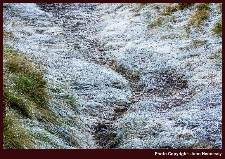
With new restrictions in place, I again set to wandering in more confidence, which may look odd to some. Thus, a reprise of the September amble happened on the last Sunday before Christmas. Until Lamaload Reservoir or even Rainow, both itineraries were alike. A stoppage on photographic recording obscures the end of the September tramp, but a new camera may have helped with that the second time around, for it tells me that I joined the Gritstone Trail as if to make for Tegg's Nose Country Park, though I suspect that the place was avoided in favour of going via Back Eddisbury Lane and Buxton Road in declining light.
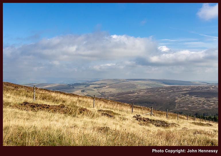
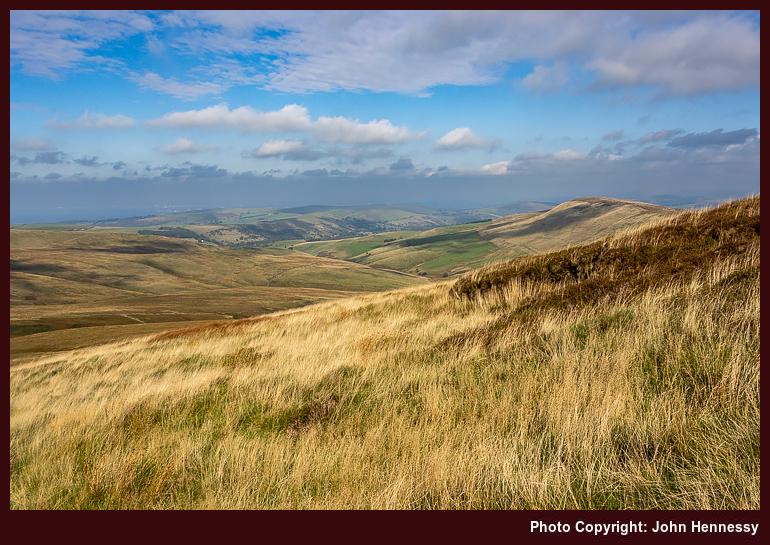
The overriding memory that I have of the September hike is one of greyness, and how busy things were around Derbyshire Bridge. The latter remains, while the former is disproved by the photos that I have. There was a bright start and end to the stroll, especially on the way out from Burbage and then again from Gout's Clough onward; sometimes, your memory plays tricks on you. Otherwise, there was a lot of quite rambling, exactly what I needed at the time.
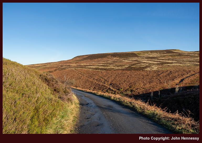
Aside from added restrictions that were nothing like what was in place at the start of 2021, the other thing in the background of the December outing was the presence of fog on the Cheshire plain. This affected flights in and out of Manchester Airport too, though there were not as many of those at the time. One thing that was unaffected was my strolling on higher ground; the bank of cloud lay further west. Thus, I got a fill of much-needed quietude in the winding down of the year. The added crispness gifted by a preceding overnight frost was another blessing that comes with a spell of December sunshine, even if low sun makes for longer shadows. Nothing could take from out in the hills anyway.
The Long Way Home from Poynton
While some risked infection by celebrating on New Year's Eve, I instead opted for an elongated trot behind Poynton to Macclesfield that started in daylight and ended in darkness. Both places are not that far apart, but I added quite an elbow to the route by passing Lyme Park without entering it before continuing around by Jenkin Chapel. In declining light, I shadowed Cat's Tor to rendezvous with the trail leading down to Lamaload Reservoir. From there, I ventured towards Vale Royal in the dark, equipped with a working head torch and knowledge of where I was going. Once I passed Hordern Farm, I was bound for Buxton Road and the last stretch to lit-up surroundings and home.
A fuller list of landmarks goes like this: Poynton train station, Poynton Pool, Prince's Wood, Higher Poynton, Middlewood Way, Macclesfield Canal, Platt Wood, West Parkgate, Dale Top, Sponds Hill, Bakestonedale Road, B5470, Bank Lane, Jenkin Chapel, Howlersknowl, Thursbitch, Lamaload Reservoir, Valeroyal, Gulshaw Hollow and Buxton Road. Most farm names have been omitted from the list for the sake of added brevity, but it might remain sensible when compared with a map.
The canal was attracting others, as were the paths near Poynton, yet things grew steadily quieter the further along I went. This became a day laden with solitary wandering, which was just as well at the time. Some of it recalls an evening when I went from Poynton to Lyme Park, only to discover that I had arrived near closing time. That had taken me by surprise after previous experiences, so I wonder if pandemic reductions in staffing had anything to do with an earlier end of day for the place.
On the way towards Sponds, the skies opened to allow better photographic results from a new camera. A chapel, seemingly opened for the time of year, was passed as I shadowed the boundaries of Lyme Park. My hope was to spot The Cage, a folly atop a hill there, from my route. That got fulfilled, though I was a little too far away for photographic purposes, and there was a certain haze in the air too. Nevertheless, there were other pleasing sights to behold, and I was not left unsated.
Beyond Sponds Hill, the journey began to follow deserted paths in lesser frequented places, particularly after leaving the Gritstone Trail. The surroundings recalled a stroll from October 2007, when I needed respite after something I was doing went against me. Some people were around Jenkin Chapel and there was no throng. After that, it was unbothered wandering into the night, part of a pattern that emerged that autumn. Much of the ground was familiar to me from daylight ambling, and there was a certain release from being out in the nighttime air.
Even so, I was conscious of my use of a head torch near where people lived and worked, and did no dallying. A gate that was not friendly to cross drew my ire because of barbed, yet nothing was ripped or shredded; it became more of a challenge than an obstruction. It reminded me of a nuisance barking dog near a public footpath that appeared during a lockdown and since appears to have disappeared without a trace. It might that any tension caused by increased usage of local paths has ebbed now that everyone has more freedom in choosing where they want to go.
The day and night had brought an element of adventure, while overseas travel remained mostly off limits. Once past a bolus of infection, minds could turn to wider roaming in 2022. Mine was among them: getting to Ireland, staying away from home again, reaching Scotland, and visiting Yorkshire and Cumbria all came to pass that year. In some places, people came across as being more friendly. Having stability helped as well; it is easier to rebuild confidence if you are the only one making the changes.
Travel Arrangements
Bus service 58 from Macclesfield to Buxton on two occasions. Train from Macclesfield to Poynton on New Year's Eve.


