On Western Isles walking guides
12th November 2008In order to build a picture of anywhere that I am going for the first time, I end up hitting the web as well as perusing books and maps to get a sense of the place and where to go together with what there is to be seen. Of course, any plan that results is going to be incomplete so I always feel the need for flexibility so as to explore the unexpected, the unknown unknowns if you will. Things like the stillness of the Uists and Harris’ potent mixture of stony hillsides, sandy beaches and blue seas will forever stick in my memory but it’s discoveries like the Harris Walkway that could prove invaluable on any future trip.
When I started out on my hill wandering journey, many places were new to me but there are now less locations where I haven’t been. Anywhere south of a line drawn below the Brecon Beacons fall into this category as does much of my own native Ireland and Scotland north of the Great Glen. Over time my walking trips have tend to gravitate on certain areas and it’s very easy for some places to keep you profitably occupied, so much so that there are years that I could title by the places where most of my walking took me. 2003 could be the Lake District year for instance. I remain partial to going somewhere that I haven’t visited before and that Western Isles trip falls into that bracket as do a number of trips I made in 2006 when Northumberland and Pembrokeshire saw my footfall.
Speaking of heading onto pastures new, I got the idea that my Western Isles trip needed a spot of research before I went. It could be said that the idea of heading onto offshore islands focussed the mind more than it otherwise might have done. Apart from a certain tourist overview, these were to be terra incognito to me and it might be said that I was venturing further away from the usual locations than is my wont. All of that was enough to get books lifted off shelves and mapping organised.
In fact, I didn’t even have a collection of paper OS maps for the islands even if I did possess digital mapping from the likes of Anquet and Mapyx. A lurk in the outdoors blogosphere will reveal that printing out digital maps is being done by a fair few but I retain a preference for the old style paper mapping from the likes of the OS or Harveys, if only to allow myself more options when I’m actually out there among the hills; it’s amazing what can take your fancy while you’re actually there. Having digital mapping did allow me to refine my shopping list so that I wasn’t expending any more cash than was absolutely necessary. I have to admit that I have developed a taste for OS Explorer mapping and a full collection of these for Na hEileannan an Iar would not have cheap, hence the cutting of the proverbial cloth to my measure. I might enjoy the flexibility offered by paper mapping but both the cost and the need to watch the weight that I was carrying for my week away meant that any overindulgence simply was out of the question.
While I have planned many an outdoors excursion by mere perusal of a map, books remain essential for that broader view. I am very partial to Cicerone’s guidebooks but I found that Walking in the Hebrides didn’t meet my expectations, even with the mention of "Western Isles" in its subtitle. If I had wanted to get an overview of the walking on offer across all of the islands on Scotland’s western seaboard, then it might have been fine but I was after something that was a little tighter in its focus. The fact that it did not contain route maps, even sketches, for any of the walks didn’t help either and it really needs a map open in front of you for the directions to feel that little bit more real.
More more successful in my opinion is Nick Williams’ The Islands from the Pocket Mountains stable. The scope might have been as broad as the Cicerone title but the punchy pithiness of the descriptions really did give a feel for what was there to be explored and worked far better than the often dense prose of Walking in the Hebrides. The featured walks might have scaled the heights and ventured into the wilds but a spot of map perusal picked out lower level hikes through the wonderful stuff.
Speaking of lower level walking, I spotted another even more slender title while actually on my week long outing that might have its uses yet: Luke Williams’ Walks: Western Isles from Hallewell Publications. Again, brevity might be a very prominent feature but there are a plethora of ideas here too. Speaking of mid-outing acquisitions (I can be the proverbial magpie at times, picking up things and adding extraneous weight to what I am carrying, and it’s a habit that needs careful control), I also ended up procuring Charles Tait’s The Western Isles Guide Book with its enticing photos and useful overview of things to see while on the islands.
My mid-trip book buying brings to mind a comment I overheard a few years back, in Portree’s tourist information centre if my vague recollection serves me correctly. The comment itself was the more memorable and I’ll turn it slightly on its head here: to get books devoted to a certain location, you almost need to go there. Even in these days of internet shopping, that still retains a ring of truth about it and it’s an opinion that can be taken even further. You don’t get the full feel for a place like the Western Isles simply by surfing a website extolling its virtues. It’s by going to explore that you find what else awaits discovery and that it turn provides reasons for any return; exploration and discovery begets more of the same and the role of books and maps is to get the process started.
A spot of island hopping Part 7: leaving South Uist for home
16th October 2008At the end of every good trip, there’s the bittersweet experience of the journey home, especially if you like the wilder places as much as I do. Nevertheless, this was a journey that had its good points with the surroundings becoming ever more familiar as it continued. The first part of the journey involved a lengthy ferry crossing from Lochboisdale to Oban and I readily admit that I was looking forward to it because places that I had never visited before were to be passed along the way. After breaking my journey in Oban for the night, it was time to travel on land again, a journey that I had undertaken many times before.
Saturday, August 16th:
Of course, good weather can make any enticing sea journey even more memorable but I wasn’t to be blessed with perfect weather. When I arose on the Saturday of my onward passage, the day was taking a more autumnal aspect with damp greyness being the recurring theme. There was a certain end of season feel too, not at all that inappropriate given that another of Scotland’s school years was to begin on the following Monday.
Drier interludes allowed me out and about for one final stroll in the stillness before the afternoon sailing. However, the dampness was to win over the dryness and cars assembled for the ferry with rain falling. I had by now ensconced myself in the ferry terminal’s waiting room and remained there until the Lord of the Isles made its appearance at the appointed time. Thankfully, it didn’t take long for foot passengers like me to get on board and I went to the cafeteria for a midday meal. A sailing taking around five hours meant that it was never to get overly busy but getting some food was a good use of the time taken for all cars to be loaded onto the boat and the rain meant that being outside on the ship’s deck at this stage in the day wouldn’t have been the pleasure that it otherwise might have been.
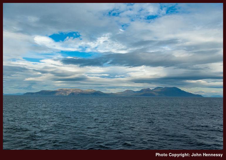
Thankfully, heading due east meant that the rain was going to be left after us at some point. However, we were in the vicinity of Rum before you could reside on the top deck without your sanity being questioned; it was good timing. In fact, there were flashes of blue sky and Rum was allowed to catch some sun and tease any onlookers. Eigg and Much were gathered about the tantaliser while Skye’s Cuillin loomed in the distance beyond it. I did spy some indentations on the eastern horizon from South Uist and wondered if they belonged to Skye or to Rum; I am now inclined to think that it was the former that I had been seeing. Speaking of sightings on a horizon, Colonsay and Tiree may have lain to the south, but there was little sign of them.
It was nearly the halfway point of the crossing before the mainland made its appearance after my being away from it for the most of a week. Ardnamurchan’s lighthouse was approached and passed as we changed to a more southerly direction to enter the Sound of Mull. The appearance of Mull allowed for some spotting of familiar locations like Tobermory and Craignure while we left Ardnamurchan behind on reaching Morvern. This continuous sight of land did make time go by a lot faster than the earlier expanse of open sea. The sun remained hidden away, so my camera was never going to be that useful and so I contented myself with savouring what was on offer. In any event, there’s more to life than being concerned with photographic opportunities every single second when merely taking in the sights is often sufficient.
South of Craignure, I was well into territory frequented on my crossings from Oban to Mull. Landmarks like Torosay Castle, Duart Castle, the island of Lismore, Loch Linnhe, Ben Cruachan and so on all served to remind me that landfall was not far away. Nevertheless, I think that it might have when we passed Kerrera that I went downstairs to collect my belongings. I was well-organised by the time that we were to dock, even if remembering where I put the copy of my boarding card took some thinking (you start to wonder what will happen if you can’t find it…). For sailings into (more) open water, Calmac needs you to fill out a boarding card in addition to purchasing your ticket. For the crossing from Skye to Harris, one copy sufficed, but two were needed for the South Uist-Argyll sailing; I suppose that it’s an extra check that no one has fallen overboard, not at all a great thought.
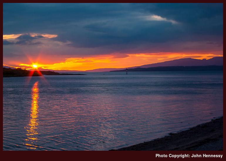
After my island hopping and all the new places that I had explored, you could say that reaching Oban was like a partial homecoming, to what is familiar to me at least. The town caught the sun and a memorable sunset was gifted to those who were out and about. Before all this, I needed to get to the SYHA hostel where I would spend the night. Duly booked in and organised, I then popped out to take in the last of the evening, a perfect end to a good day.
Sunday, August 17th:
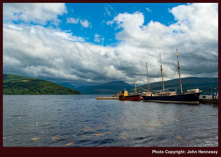
The next morning was glorious too and I had some time to enjoy it before catching the midday Citylink coach to Glasgow; familiarity was to reign supreme for the remainder of my travels. The sun did duck and dive behind the clouds, but the countryside retained its inviting feel as the bus passed Kilchurn Castle and Loch Awe. A short sunny stop in Inveraray allowed for a quick piece of camera action; I don’t believe that I have seen the town and its surroundings catching the sun before. The sun stayed out as we passed Arrochar and Loch Lomond on the way to Glasgow. A flying visit to George Square preceded my onward journey by train, an uneventful journey that is more typical of my experiences of railway travel, that landed me at home at not too unreasonable hour. It was a good end to a wonderful trip to places where I had not gone before, and the best bit is that I am left with reasons to return, should the opportunity ever arise.
A spot of island hopping Part 6: exploring South Uist
8th October 2008Friday, August 15th:
After the wonderful weather that I met on Harris and enjoyed from there to South Uist, the skies on the Friday of my week-long visit were to have more of a milky consistency. That isn’t to say that the day was a bad one, even if I did get a few light rain showers in the middle of the day. Compared to what other parts of the U.K. had been experiencing, these were minor perturbations and I more than well aware how lucky I was.
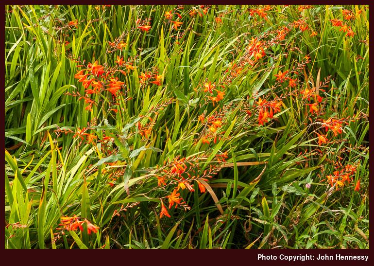
My explorations for the day took on something of the feel of a piece of reconnaissance. The hill country around Beinn Mor and Hecla was where I wanted to explore and that did happen, though not necessarily in the way that I had planned. An idea in my mind was to ascend the slopes of Maola Breac and perhaps to continue to the summit of Beinn Mor. However, a spot of confusion induced by the bus driver meant that I got off near Loch Druidibeag National Nature Reserve instead. Naturally, that resulted in a change of plan and, having seen the way in which the hills had sheathed themselves with cloud, it might have been just as well to stay low anyway. Speaking of lower altitudes, I didn’t limit my explorations to hillier locales since I got to sample South Uist’s machair, one of Scotland’s National Scenic Areas, too. That might have led me to stopping over at Dalabrog (English: Daliburgh) when I otherwise might not have done. May might be the best month for a visit, but the flora can be colourful in August too, as I discovered.
What was equally worthwhile were the sights that I saw as I picked up the road for Loch Sgioport after leaving the bus at Groigearraidh. The hills were well in view as I skirted the shores of Loch Druidibeag. The hills were brooding under their cloudy cloak, but the sun was lighting up what was round about me. As I sped along the road, I was making my way through countryside that was getting increasingly rough, hummocky and lochan-studded. The rocky buttresses of Hecla came ever closer while passing Beinn Tarbert revealed views to the north; I believe that I was making out Eaval in the distance.
As is my wont, I eventually made my escape from tarmac tramping to pick up a good track that was signed for Hecla. It’s best not to leave initial appearances fool you, though, because the maintained track only goes as far as old shielings at Caolas Mor. After that, it’s very much a case of carefully navigating through the country until steeper inclines are reached. Keeping by the coast helps because my wanderings revealed how tricky it would be to find your way using a more direct approach. You might have a right to roam, but the slow progress over tussocks soon convinces you that there are easier places to walk. Seeing it with a grey and damp aspect, like I did, very much reinforces that impression; this was where I got the least clement weather of the day.
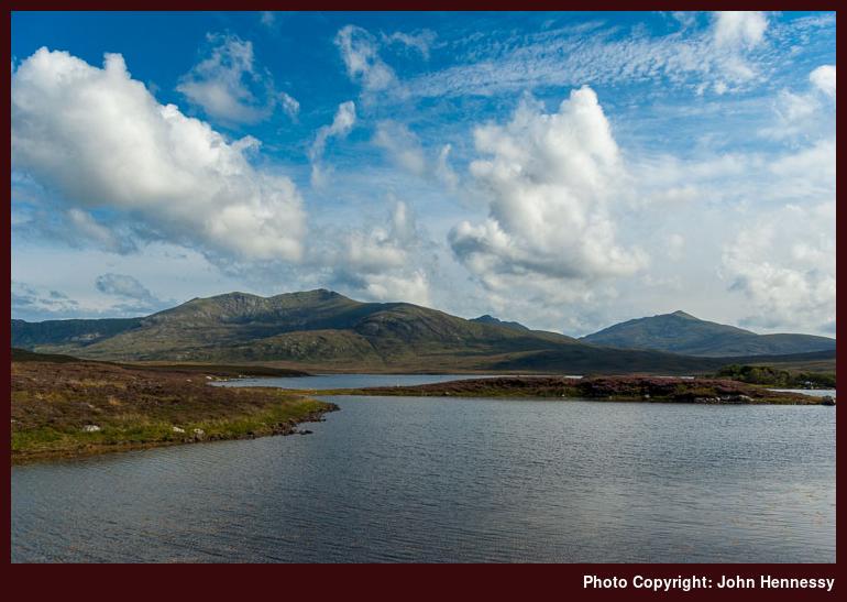
In fact, it was while I was wandering over those tussocks that the day was at its most leaden in appearance and dampest in feel, but things were set to improve. In fact, the hills were to be uncloaked, allowing for a spot of photographic activity. After my fill of rough country walking, I returned to the road again and followed it to its end, a very dilapidated pier, before retracing my steps through countryside that looked better than before. The route followed on my return wasn’t completely faithful to the outbound one: I followed an inviting track into the nature reserve. Soon, that became a peaty path that commanded concentration unless one was intent on blundering over heathery hummocks in a manner inconsistent with the retention of one’s dignity. It was still off-road walking and with good views over Loch Druidibeag too, all while I was being taken to Stahlaigearraidh (English: Stilligarry) without incident. From there, it was back to Lochboisdale with an evening stop in Dalabrog on the way.
A spot of island hopping Part 5: travelling from Harris to South Uist
2nd October 2008Thursday, August 14th:
Thursday morning began with sunny spells like the preceding days and I would have been forgiven for embarking on further explorations of Harris. After all, I had concentrated my efforts on that piece between Tarbert, Àird a’ Mhulaidh (English: Ardvourlie) and Miabhaig (English: Meavaig) and that’s only part of what’s there. However, the planned itinerary for my week of island hopping dictated that I was to leave for South Uist. Reaching my destination of Lochboisdale was to involve a ferry crossing and three coach rides and the wonderful weather remained with me all day.
It was also good weather for those following the circular CalMac tour from Uig. If I recall correctly, they would have been treating themselves to a ferry crossing to Tarbert, a bus connection to Leverburgh, another ferry crossing over the Sound of Harris, another bus connection to Lochmaddy followed by a return ferry crossing to Uig. Those bus connections weren’t coaches that were specially laid on but normal service buses which would have been running anyway. Even so, the coach conveying the folk on the tour from Tarbert to Leverburgh allowed stops near Harris’ famous beaches.
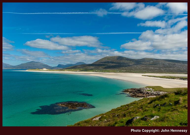
As it happened, the route of that tour overlapped with mine from Tarbert to Lochmaddy. I was especially appreciative of the stops made in South Harris because I got to capture views across beaches like Tràigh Losgaintir, Tràigh Seilebost and Tràigh Scarasta with my camera that I otherwise wouldn’t. The former looked especially enticing with the hills of Frith Losgaintir and beyond as a powerful backdrop to the obvious elements of sunlit sand, sky and sea. As if all of that wasn’t sufficient, there was the island of Taransay too. The countryside was flatter around Scarasta but Ceapabhal did break up the flat relief of Toe Head, adding a useful focal point.
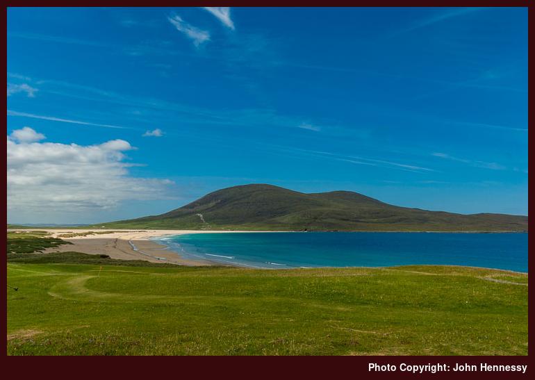
If I stayed with the coach all the way to Leverburgh’s pier, I would have been round by Rodel and glimpsed its notable church. However, I felt the need to for a longer break before catching the ferry and disembarked in Leverburgh to walk the rest of the way in place of the indirect bus journey. In Gaelic, Leverburgh is An tOb or the bay. The Anglicised name comes from the time when Lord Leverhulme owned this part of Harris and tried to set up a fishing port. Like so many big schemes in Scotland’s highlands and islands, the plans came to nought (a lesson for Alladale, perhaps?). Deterioration in Leverhulme’s financial affairs cannot have helped, but tidal conditions at Leverburgh didn’t make things any easier either.
That tidal disruption continues today and, when planning my escapade, I noticed that the Sound of Harris ferry suffered cancellations as a result. With that potential for disruption in mind, I decided to check on things before I left Tarbert and get my ferry ticket there too; otherwise, I would have needed to buy it on the ferry because there are no ticket sales facilities at Leverburgh (I think that it’s the same at Berneray). Luckily, tidal behaviour can be predicted these days, so my impression is any such disruption can be highlighted up to a week in advance, a very reassuring realisation. It wasn’t to play havoc with my travel plans though and the small vessel that was to convey me soon came into view while I was waiting at the slipway.
The Sound of Harris is dotted with islands and that may be pleasant for the island wanderer but it makes life more difficult for ship navigation, even if there are a good number of markers in place. The result was that the ferry follows a course that weaves its way through the various channels and takes an hour when straight line travel would be quicker. The crossing was a smooth one though there was enough movement in the waters to set off a car alarm periodically; CalMac recommends that you disable your car alarm because of this.
After a short wait at Berneray, it was onto another coach. This portion of land travel to Lochmaddy on North Uist was devoid of stops for the tour, a potential source of disappointment given that it went a little way around Berneray. My journey was broken for an hour in Lochmaddy before I continued south with the those on the tour having gone their way on a delayed ferry to Uig. The thirty-minute delay had been caused by a car accident on the mainland, on the A87 near Shiel Bridge. The ferry waited as long as it could for travellers but had to leave before the coach from Fort William could make it, a major source of disruption to anyone on that coach wanting to travel on the ferry. I suppose that it’s a lesson in the perils of travelling too far on the same day. Thankfully, my ferry crossing of the day had passed without any sort of incident and all that remained was trouble-free “land” travel from Lochmaddy to Lochboisdale.
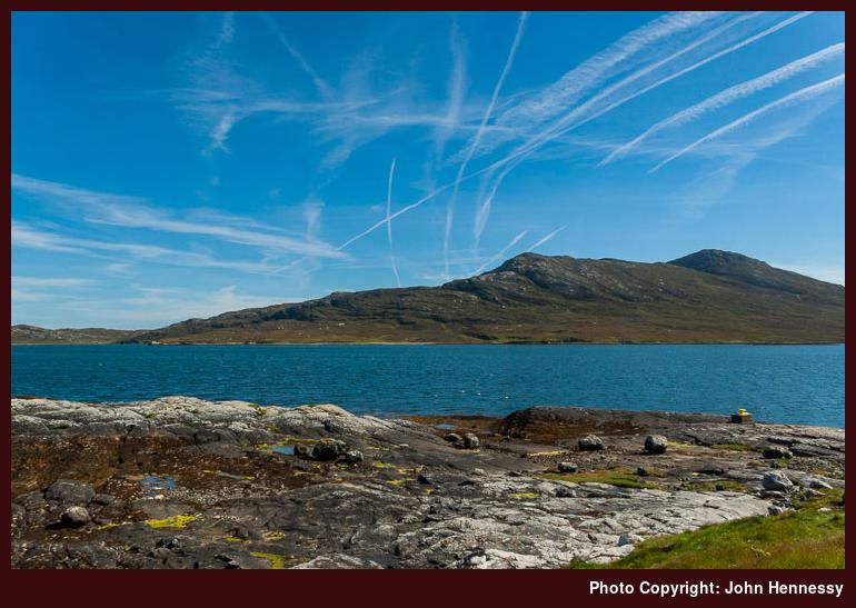
I was a world away from the disruption of the A87, and I began to sense the striking peace and quiet that seemed to typify the Uists for me. Even Harris seemed to possess more bustle and Skye having more again. Lochmaddy did nothing that changed that opinion of these islands’ atmosphere while I was there. It wouldn’t make a great place for a shopping trip but the vistas over the island-packed Loch nam Madadh and over towards humps like those of Lì a Tuath and Lì a Deas were well enlivened by the sunshine. Hills are lower and less common hereabouts, so there is a more open feel with big skies dominating the flatter landscape.
Soon enough, it was back to continuing my “land” travelling. There is a reason for my use of inverted commas here: this was interisland travel by coach, courtesy of the maintenance of a host of causeways. By the time that I reached Lochmaddy, I had already encountered one of them: that linking Berneray and North Uist. More were to follow as my journey took me to Grimsay, Benbecula and South Uist. Each was as undramatic as if they were built on the bed of a freshwater loch rather than that of the Atlantic.
A perhaps alternative reason for using those inverted commas might be that a glance at an OS map might lead one to conclude that water trumped over land in these parts. The near constant sight of land as my coach plied its way south from Lochmaddy contradicted such a perception. Though the landscape was flat in the main, hummocks like Eaval’s 347 m summit lay proud.
After the remote feel of North Uist, Benbecula looked more populous but it is also completely flat, so much so that it is devoid of good harbours and that necessitated the causeway connection to South Uist. It plays host to the Uists’ airport as well as an RAF base, something that helps on the population front. Baile a’ Mhanaich (English: Balivanich) with its proximity to both of these and its hospital would seem to be a major hub in the Uists, particularly for shopping.
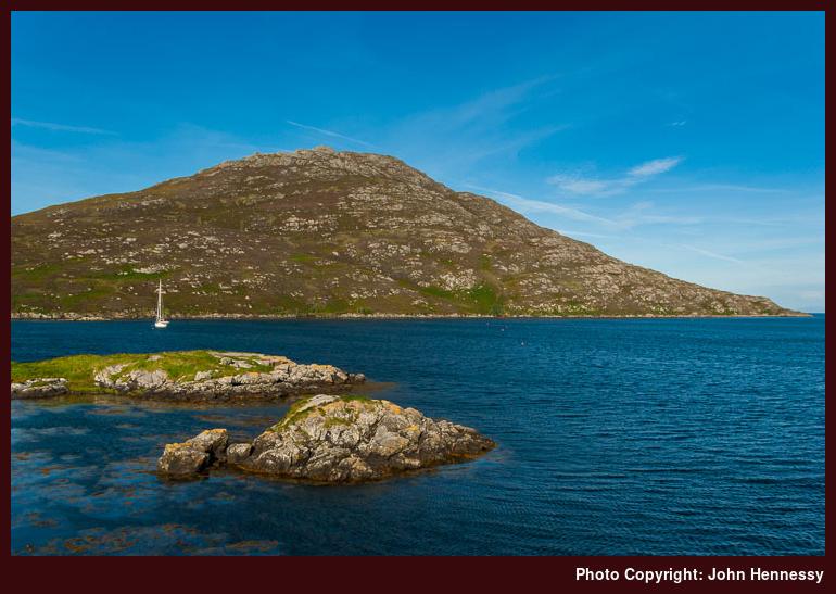
After Benbecula, it was on to South Uist. Like the other islands, it too features a landscape strewn with lochs and that was what typified my first sight of the island. However, hill country soon started to come into view and that is what draws the likes of me. After a change of coach in Tobha Mor (English: Howmore), I continued my journey to Lochboisdale. In contrast to the relative bustle of Harris, a more laid-back ambiance prevailed and bus drivers taking a few minutes to share the latest news did nothing to perturb it. When I reached it, Lochboisdale was as quiet as the coastal communities through which I had been journeying. After settling into my accommodation, I got something to eat and pottered out for a short evening stroll before retiring for the night. Further explorations of the island lay ahead of me, but the following day was to be the time for that; the amount of travelling that I had done from Harris was enough for one day.
A spot of island hopping Part 4: going deeper into Harris hill country
27th September 2008Wednesday, August 13th:
After spending a long and largely sunny weekend visiting folk in Éire (I did manage to get up to the top of a hill so that there might more on that later), it is time to pick up the next instalment of that Hebridean trip report. The start to that Wednesday was to be just as idyllic as the weather that we had been enjoying all week. Having had a good satisfying hike the day before meant that I was far from being in “rushing-about” mode. That walk hadn’t just allowed me to enjoy some wonderful countryside in good weather but it also planted in me an idea for another walk: Àird a’ Mhulaidh to Miabhaig and Ard Asaig (anglicised to Ardvourlie, Meavaig and Ardhasaig, respectively).
So, it was a case of embarking on another bus journey, this time taking me from Tarbert to Àird a’ Mhulaidh, and I was set to start my trek though the heart of some expansive hill country. In contrast to the clear blue skies over Tarbert, the hills near Àird a’ Mhulaidh had gone and accumulated nearly enough clouds to block out the sun for a goodly portion of the time. It is true to say that it get through at times but I had to leave the larger remnants of blue sky after me as I left Loch Shìphoirt (in English: Loch Seaforth); the sea loch in question remained well lit by the sun for as long as I had a view of it on looking behind me.
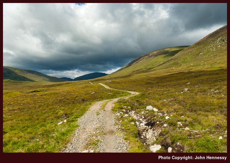
Conditions remained dry with the sun poking out to stop me in my tracks for a spot of photography and I had a good track underfoot all the way to Bealach na hUamha. The gradient was gentle too up to the bealach, but my legs were in for more testing action as I dropped down to ford Abhainn Langadail and climbed back out again, along the lower slopes of Stuabhal. After the bealach the track had by now become a path, but this was largely clear apart from a boggy stretch on the western banks of Abhainn Langadail. On the descent, there were ample opportunities to peer at Loch Langabhat (there are a few of these in the Western Isles, apparently) to the north and Harris’ hilly heartlands to the south.
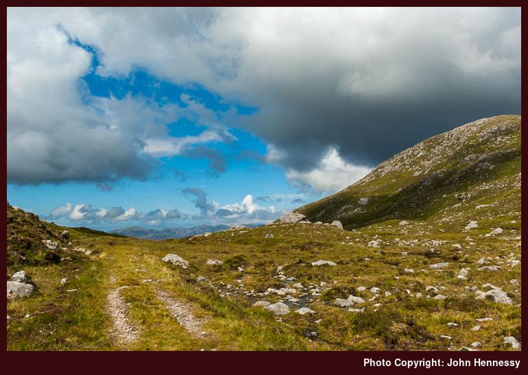
The sky grew steadily darker as I made my ascent to the saddle between Rapaire and Stuabhal, but things did brighten up again while I had a rest on that bealach. It afforded me one last glimpse of Loch Shìphoirt in the distance, which had been growing smaller all the way to Bealach na hUamha before I lost it on dropping into the glen for that river crossing. To the west, a myriad of rocky hills lay gleaming in bright sunshine. Stuabhal looked reachable from the saddle but I had enough on my plate and left it for another day.
After an ascent, it was time to descend again. Clouds hid the sun away while a certain dampness began to pervade the air as I made my way down to Loch Chleistir. Waterproofs were needed, but the rain wasn’t too unpleasant at all. It was only to be a light shower and I was to meet a few of those before I reached Miabhaig. From Loch Chleistir, I rounded Creag Chleisitir to drop into Gleann Stuladail to meet a vehicle track near Loch Bhoisimid where some folk were out fishing. A modicum of height was gained after I had past Lochan an Fheoir. The muggy atmosphere meant that my waterproofs remained off as much as possible and it was ideal for midges whose attentions meant that I kept moving as much as I could. The blunt nose of Sron Scourst loomed ahead and I was up by its flank and attendant loch soon enough.
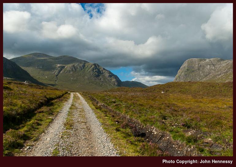
By now, I was well along Gleann Mhiabhaig and progress was being restrained. There was a good reason: the sun was out while the showers stayed away, so the ever widening vistas were made to look as well as they ought to appear. There was to be one last light rain shower before I got to the B887 and none disturbed me after that. In fact, the evening was to be of the type that keeps on drawing back me to Scotland time after time.
Once on tarmac again, I took a small break before setting off for Ard Asaig. I had it in mind to catch the last bus from there back to Tarbert, but that plan got scuppered by a certain tardiness induced by my surroundings. Rushing about on an idyllic evening like what I had would have been silly anyway; it’s so much better to take your time when everything is looking its best. My walk might have been longer but I wouldn’t have wanted to be indoors when things were as good as they were.
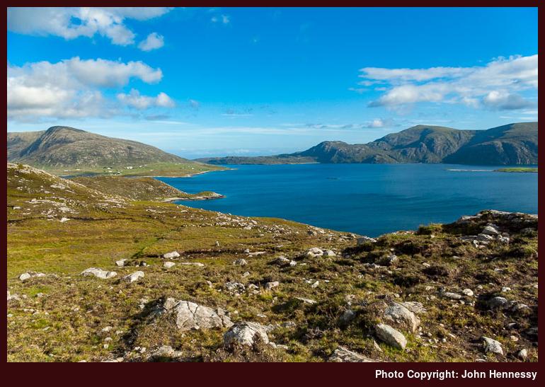
My trek didn’t take me past the collection of houses that is Miabhaig because I would have been needing to head towards Huisinis to pass them and it was a diversion that I was not unhappy not to make, even if it might have revealed new sights to me. In any event, I wasn’t to be disappointed by the views over Loch Mhiabhaig together with those, both along and across Loch a’ Siar (West Loch Tarbert to some), that I did see. They kept me entertained to the point that any displeasure from road walking was the last thing on my mind. I might have begun to tire on the final approach to Tarbert, but the fact that the evening wasn’t running out of steam easily kept me going until I reached where I was staying. I could have been forgiven for staying out a little longer than I did but I had my fill. Sometimes, it’s best to be grateful rather than greedy.