Pairs
17th December 2018Thinking back to a year ago when I was in the middle of a career break, I am struck by how much reading I was doing. There were two from Bruce Chatwin, In Patagonia and Songlines, and both gave me my fill of travelogue writings by the time that I got as far as January. Both contained a certain air of desolation that also came in its own way from Kev Reynold’s Abode of the Gods. It might have been a certain end of year feeling with the dull days of a passing December as much as what I was reading. After all, I found myself again detached from the mainstream flow of living much like I did when transitioning from university into the world of work.
The sense of desolation might have befallen my impressions of Tim Robinson’s Stones of Aran duology but for other distractions. Work has been among these as much as seasonal activities like sending cards and buying presents. Becoming engrossed in computer tinkering has been another factor and it certainly helped with speeding up this website. All of this delayed my completion of the aforementioned pair of books with their incompleteness of ending. The second was supposed to resolve a conundrum posed by the first but I get the impression that it may have proved to be a voyage of acceptance rather than resolution.
For all that, I now have moved onto the same author’s Connemara trilogy and there is extra life in its early pages. A quieter place like Aran has less documented history while most of the action is elsewhere so it is easy to find loose ends that never can be brought to a satisfying conclusion. For one thing, oral history can bring its own challenges with an intermingling of myth and actual events together with loss of memory as one generation hands over to another. Eve today, this remains an elemental place as I found when I was there last August.
Throughout all this recent activity, two visits have been made to the moorland around Hathersage, Grindleford and Sheffield. In fact, there is such an extensive path network that more may follow because of the possibilities that are offered. That thought popped into my mind during last Sunday’s hike from Grindleford into Sheffield during an interlude between spells of heavy rain. In truth, I should have been attending to seasonal matters but my enthusiasm for hill country got the better of me.
Anything that grants views of such sights as Padley Gorge and Higger Torr cannot be a bad thing and the area could be a fallback should all other forms of inspiration fail me. December was not much of a walking month for me in 2017 so I embarked on bus journeys that took me around mid-Wales and by the area that I walked last Sunday in their stead. It helps that collecting ideas is as good as making use of them and those from then led to one walk from Hathersage to Sheffield in November and another from Grindleford to Sheffield last Sunday. In turn, each of the duo could be the cause of return visits to the area and longer hours of daylight could allow more scope for any future explorations.
More ambling along the Goyt Valley
12th September 2018Sometimes, walking routes get reprised very close to each other and this pairing is one of those that, I thought, had been written up earlier but surveying what was posted on here already proves me wrong. It might be that because I have done some pairing of different walks in other trip reports, blending of memories has struck, so let us move along.
A pair of strolls along variations of what otherwise might have been the same route allow an opportunity to find some contrasts and so it is with these trots between Burbage and Whaley Bridge via the Goyt valley. Here is a list: wintery showers versus a taste of summer, midwinter versus the onset of spring, the end of a year versus the start of another and the end of one piece of business versus the onset of another. Each changed the character of my hikes as much as the deviations that I made the second time around so they hopefully will add a little something to their respective narratives.
2016-12-22
It is difficult to talk about starting a Christmas break when part of your working life has stopped and another is continuing to what feels like the bitter end. That was the conundrum that surrounded this walk, yet an offer of a half decent day was enough to draw me out of doors after a serene day spent among the Cumbrian fells. In truth, there was to be a lot of the same sensibility about this outing too and that was just as well given how my life was going at the time.
My arrival in Burbage was followed by some fumbling while I oriented myself but I was soon on the track by Burbage-edge Plantation. Height was gained steadily before a wintry shower of rain came my way to test my resolve. As if that were not enough. The wind was strong enough to obscure the words of a passing runner. Thankfully, this was to be the only such stormy weather episode of the day and dry sunny if chilly weather became my lot for the rest of the walk.
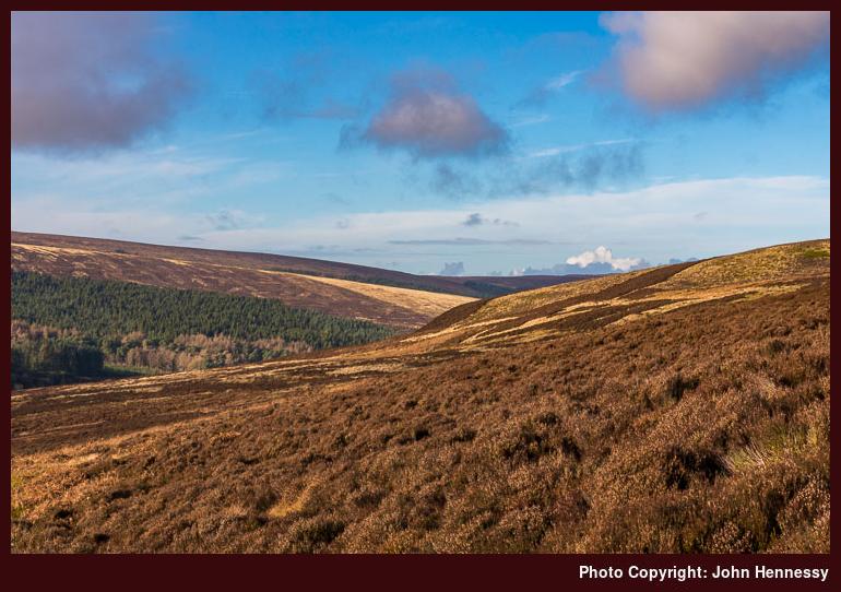
Skirting the aforementioned forestry plantation, I continued from Burbage Edge towards Berry Clough with opening views of my surroundings. Sunshine came and went, but my mind was allowed to wanderer but not so far that it interfered with navigation. The path remained clear and became even cleared as I followed the clough downhill. All the while, I also needed to keep an eye on my footing even on an agreeable gradient.
The end of the incline landed me near the waters of the River Goyt where there was a bridge on which I loitered a while before picking up a path in the belief that it might be the desired right of way. That did not prove to be the case but it mattered not a jot. Its boggy way led me across the well-named Goyt’s Moss towards Errwood Reservoir and around by the lower slopes of Wild Moor. The surroundings suggested otherwise, but Buxton only was a few miles away, but the emptiness was just what was needed to experience a much-needed soothing interlude of calm.
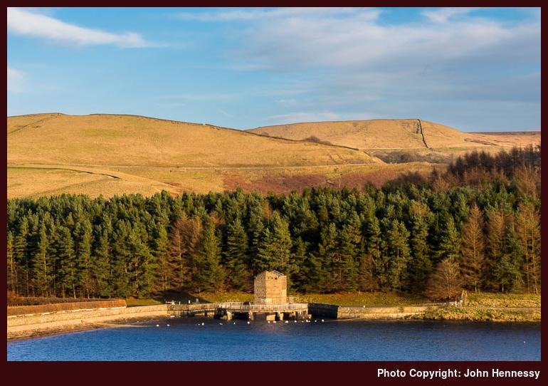
By then, the course was the same as one that had been followed before, so there was little need to consult a map and I wandered along tracks and paths until I reached the road that would drop me onto the dam at the end of Errwood Reservoir. Here, I was to linger awhile, especially on the other side before I continued on my way. The last spell of sunshine of the came and I left as clouds blocked it again.
Losing height gained me the shore of Fernilee Reservoir by which I was to process for a kilometre or two. It was not all level going either for I needed to gain some height on the way to the lane that crosses the reservoir dam. Any idea of continuing along the east back of the River Goyt was extinguished by the sight of signs warning of path closure due to work on an asbestos roof. The way by the west bank would suffice and it was on a good track too. Eventually, a way down to a bridge across the river was found so I could follow its east bank to reach Shallcross Wood where I would meet two equestrians coming the other way, though I questioned the wisdom of their following the track that they were using because of the tree cover.
Beyond the wood, the right of way lead me onto the A5004 that would carry me into the heart of Whaley Bridge where I would await the next bus back to Macclesfield. Arriving at the bus stop in plenty of time to do some shopping in a small place that was not too tiny to have a Big Issue seller plying his wares. Light was declining so I was glad to see the bus arrive. Its passage along the B5470 was to cause a missed phone call from my solicitor whose business would need to wait until the following morning.
The same applied to an auctioneer who made contact with me while I was out among the hills, but both matters were sorted quickly enough to close affairs for the year. If it was as easy as that to unwind in the time that was available, 2017 might have been different and life progresses as it does. Between Christmas and New Year, there were to be a few days spent in Mallorca that would have their own story to tell.
Though dampened by rain and having enough wind not to hear what someone else was saying, I persevered and dropped into the Goyt Valley. From Berry Clough onward, much of my route was a reprise of a walk undertaken in October 2013. As if to underline what recent years of tumult have done to my memory, the section along by Fernilee Reservoir had been a blur and I followed the River Goyt from its dam on the western side instead of the eastern one as I did before. Otherwise, there was reward in the form of some sunshine lighting up Errwood Reservoir. Nevertheless, another return is in order and one on a sunny day would be best, since I never have had much luck with the Goyt Valley when it comes to photography. It may mean getting muddy again, but that is a trifle when it gives returns like the ones I often get.
2017-03-25
What probably was the first sunny weekend of the year could not do other than lure me out of what felt like a rut. 2017 had started with a flu-like illness before enough was completed in Ireland to satisfy a two-year deadline. Then, my mind turned to sorting out a certain lack of energy and there was a reluctance to pursue more in the way of Irish works. These and what preceded them were blamed for my lethargy rather than signs that my day job was not what I hoped it would be. A spring sabbatical that began soon after this hike was not enough to deal with that so I ended up stepping into “oblivion”: leaving my job to start a career break that would allow for rest and a time for exploration that laid the foundations for how I work these days. Little did I know that quite a year lay ahead of me.
That sunny day in March, I had a decision to make: was it Burbage to Whaley Bridge again or a walk from Disley back to Macclesfield using part of the Gritstone Trail before using other rights of way beyond Bollington? Both options had me torn between but I chose the former for Saturday and the pull of the latter got me out again on Sunday. This was to become a walking weekend.
This time, there was no fumbling on arrival in Burbage, for I knew where I was going next. In any case, it was a release from a bus full of folk tempted out for the day by the predicted weather. From start to end, this was to be a day with plenty of sunshine and rising temperatures. Thankfully, that is how it turned out too.
After coming a little along the now familiar, I stopped a while to organise myself and took in such sights as Grinlow Tower and the busy A537 across the valley floor from me. If this sounds like the weather made it easier for me to look around, there might be some truth in that thought. The same benign conditions also made it easier to deviate from the December route as much as an earlier start and longer hours of daylight. It would have been even better a day later with the extra hour of daylight in the evening time added by the onset of Summer Time. Still, there was ample time on the last Saturday of Winter Time for my needs.
The first variation came soon enough with my not skirting the Burnage-edge Plantation as long as I did in December. Instead, I kept going straight along the track as if destined for Derbyshire Bridge. However, I still left it for the Goyt Valley and did that near its highest point too. The out of action Cat & Fiddle Inn lay before me, but my closest encounter was to be that aboard the bus that brought me from Macclesfield.
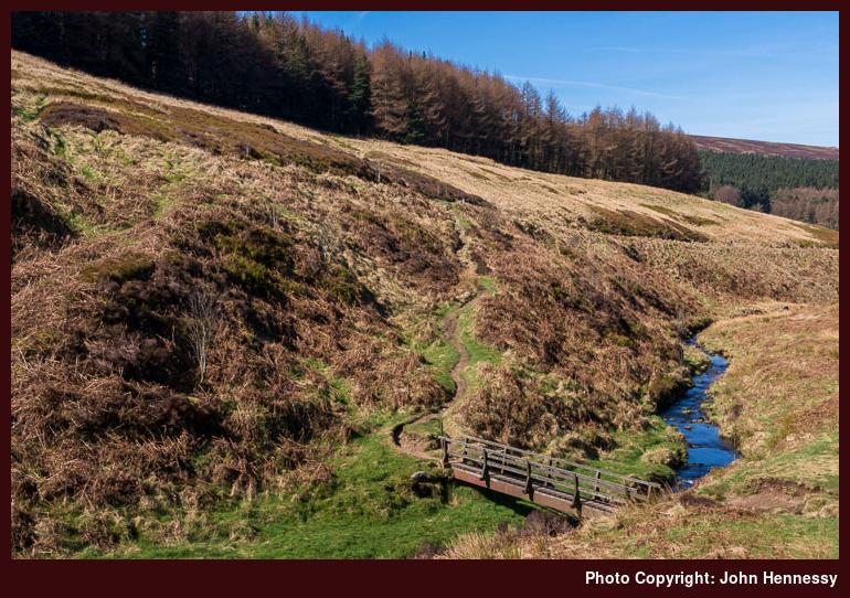
My thoughts though were on rejoining the path down to Berry Clough and there was plenty to see in the sunshine as I went on my way. Goyt’s Moss and Stake Side took up most of my field of view until I began to drop along the clough itself. In good time, the now familiar bridge over the River Goyt began to be seen and then reached. After a photography stop, I was on my way again.
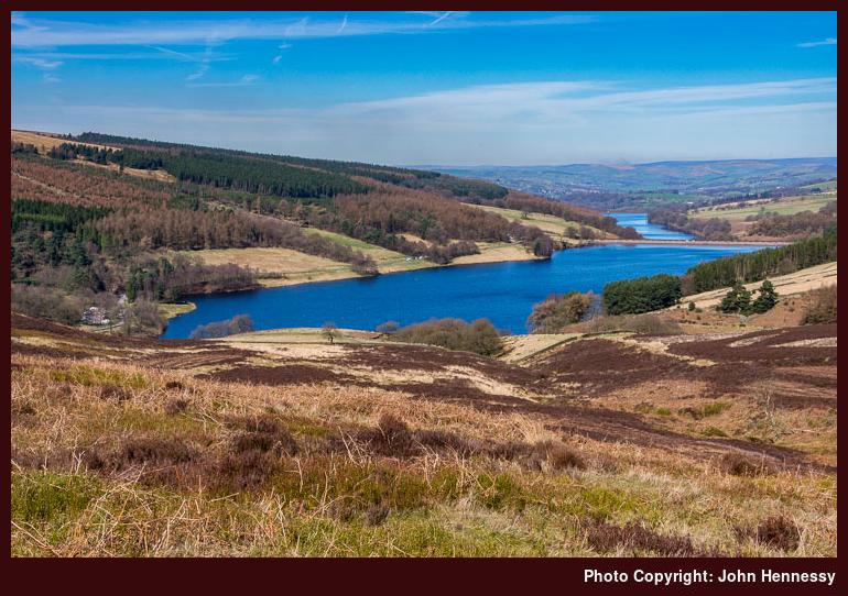
This time around, I ensured that I stayed as close to the line of my intended right of way as possible and got better views along the valley too. That there hardly were any marks on the ground from previous stragglers may have made it a more challenging task but it increased the chances of solitary wandering, something that I relish. In something of a freestyle fashion, I found the wall where I would turn right and use as a handrail for further navigation. A clough crossing added a descent and subsequent re-ascent before a more descenting descent followed. While I should have stayed near the wall, I veered away in the hope of more friendly gradients and the chance of a zigzag course. Since I was on Open Access Land, there was no need to stick rigorously to the route of a public footpath anyway.
The cause of that testing descent was another nameless clough and I returned to the wall to continue to one with a name: Wildmoorstone Brook. Crossing that and going uphill again brought me to a reservoir near Goyt’s Lane. While the road would take back towards Errwood Reservoir, I chose a byway in its place and that returned me to more familiar surroundings but I was to add another twist: a footpath going around Bunsal Cob that cut out even more road walking. The knoll itself was not left without further exploratory perambulations to extend the time spent there before continuing to the dam of Errwood Reservoir.
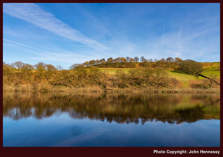
Leaving there, I spotted another path that followed the slope of the dam itself to give a more satisfying start to a stroll along by Fernilee Reservoir. This was the first time that I was doing that without sunshine fading on me or rain showers intruding. There was loitering about its reservoir as I checked if a previously encountered obstruction remained because of work on a building containing asbestos in its fabric. Since the obstacle allowed no further passage, I advised others as much and I retraced steps and followed the same course into Whaley Bridge as I did in December. It was just as unpeopled as I found it on other visits.
It can amaze how a brain records events for the signs of others out enjoying the day as much as I did hardly remain now. Another curiosity is that the exact details of how I got home have been lost too, but any journey would have involved a change in Stockport. Whether that was from bus to train or train to train is unclear now but both are plausible and it certainly was not a direct bus ride to Macclesfield like the previous encounter with the area. The important details persist and it is the ambience of the hike that can be reproduced most readily. Since that often is what draws me, it is just as well and any sense of recalled calm is a godsend when life proceeds along one of its rougher stretches.
Travel Arrangements
Bus Service 58 from Macclesfield to Burbage on both days. Bus service 60 from Whaley Bridge to Macclesfield after the December walk. Bus service 199 or train to Stockport followed by a train to Macclesfield after the March hike.
A day spent sauntering from dale to dale in many weathers
11th April 2018After the preceding post about walking from Tideswell to Hathersage during May 2016, this one leaps over several other walking trips and moves forward nearly twelve months into 2017 because of another saunter taken in the same area. That happened during an unpaid springtime sabbatical taken in an effort to rekindle my energy levels after a run of family bereavements and the need to deal with such an aftermath; my preferred method of recuperation was to be rest and relaxation.
Given that the five-week break in question happened in April and May, it should come as little surprise that there were some trips away from home. In fact, there were two getaways on successive weekends in spite of a matter in Ireland bringing its share of upset around this time. That happened after a pleasant long weekend spent on the Isle of Man and intruded on an Easter stay in Edinburgh for a spot of hill country exploration around Peebles.
For whatever reason, doubts entered my mind whether my spell away from work was going to be enough to achieve my desired aim. In hindsight, more than rest and recuperation was in order. The emotional heavy lifting of recent months is a reminder that I am moving towards the next stage of my working life. Learning to deal with unwanted intrusive thoughts and rethinking my career has been part of this, work that takes its share of time.
While I was seeking a way of (temporarily) dealing with what was weighing on my mind, there were some short trips away from home. Two took me to Manchester in search of maps, but others had more of an outdoor flavour. There was an evening visit to Buxton in bright sunshine where I got as far as Grinlow Tower and savoured the panoramic views that lay about the eminence while trying out a then newly acquired used Canon EOS 5D Mark II.
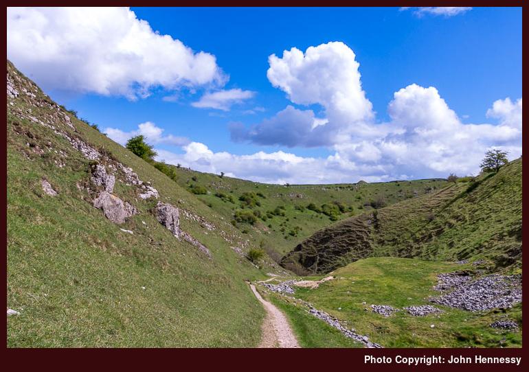
Another Derbyshire trip followed and that is the subject of this trip report. My starting point was Litton and my final destination for the day was Buxton. Given what was on my mind, I was seeking a quiet stroll but was amazed to see a large party of ramblers out for a walk when I was leaving Litton. Any sense of intrusion was assuaged somewhat by breaking cloud cover allowing some sunshine to light up Tansley Dale as I walked through it. By this stage, the rambling group was left behind me and I was keen to keep it that way.
Thankfully, their route either diverged from mine or I diverged from theirs as I followed the concessionary path along the floor of Cressbrook Dale. Until this point, I had been revisiting parts encountered the year before. My southbound lot this time around was to be passage through woodland under greying skies. A public footpath was joined before Ravenstonedale Cottages and I encountered some resting ladies asking where Tansley Dale was. Thinking back to the episode, my directions may have been terse but I hope that they sufficed.
After the cottages, I was following a byway before cutting out some distance using a public footpath and reaching the lane that would take me into Monsal Dale. Another rambling group was spotted about this point but I left them go on their way and stayed on the road until I spotted a right of way that would carry me across the River Wye to the Monsal Trail. Wintry weather had arrived while all this was happening so I stopped a while in a tunnel under the former railway alignment to see if the precipitation would pass; this also was a chance for a lunch stop.
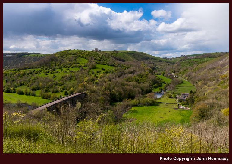
As with all of these things, it took a good while for the shower to leave and then for any sunshine to appear. When it finally did just that, I could not help loitering to see if I could make any photos. After all, this is a beauty that attracts many a day tripper, though I had it largely to myself at this time. A midweek visit coincident with wintry weather could have helped my cause.
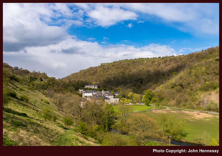
Throughout this dallying, I was making up my mind about what direction to take next. The choice was between heading towards Bakewell or going towards Buxton with possible exit points later in the walk. In the event, I chose the latter and the route was to take me past places that I had not seen since an afternoon in July 2001. Back then, all the railway tunnels were closed to us, so there were necessary diversions that made cycling the route an impossibility. Within the last decade, that has changed with lights turned on during daytime hours.
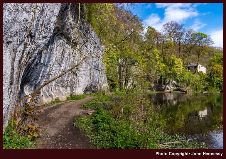
Still, I had reservations about spending large sections of my walk inside in tunnels and hardcore surfaces can give feet a batter so I dropped off the current trail to Cressbrook Mill where I picked up the concessionary path that I followed when I last went this way. That had the advantage that it went along by where the River Wye cuts its way through limestone-clad surroundings. The sun may have been playing hide and seek on me at this point but it did not matter and I largely had the place to myself as far as Litton Mill.
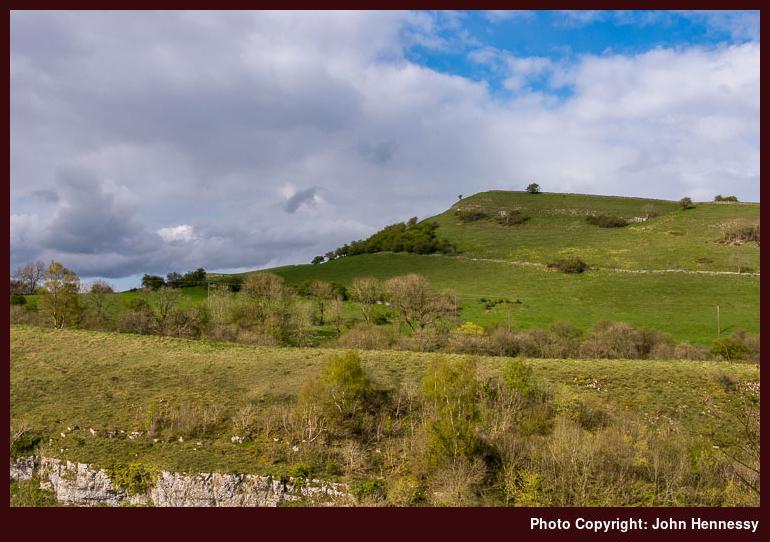
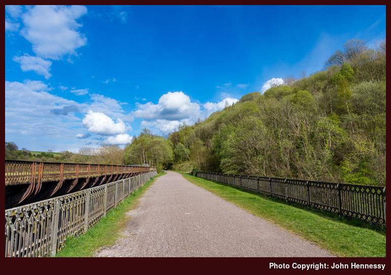
After that, I made my way back onto the Monsal Trail again and was noting nature reserve after nature reserve as I shortened the distance to Miller’s Dale station. There was a possibility of ending my walk there but I opted to continue on my way. It was to be a decision in favour of added adventure, especially when I again decided against tunnel travel though skies clouded after Miller’s Dale.
What I had chosen to do is to drop down to the River Wye to try my look along steps and stepping stones made of limestone. This is a slippery rock when wet, so resulting thoughts meant that I took extra care on any descents. All of this slowed progress a little, though the rock did not deter climbing enthusiasts as found when I encountered a group with a seemingly nonchalant member who apparently did not want to notice my presence. One of the others did apologise so that eased any sense of irritation as I continued on my way. It helped that there were pleasant stretches in between those other more testing sections.
For some reason lost to me now, I decided against rejoining the Monsal Trail in favouring of staying by the riverside and continuing through the narrow Chee Dale; maybe, it looked less testing and avoided some ascent. Wye Dale took a while to reach and that brought the end of the Monsal Trail itself because a still active freight railway and the presiding topography prevents any continuation. Taking me to the A6 was a narrow access road that passed under several railway viaducts, necessitating care in case of on oncoming vehicle. My journey had gone under a few of these and there were a few more to pass in hope of catching a bus.
Seeing the last bus to Buxton for the day pass before I got to use it was not a source of annoyance, though. Having to extend the walk all the way to Buxton was no source of tribulation. Crossing the A6, I picked up a public footpath that rounded Topley Pike Quarry with all of its warnings of quicksand. Entering Deep Dale got me away from any proximity to such industrial facilities and a feeling of entering pleasingly more rural surroundings again.
While on the lookout for the Midshires Way that would lead me to Buxton, I encountered a group of tired teenagers and one asked me where they were on the map. Then, as much as now, I wondered if they of Duke of Edinburgh challengers. If so, it might have been better if I did not point out their location but I suppose that you can be too officious about these things. In any case, I climbed the side of Deep Dale to commence crossings of fields as I passed King Sterndale and passed through Cowdale and Staden. As I did so, another quarry lurked almost unseen, but that was quickly passed with reaching Buxton uppermost in my mind.
At Staden, I passed a lady trying to coax a horse into its stable for the night. Knowing that strangers can disrupt such things, I did not delay and made my way towards and past a caravan park before going under the freight railway leading to Hindlow Quarry. The A515 was near at hand and I was soon to reach it and drop downhill into Buxton where some refreshments were sought before starting my way home. The day had been satisfying and was just the sort of momentary escape from more weighty matters that I needed.
Travel Arrangements
Outbound bus journey from Macclesfield to Litton with a change in Buxton, followed by return train journey from Buxton to Macclesfield with a change in Stockport.
A much needed walk from Tideswell to Hathersage
6th March 2018It is amazing what lingers in your memory and what gets lost. In the case of 2016, it has been how heavily life weighed on me. Pleasant escapades such as a January afternoon stroll along by the Macclesfield Canal or its equivalents during February, a day spent around Tatton Park and a weekend spent in Stirling, and an April weekend in London somehow become lost to recollection. It is as someone erected a barrier that only a photographic archive can dismantle.
It also might have been that times were different before the global political upheavals of 2016 revealed themselves. Thus, life might have been less loaded with such consequent concerns. What also lay ahead was the full extent of the ongoing legal works pertaining to my late father’s estate that I was to blame for leaving me feeling exhausted. There was another factor that became more obvious later: what I saw as my day job.
A new role was not going as I would have liked. The hoped for transition was disrupted by unexpected occurrences like invites to senior management meetings and a colleague at work taking over part of my brief without asking me beforehand. This was the poor start from which I hardly would recover and people I knew were to leave the company too, including my own manager. The unsuitable situation eventually would lead to my leaving the company myself in 2017 to take a lengthy career break. It only is now that I am contemplating the next steps in my career in light of changed circumstances after an inheritance that brings its own continuing responsibilities.
In light of all this, it may come as little surprise that my outdoors wanderings became less frequent over the course of the year. The effect was there to see around Easter 2016 though with only an Easter Monday afternoon trip to Tideswell and nearby Litton. The weather might have had something to do with it too, since there were many clouds around during that circular stroll. A subsequent bus ride to Sheffield took me by places like Foolow and Eyam that I was to visit within a month. Earlier in the year, there had been a journey to Chesterfield that took me by those places too and there was an ongoing consultation about the future of Derbyshire’s subsidised bus services that thankfully ended with most of them retained.
Returning to that Sunday in May 2016, my objective had been to follow part of the White to Dark Way after a fashion between Tideswell and Hathersage. Because of the mixture of weather that accompanied the preceding Easter Monday encounter with Tideswell, I fancied seeing it again. Handily, I had the right day for doing just that.
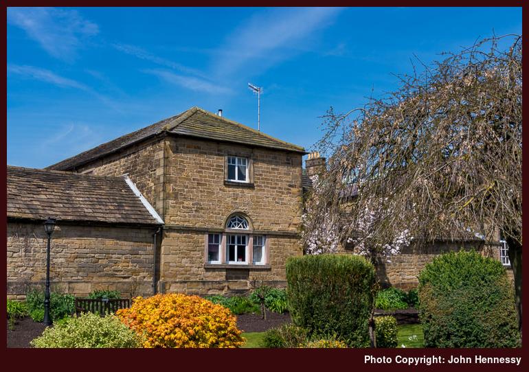
Unusually for me, I took a roundabout way to get to Tideswell. The main cause was the Sunday bus network in Cheshire and Derbyshire that forced a journey via Bakewell. Having some time between buses meant that I could relish the way that the sun fell upon a pretty place. That was not all since I was to pass Monsal Head and see down the throat of Cressbrook Dale. The latter sighting was set to alter my walking route after I saw it. The mix of a narrow green valley having steep sides studded with limestone outcrops is one that I find hard to resist.
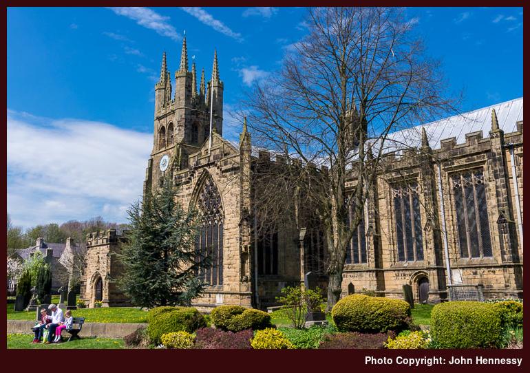
In fact, I could have avoided Tideswell if it had not taken my fancy because the bus passed through the village of Litton where I could have alighted. Tideswell’s allure held and I spent a spot of time there before returning to Litton on foot via a quiet lane. The sunshine was to hold all day, so there was little need to focus on a single objective. There was plenty of time to savour more than one and many would present themselves.
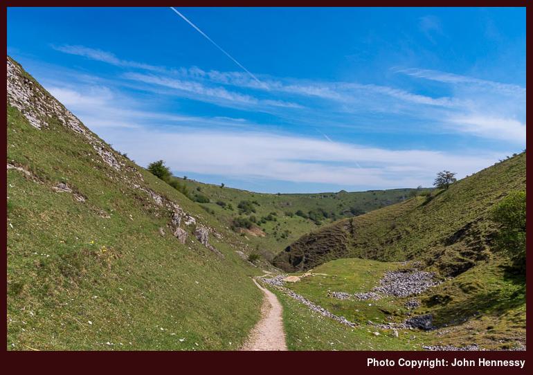
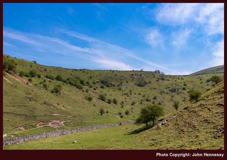
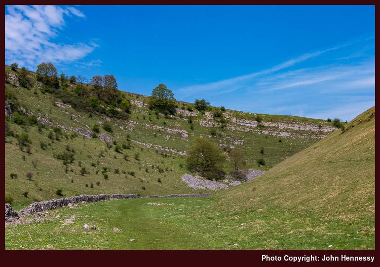
The stroll from Tideswell to Litton reprised that followed on the preceding Easter Monday visit. There may be a nagging doubt that I did not follow Church Lane all the way but I now reckon that I must have done in spite of a fading recollection. What is not lost to memory is what I did next. The White to Dark Way continues along Mires Lane for a while but I wanted to savour both Tansley Dale and Cressbrook Dale after what I saw from the bus so I went around by those. Though clouds blocked sunshine at times, surrounding visions were heavenly as I continued down Tansley Dale and then northbound along Cressbrook Dale; April 2017 would see me go south along the latter of these. For a sunny Sunday, everywhere was strangely unpeopled and any sign of humanity was to thin out more as I went on my way. For a spot of undistracted mellowing of mind, this was just what was needed.
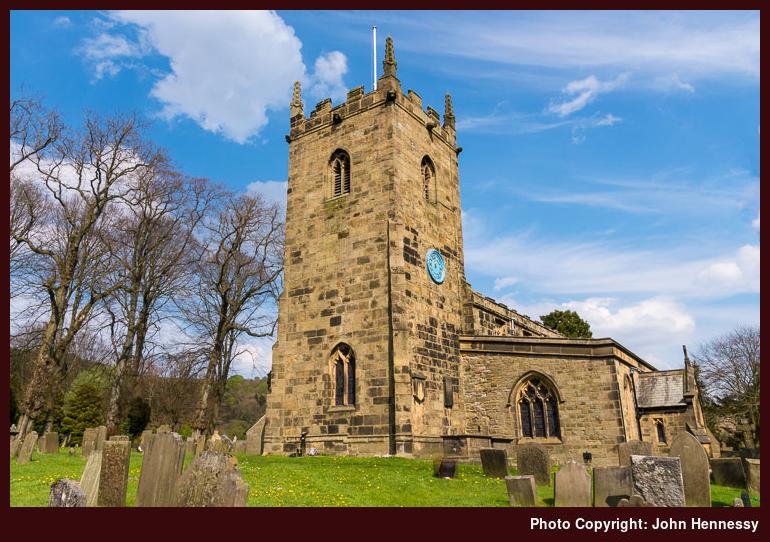
At the northern end of Cressbrook Dale, I met again with the A623 again near Wardlow Mires. This is where I spotted the enticing sight along the dale from the bus taking me from Bakewell to Tideswell. After passing through a farmyard, crossings of multiple fields were my lot as I passed Stanley House and Silly Dale on my way to the village of Foolow. The names may arouse predictable thoughts in anyone with a command of English but they did nothing to stop me pausing in Foolow to partake of some refreshment before more field crossings conveyed me to Eyam where I again stopped for a while.
The reason this time was different for this is a pretty place famed for what happened here during the Black Death when the Bubonic Plague visited by way of cloth bought in from London. The whole unhappy episode has not been forgotten as you will find if you pay the village a visit of your own; it acts as a reminder that life can bring bigger problems, something that can keep life’s challenges in their proper perspective. Other folk had gathered around the village in the sunshine and I indulged in an ice cream before continuing on my way.
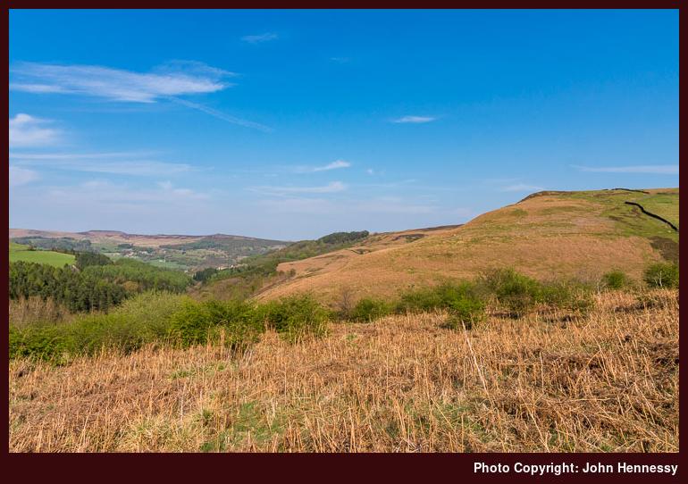
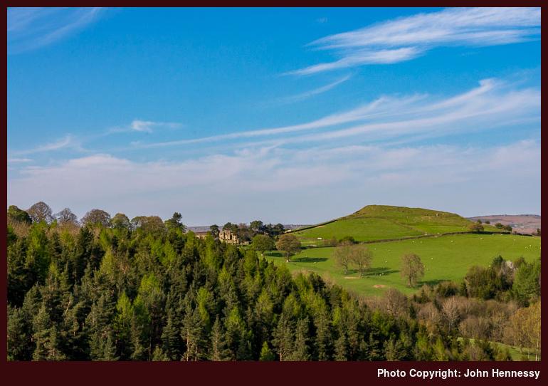
If the accumulation of humanity around Eyam had been intrusive, there was a cure at hand in the form of a steep sweaty ascent. Such things are adept at dissuading any such throngs from dispersion throughout the countryside. In the event, there was no such feeling of crowding after the largely solo traipsing that had been my lot until then. There was more to follow on the way to Hathersage train station. Late afternoon sunshine delighted as I went around by Highcliffe, Bole Hill (two of these are marked on OS maps), Sir William Hill, Eyam Moor and Highlow Bank. Peculiar names continued to accompany my saunter and High Low actually would mean “High Mound” rather than the tautological curiosity that it suggests.
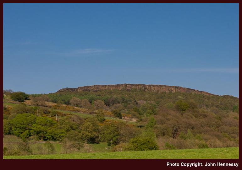
After losing height, I reached Highlow Brook and saw some folk pottering along tracks but I left them after me to continue towards Hazelford where I again reached tarmac. As I did so, some muddy conditions were encountered in woodland prior to some more field crossings. Once on a metalled lane, my mind was focussed on reaching the train station to avoid a lengthy wait for the next train to Manchester. Thus, I was happy to reach the B6001 that would convey me to my destination. Leadmill and a bridge over the River Derwent acted as indicators of progress as I strode along, willing the sight of a railway bridge to appear sooner rather than later. The sun remained and the required sight rewarded my patience. Others were found waiting too, so a train was due and I had not so long until I was on my way back home again.
It was the start of a run of walking excursions that continued throughout that May. The following evening saw me head out around Tegg’s Nose Country Park near Macclesfield. An added impetus for that may have been my getting a late night phone call about some events in Ireland that affected my affairs over there. That intrusion may have been unwanted but the incident itself was a passing one that so far has seen no repeat. Nowadays, it scarcely registers in my emotional memory; time really can heal when given a chance to do so.
Travel Arrangements
Bus journey from Macclesfield to Tideswell with a change at Bakewell. Train journey from Hathersage to Macclesfield with a change at Manchester Piccadilly.
A trot over Kinder Scout
30th January 2018Last autumn, I got my hill wandering enthusiasm back and there were several trips to the Dark Peak around the Hope Valley (a tautological eccentricity if you know what Hope means in Old English, but that’s what people call the place these days), Ladybower Reservoir and Stanage Edge. Other possibilities remain in mind and the Longshaw Estate may feature yet, while there even is a thought of walking from Hathersage to Sheffield brewing. Though other walking destinations tempt me, this is a part of the world with which I have not finished yet. After all, I have not been around Kinder Scout since September 2015 in spite of a direct bus route linking Macclesfield and Hayfield. My last hike around there is the subject of this account.
The route that I followed was not so dissimilar to that which I followed in April 2013, but there were differences too and there are times when you get to pondering things like that. Aside from the deviation over the top of Kinder Scout, there were other contrasts such as the time of year and my personal situation. Winter 2012/3 continued late into the year, so there were banks of snow still lying in April for me to cross. September 2015 still had its hangover from the preceding season as often happens in that month, for my walk took me out on a warm sunny Sunday, not untypical of a summer’s day apart from the more restricted hours of daylight.
Both hikes enjoyed bright sunlight and there was a difference in my mood too. Both 2013 and 2015 were marked by family bereavements but my reaction to these differed. The first left me feeling raw inside and unsure of the future, while the second offered a sense of release before the bulk of the legal work of inheritance got going. 2016 proved to be both busy and tiring while 2017 was spent dealing with the aftermath of this and the reality of a day job that felt less fulfilling and less enjoyable than I would have liked. Those developments lay ahead of me, so there was energy to use for happier things after a few months that saw me enjoy trips to Iceland and Switzerland. Work then was more suited to that sort of thing, a thought to retain for 2018.
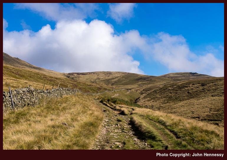
After an arrival in Hayfield under blue skies, I set off to pick up part of the Pennine Bridleway. The kind weather understandably had drawn out others and I was keen to have my own sense of space as I always do. Getting away from the village helped with that, as did leaving the long-distance trail for a track leading through Coldwell Clough and Oakwell Clough. All the while, height was gained and the views opened out more and more. The location was familiar and the sights a little new.
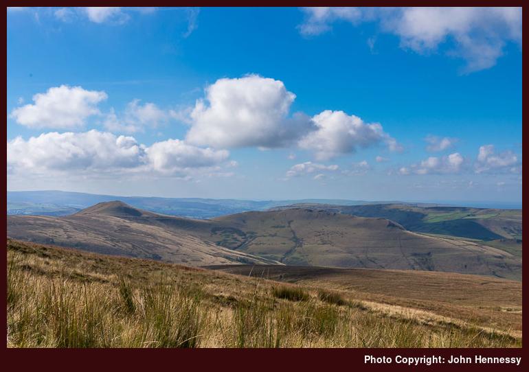
Even with the additional height, it felt as if I was in a pocket of wilder countryside away from more human influenced parts. Even looking west and south did nothing to dispel such a notion. Such eminences as South Head and Mount Famine lay about me to catch my eye. What I really need to do is trot those aforementioned hillocks so that could be enough motivation for a return journey sometime.
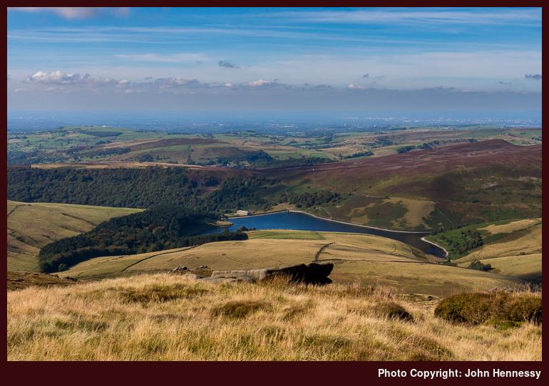
In common with the previous encounter with these parts, views of Kinder Reservoir were to feature and I was to see plenty. This time around, it would be overhead views rather a crossing over the reservoir dam with attendant viewpoints on approach and departure. The west-facing vantage point of Kinder Scout that I used was to do nothing to obstruct photography, so the challenge was to stop myself making too many photos.
The experience was reminiscent of another autumnal walk that took me this way while I still pursued film photography. If I recall correctly, I may have started from Edale before using a similar route over Kinder Scout and onto Glossop. However, the photographic results were not what I hoped, so a return visit remained a possibility. Trying again with the added control of digital photography over the printing of negative film by a processing lab was another impetus. So long as you have confidence in your own competence, and others like what you create, controlling things from start to finish cannot be beaten.
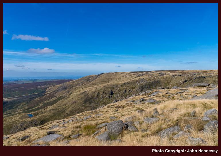
Compared with 2013, I tried to avoid any early height loss that would add to what needed to be regained. All views of Kinder Reservoir needed no descent like that preceding hike and I even chose secondary paths for getting from Edale Cross to Kinder Scout. That made me need to trust my map reading and all the signs were that I was on the right track. With so many paths going here and there, you need to hike your own hike and route find as you see fit.
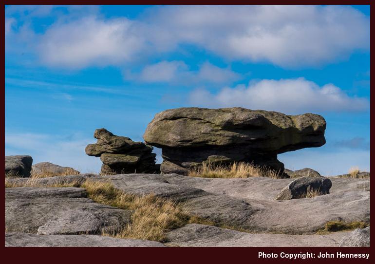
Such is the route of the Pennine Way nowadays that following the western edge of the plateau offers enough guidance unless visibility is really poor. Previously, the trail went straight across the moor so your map and compass navigation skills had to be up to scratch; rough terrain ensured its redirection because of its infamy. The sight of Kinder Low’s trig point adds reassurance too so I carried on happily towards Kinder Downfall, a relative trickle after the summer months. Beyond that, I continued along the plateau edge until I found the way off, a steep descent that needed some care and I also needed to be alert to the passage of others. All the while, folk were pottering about, but that was the change once I got down to Mill Hill.
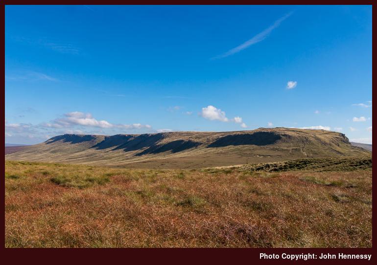
The clear track off Kinder Scout adds a dogleg to the route of the Pennine Way so I needed to follow it east to get to the Snake Road (A57). What I also had forgotten was how passing over Glead Hill added height and obscured views of Kinder Scout once I was past it. The lack of folk made me wonder what routes around Kinder Scout people tend to take for not many continue to Glossop. Progress over the paved pathway was steady but it still meant that it took longer to reach the road than expected, something that appears to happen to me a lot on this stretch.
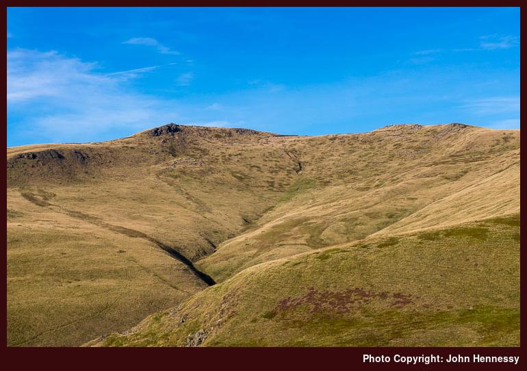
Once across the A57, it was the left turn for the Doctor’s Gate footpath that I sought. After following gravel tracks, peaty paths and paved walkways, this was to bring over rougher ground. If there ever is a “Fix the Moors” footpath project in the Peak District akin to the Lake District’s Fix the Fells, this would be a candidate for attention. Quite how this keeps its bridleway status never ceases to amaze me for I would not bring a horse down there. Still, there are pleasing views to be enjoyed whenever you can stop, for doing otherwise before crossing Shelf Brook could cause an unwanted tumble.
There was an added obstruction too in the form of a missing bridge; storms had washed away the pre-existing wooden one. In fact, there was a sign advising that the trail was closed because of this but I decided to chance it anyway because I reckoned that I could resort to a stream crossing if necessary. Whether you decide this adventurous act was courageous, foolish or just plain contrary, I will leave to you. In fact, it turned out that the descent took up most of the ardour with some naughty deviations for the sake of added safety. The reward for all that was a fording point accompanied by a rope slung between two posts.
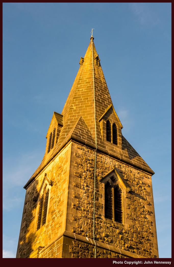
After that last obstacle, gaining more height took me away from the sodden surroundings of the clough and a little patience on this stretch was rewarded by reaching a good track near Mossy Lea Farm with plenty of daylight left. Though my legs were tiring, the rest of the way would easier with time to survey the surroundings in the late afternoon sunshine. The walking surface was again easy to stroll, and the way embedded in memory from numerous hikes since my first encounter here around Easter 2002. Reaching the familiar streets of Glossop added more encouragement and I arrived at its train station with time to spare before my journey home could begin.
Travel Arrangements
Bus service 58 from Macclesfield followed by bus service 61 from Buxton to Hayfield. Train journey from Glossop to Macclesfield with a change at Manchester Piccadilly.