Category: Long Distance Trails
Revisiting ruggedness on the way from Hayfield to Edale
 26th September 2024
 A previous posting on here mentioned the elongated break that I took from work during the summer of 2020. It also collated three longer hikes that took me through hills that line the boundary between Cheshire and Derbyshire. Perhaps wisely, for the sake of not overdoing the length of the piece, I omitted a hike that me over Kinder Scout that came the day after walking from Disley to Macclesfield. Yet, there is a slight link in that the bus conveying me from Macclesfield to Hayfield also passed through Whaley Bridge, possibly sowing the seeds for later hikes from there back to Macclesfield.
However, the Kinder Scout escapade had a few distinctions of its own. Firstly, this was the first hike since the onset of the pandemic that did not end with my walking or cycling back home. Another point was that it no longer felt feasible to use a 50 litre rucksack for day hikes. My attempts to make things less blatant than this attracted some amused comments from a passer-by, so I went and got a smaller Lowe Alpine item from The Climber Shop. Apart from a weekend ascent of Helvellyn and subsequent wandering near Callander and Stirling, and the trip to Paris in May of this year, the smaller Low Alpine pack has become my mainstay on countryside incursions.
By the time that I got on the receiving end of those remarks regarding how I was equipping myself, I already had got as far as the trail going along White Brow to the north of Kinder Reservoir. Recollections of the way there have needed to be rekindled from my memory banks, but the image of my leaving Hayfield village under grey skies and following a largely quiet section of the Pennine Bridleway has returned to me. The lack of activity around the campsite that I passed after leaving that trail is another fragment that helps top rebuild my route in my mind. Because of the lack of sun, photos were made infrequently, possibly because of how familiar the area is to me.
After Bowden Bridge, recall is again vague. However, just going along Kinder Road seems unlikely. Thus, the course more likely passed Hill Houses, The Cote, Booth and Farlands. There is another image from under grey skies that takes me around by Tunstead House and not far from Tunstead Clough Farm before reaching the others. That feels stronger than mere confabulation as I write these words, so I am going with that.
It would mean a crossing of the River Kinder beneath the reservoir dam that resonates with me because of the onward route to the flank of White Brow. From there, things become more memorable again, and there are photos to help too. This may have been familiar ground to me, but the novelty was not lost, either. After crossing Nab Brow, there was the matter of powering my way up through William Clough. My light load may have helped with this, making someone else comment on how well I was going.
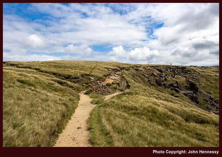
Beyond William Clough, I met up with the Pennine Way. That was going to convey me to the top of Kinder Scout and around by its western edge. After the initial short pull up steeper inclines, it struck me that most of the ascent was on gentler gradients. That initial steepness was over quickly, much to my surprise; William Clough felt much more rugged in comparison. There were others about at this stage, yet the place felt none too crowded, and skies broke overhead to allow the sun to do its uplifting work on a tapestry of hardy grasses and wind-sculpted rocks.
Near Kinder Downfall, there was the option of following the old course of the Pennine Way towards Grindsbrook Clough, perhaps avoiding many of the people that I was to pass later in the day. The horror stories from bygone crossings and my lightweight state meant that I stayed within view of Kinder Reservoir instead.
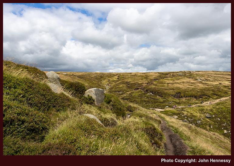
As I grew closer to Edale Cross, it struck me that this was not going to feel like a quiet Monday around there. If I had designs, on following the Pennine Way down to Edale, they were scotched in favour of what I hoped to be quieter informal paths. As with many things with 2020, old experiences became poor predictors of then contemporary behaviour. Thus, I had to share the place with more people than I felt was ideal. It was a matter of making the best of it, and relishing any quieter stretches as I passed Edale Head, Pym Chair and Crowden Tower, some of these being part of nature's gallery of rocky outcrops. Each formation seemed to tell a tale of millennia, weathered yet unyielding.
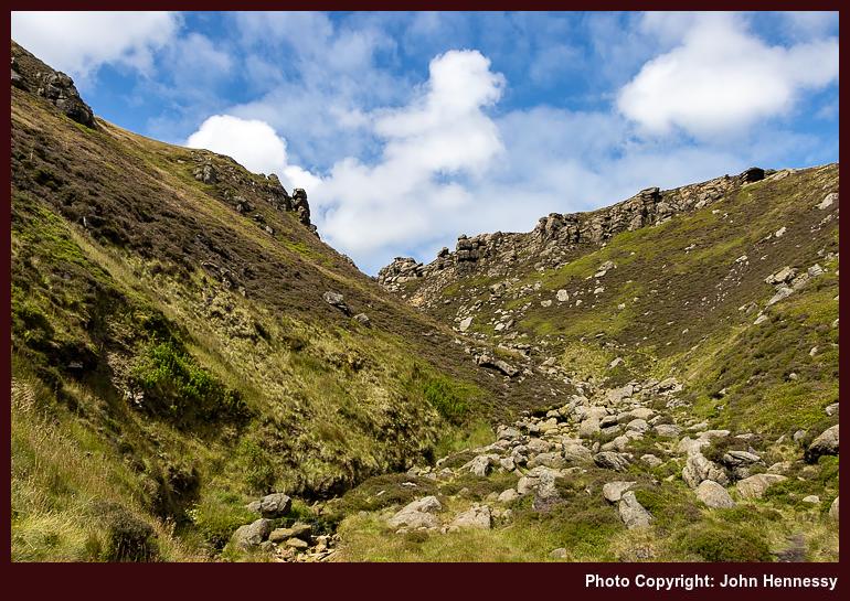
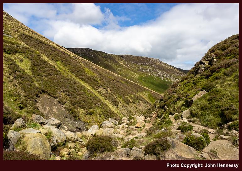
In some ways, the descent into Grindsbrook Clough was a wise choice; it thinned out the encounters with others to near nothing. The steepness of the initial stretches only would have helped to ensure that. This was light scrambling, with plenty of occasions for getting hands on intimacy with the gritstone slabs. Even with an abundance of cool, unyielding stone, keeping three points of contact hereabouts is a frequent necessity. It staggers me to think that the Pennine Way once went this way; there is plenty to remind one of nature's raw beauty and the respect it commands.
Patient resolve was rewarded when the gradients eased. The skies were again packing with cloud cover, which would have foiled any ambition to improve on photos made in August 2001, if there even was one at that moment. Having a pleasant path to follow on the way to more bucolic surroundings was enough for me that afternoon.
Edale felt tranquil with less around it than I found on the edges of Kinder Scout; it prompts the question as to where they came from, but a rural car park or two might explain that. A quirk in the train timetable meant that I spent longer around the place than I was expecting. This proved to be a refuelling opportunity using some refreshments purchased from a kiosk near the train station.
While the day may have been cloudy much of the time, there was uplifting sunshine in the middle of the hike. This also was when I met more people, a discomfort in times of pandemic. Nevertheless, there were moments of treasured, sublime solitude too. These were steps, not just through a majestic and treasured landscape, but part of a journey through an ongoing global upheaval. Despite all the surrounding drama, there remains that ineffable something that calls us all to wander. Few things, it seems, can stop that.
Travel Arrangements
Bus service 60 from Macclesfield to Hayfield. Rail journey from Edale to Macclesfield with a change at Manchester Piccadilly
Hikes that took me back home through some Cheshire and Derbyshire hill country
24th September 2024 The trouble with recounting tales of local hikes is that the locations often are too familiar; they lose their novelty with frequent encounters. That applies even with the backdrop of a pandemic, so I am bundling these three hikes from the summer of 2020. Each is different in its own way, yet there is a connecting thread linking them all. After all, my traipsing through the countryside hardly ever is just exercise, since any tranquillity is sought, relished and savoured as I go. Quietude was prized whenever it came.
Initiating a Longer Break
Given the effect that all the upheaval and disruption was having on my mental health, I decided on a three-week staycation that flowed from July into August, much longer than I normally do. Even with never straying far from home, it was to help a lot. Even so, there were more than a few day trips.
Some were less consequential, at least from the point of view of an outdoors blog like this one. Visits to Rostherne, Knutsford, Tatton Park, Buxton and Sheffield (even if I did wander its parks, encountering its Cholera Monument, a stark resonance that summer) are not the kind of things that are related here. There is too little to say about short encounters that often involve revisiting the familiar, even if they had their uses at the time.
The same might be said for a visit to Lyme Park, but for one thing: it was en route during a hike from Disley back home to Macclesfield. This also was my second journey since the start of the pandemic and involved a change at Stockport; courage was increasing with added experience.
While the arrival in Disley was delayed, that is something that matters less when you are walking all the way home when there are long hours of daylight. Picking up the Gritstone Trail near the train station, I started on my way. Going through Lyme Park was another act of increasing courage. However, I avoided its front gate to go in and out of the back ones. That was the way that the trail went anyway, though there is a route alternative if I had wanted to avoid the busier stretch passing Lyme Hall.

Beyond that, things became quieter again. The terrain was familiar to me as I went up and over Sponds Hill. That perhaps was just as well, when so much else was peculiar at the time. The illusion of an unchanging countryside added a badly needed fulcrum and was as important as the feeling of freedom and solitude that was being gained. The church tower at Pott Shrigley could be glimpsed from a distance, while the same happened with Bollington. That was not a halting point, especially with there being no Sunday bus service and how it drew many out from Macclesfield that spring and summer.

To skirt Rainow, I left the Gritstone Trail to follow Oakenbank Lane, another discovery from earlier in the year, the Friday immediately preceding the Spring Bank Holiday weekend in fact. This hike may not have been as unpeopled as the photos show, yet there was every chance that decreasing restrictions allowed people to spread out to leave more space for each other. Nothing everything had opened, but there were more possibilities than there were a few weeks or months before.

Passing Ginclough brought me to a way leading to Lamaload Reservoir that was another discovery from prior sorties into nearby countryside, especially a circuit starting from and ending at home that took in Shining Tor. Everything might have been close to home, yet there were new places traipsed as well. The way from Lamaload Reservoir to Walker Barn may have been another of these paths that I came to travel during the pandemic times that I have not frequented since then. The same might be said of the way that I took by Tegg's Nose Country Park as I closed in my place of residence again. In some ways, the ways taken were so familiar that maps hardly were needed and decisions could be taken on the hoof as well.
On reflection, the whole route was a collation of different possibilities that led this way and that. There was Disley to Bollington, Bollington to Ginclough, Ginclough to Lamaload Reservoir, Lamaload Reservoir to Walker Barn and Walker Barn to Macclesfield. While some of those staging points did not get entered, each portion was a hiking possibility in itself. The longer evenings allowed a pick and mix approach to be taken. It really helped that there were quieter stretches where solitude could work its magic after what was becoming a wearying year.
Taking a Chance with the Weather
The previous week was laden with melancholy. The idea of facing into a trying autumn while fatigued by ongoing events was enough to send me away from home, doing anything to go get out of the house. Macclesfield Library, Buxton and Knutsford (even on a scorcher of a day, such was the need; getting better photos of Rostherne was a draw too) all had been visited along with other local spots while out on evening walks and cycles.
Remembering photos made during autumn rambles in 2007 was what put going around by Windgather Rocks into my head. The rain radar may have been showing showers approaching from the west, but I was determined to get to Whaley Bridge for a hike, such was my state of mind.
Things began well enough, and it looked as if showers might be escaped. There was a sunny start as I commenced from the railway station in Whaley Bridge to pass beneath the dam of Toddbrook Reservoir, still drained and under repair following the previous year's structural issues, and alongside the River Goyt. It was no threat by this time, so I continued to Macclesfield Road and went up that thoroughfare to join the Midshires Way to get to Taxal, where I lingered by its church in some sunshine.
That long-distance trail was left soon enough to cross fields on the way to Taxal Moor Road. The quietness of the morning air struck me, though a walking group was to be heard behind me at times. They were left behind me as I continued to the top of Taxal Moor before descending to a lane on the Cheshire side.
That was when the illusion of escaping a wetting was being punctured. The surrounding hillsides were cloaked with signs of rain. Undeterred, I continued, not without some hope of meeting only light showers. While making my way to Taxal Edge, the rain caught me, and it was of the “soft Irish day” variety: light and steady but not too wetting.
If things remained at that, my gear would have coped. When things escalated, the lack of rain trousers meant I got a proper soaking while waiting for the rain to move away. This kind of thing always seems to leave more slowly than it arrives; my more lightweight way of working met its match, and this was not something to repeat. A newly acquired smaller rucksack had endured the wetness with aplomb, though.

The pleasing photos that I hoped to get around Windgather Rocks failed to materialise, and I got moving when the rain eased. All I got were some atmospheric record shots that I do not feel are worth sharing. As the air dried, I did too. Pym Chair was the next landmark, somewhere I had not been very much since my earlier hill wanderings.
From there, I continued to Cats Tor and Shining Tor on a quiet morning on the tops and relished the freedom to travel along the slabbed track at my own pace without the need for much thought about social distancing. After reaching the trig point on Shining Tor, I retraced my steps and started my descent to Lamaload Reservoir after accommodating mothers with children by giving them some space. The ground was looking drier as I dried out, too. Things were starting to look brighter again: the band of showers had passed, and I was not to be bothered by such things for the rest of the day.


The way back to my house from Shining Tor was the reverse of the outbound route from June. As the skies continued to break over me, temperatures increased until the heat was readily perceptible around Rainow. Getting there took me around by Lamaload Reservoir (a service road got me from the reservoir to the village), a place that I was finally exploring after years of glimpses while travelling between Macclesfield and Buxton by bus. There may have been an educational wetting, but none of this was in evidence on my person by the time that I got home.
A Last Sunny Reprise
Mainly motivated by the previous Monday's soaking and the prospect of better weather, I returned to Whaley Bridge the following Saturday. The desire for better photos had something to do with it too, especially around Windgather Rocks. Another factor was the imminent end to my elongated summer break and the uncertainties of the coming autumn. It felt better to settle accounts while one could, on this second Saturday in August.


The way to Taxal Moor essentially was a retracing of previous steps, albeit with much more sunshine. Beyond there, deviations set in, firstly by following an informal path on the Open Access Land on the moor itself. That set me going onward to Taxal Edge and Windgather Rocks by a different route, one that passed closer to Goyt Forest.


The weekend timing and enticing sunshine drew out others, but it was easy to keep apart if you wanted, as was needed in those extraordinary times. In other places, climbers may have been closer together than was ideal, but that was their concern. On the paths and trails that I was travelling, some even let me pass first, as if their time were their own, and I was happy to oblige in kind. There was space for photography too and the results still appeal to me, bringing a sense of closure to one part of the outing.


With photos made, I continued to Pym Chair and Cats Tor as before, while stepping away from the path to let others pass. When you have had something to yourself once (as I had the previous Monday), it becomes easier to share with others. Then, Shining Tor was crossed before I went down to the A537 by way of Stake Farm. The way along these tops is one that I never tire of tramping with its undulations and its paved stone surfacing.


Crossing the road, I followed a permissive path to the access land around Cuckoo Rocks. They were not a destination for me though, so I followed another permissive path to join a public footpath to get to Bottom-of-the-Oven, a small place with a curious name, before heading up to Forest Chapel along a byway. These were much quieter parts than the places that I had passed on the other side of the A537. Legs were wearying with all the ascent and descent. The slopes leading to Forest Chapel felt a little more foreboding because of that. Just taking everything one step at a step overcame that, especially beyond Bottom-of-the-Oven.
Making use of another byway beyond Forest Chapel, I reached Charity Lane. Along the way, I overheard a comment from a passing family group about not realising what is on one’s doorstep. That probably is a story of 2020, given its lockdown and my finding people in places where I never encountered them before. On reaching Walker Barn, I then went towards Tegg’s Nose Country Park along Old Buxton Road, but left it for a byway leading to Back Eddisbury Lane. The latter took me onto Buxton Road under clouded skies, and I was on the home run straight to my house. The reprise had been worth the effort, with plenty of quieter moments as recompense for making more space for others where this was needed.
Reflections
In hindsight, it may have been better to make an entry for each of these. Once memories were rekindled, the accounts became longer than intended. Each hike had its own personality, a combination of location, weather and state of mind. Even the restrictions of a global pandemic did little to eliminate variety. Everything might have been local, yet there was much that offered respite, solace, consolation and healing too.
Travel Arrangements
All of these only needed outbound transportation. The first was a train journey with a change in Stockport while going from Macclesfield to Disley (there is something in my mind about trying to catch a bus that never appeared, but memories may be combining, so I am leaving things as they are). The others used bus service 60, which was then working to a reduced timetable because of reduced demand and staff availability.
An Irish summer
3rd September 2024 This summer, I needed to be in Ireland to progress a piece of work that I have wanted to do for a while now. That needed me to have a base here, the purchase of which was completed not so long ago. The work did not need all of my time, so I also got to fit in some day hikes here and there. They allowed me to develop a connection with the place that I never had before, even if this is where I was born, had my upbringing and gained most of my education.
Killarney's hold on my affections was enough to stymie an ascent of Mangerton with a diversion around by the Knockreer estate and Ross Castle. A second attempt needed self-restraint given those other distractions. That succeeded, and it helped that cloud cover broke to allow some pleasing photos to be made, so much so that I could have missed my train back to Cork. In the event, there was plenty of time for everything. There were other rugged eminences, and they needed to be left for another occasion; an abundance of ruggedness will keep any hill wanderer busy hereabouts.
There was a time in my life when family outings took us to the Ballyhoura Mountains that line part of the county boundary between Limerick and Cork. More recently, though, I have been passing them rather than exploring them. A long summer day provided an exception to this: an out and back trek between Ballyhea and Seefin Mountain, near Ardpatrick. Though plenty of delights were encountered, it also took its toll on me and a period of recovery ensued. Recollections of surrounding views over the counties of Cork, Limerick and Tipperary stay with me, including those of the Galtee Mountains.
Another destination for family outings was Mount Melleray Abbey near Cappoquin in County Waterford. This also inspired a visit when the weather offered. That took in Glenshelane on the way from Cappoquin, and some rough cross-country travel was the cause of getting me to Lismore by following Saint Declan's Way for much of the route, despite it not being marked on my map. An alternative from EastWest Mapping was acquired later, and I have added a GPX track to Outdooractive for any future traipsing that may come to pass. After all, Lismore remains worth another visit because of its castle; I fancy a photo when the time of day ensures sunlight from the right direction. The place also has associations with the late travel writer, Dervla Murphy.
There was time for a brace of walks near the West Cork coastline too. The first took me from Schull to Ballydehob in bright sunshine. Then, Glengarriff's nature reserve surprised me with its diverse trails, leaving me eager to return and explore more of the area. Thus, a challenging but rewarding hike along part of the Beara Way from Adrigole to Glengarriff followed, offering impressive scenery despite waterlogged terrain and often cloudy skies. The end of the set took me to the Sheep's Head Peninsula for a short walk between Kilcrohane and Ahakista that bus service timings allowed. Though a little too rushed for my liking given the stunning surroundings, There remained ample time for admiring stunning views of both the Beara and Mizen Head peninsulas across their respective bays, Bantry Bay and Dunmanus Bay.
These were not all, since there have been encounters with Doneraile, Cashel, Cahir and Galway too. There may not have been hiking trips, per se, but some lay the ground for future escapades, too. All in all, it has been a summer filled with traipsing along long-distance trails and looped walks, along with other bespoke routing. The variety has extended from hill tops and forested trails to coastal paths and historic sites, mostly accompanied by some sunshine.
All reconnected me with my home country in a new way, while also doing the same for reminisces from a past before life spent in Scotland and England. Back then, Irish public transport did not offer what it does now. The recent expansion under the Connecting Rural Ireland banner has opened up opportunities where once there were few. That really helps for day trips, though the advantages of staying in an area for exploring it in more detail remains. Here, I think about Castletownbere for a walk between there and Adrigole as well as strolling around nearby Bere Island. Something similar applies to exploring many of West Cork's offshore islands.

That gets accentuated with increasing mileage. For instance, a day trip to Connemara from Cork does not work very well. Limerick might work better, but Galway is a much better base. Even then, that probably is not so ideal for Mayo, while Sligo and Donegal are another matter entirely. Even with a base in a country, it only allows for so much.
All of that is thinking ahead, though. The reality is that this summer has both reminded of past ones in Ireland and better connected me with various stomping grounds, old and new. For too long, I chided myself for not savouring the delights of the place of my birth. That has changed in recent years, and there is much more to sample yet.
In search of real respite amid a lockdown
16th June 2024 Before the pandemic hit us, my way of getting a breather involved travel and nature. Hiking was as much part of that as reading about travel and nature. Photography and computing were other forms of refuge. Since then, I have found some others that might help during a similar episode if it were to happen today. Living means learning; it is the only way.
Impact
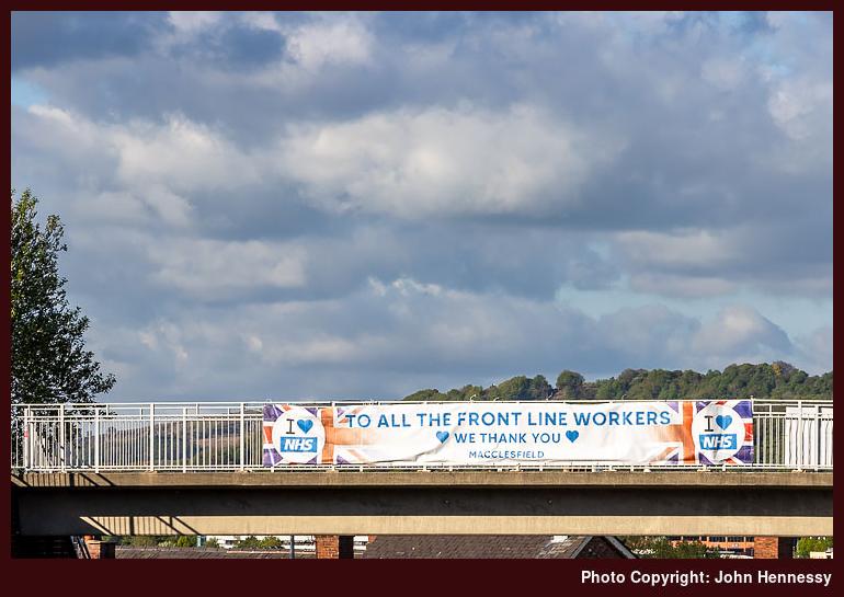
The restrictions that came in March 2020 disrupted my previous and customary coping mechanisms. Catching up with unread photography magazines further drove the point home. It just hurt too much to read about nice places where I could not go. That meant that do the same with travel magazines was out of the question, and they faced an existential crisis too. Outdoor magazines did not escape either. Most survived in time, with Lonely Planet Traveller being the only title that I know to have been discontinued.
It all added up to a sense of sensory deprivation, and broadcasting service were similarly thinned out. It was if there was little escape from morbidity and mortality. The latter really played on my mind, making some clinical encounters unavoidable at exactly the time when they needed to be curtailed.
Mercifully or perversely, depending on your point of view, we got a lot of sunny weather throughout the episode. If it did nothing but rain, I am not sure how we would have coped. That single episode of exercise per day was not just about physical health and well-being. It was nearly more important for keeping one's mental health on an even keel through a period when there was so much around that was downbeat.
To add to it, I also cut out caffeine from my diet and my use of sugar has more or less gone the same way since then. Even if that added weariness, I continued to get outside. The confinement meant that social distancing was more difficult than might have been expected. My yearning for added solitude went largely unsated, too.
Coping
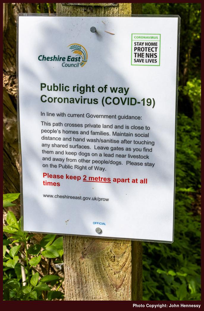
While Ireland placed limits on how far you could travel, I cannot remember that being the case in England, and it proved to be something of a lifesaver. Since public rights of way remained open, we were not confined to roads either, even if traffic plummeted so much that you could walk them in the name of social distancing.
We were not confined to urban parks like West Park, Victoria Park or South Park, all in Macclesfield. Others like Riverside Park or Tegg's Nose Country Park remained available. The latter offered an escape from urban surroundings that got used one sunny Saturday in April as part of an emergence from a personal nadir.
Cycling was another useful release. The quieter roads allowed for added courage once I began with routes that took in Henbury or Gawsworth. The Victory in Europe Bank Holiday at the start of May saw me get as far as Siddington and Marton, where there were few people to encounter. The same could be said for an outing the following day that took me around by Nether Alderley and Jodrell Bank, though the final approach to Macclesfield was more peopled and hence less comfortable for me. Around the same time, there were walks that included Riverside Park and Tegg's Nose. Thus, it was not all about cycling.
Making Space
Breaks from work were much needed and really beneficial. At least, I could keep working through the whole thing, unlike so many others. Even so, extra non-working days at the start of May had their uses, even if I muddled my bank holiday timings. Boris Johnson's apparent preference for Bank Holiday Fridays was so new to me that I needed to make my client aware of changes in plan.
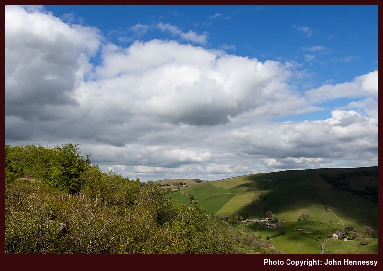
Still, the first of May saw an afternoon stroll that took in the Danes Moss Nature Reserve under grey skies and with some light rain at times. A late afternoon visit to Tegg's Nose Country Park on Saturday found the place largely deserted, offering a great deal of respite from any tension that had built up in the preceding weeks. On Sunday, I went on a circuit that included Prestbury, again with the same escape from an artificial concentration of humanity.
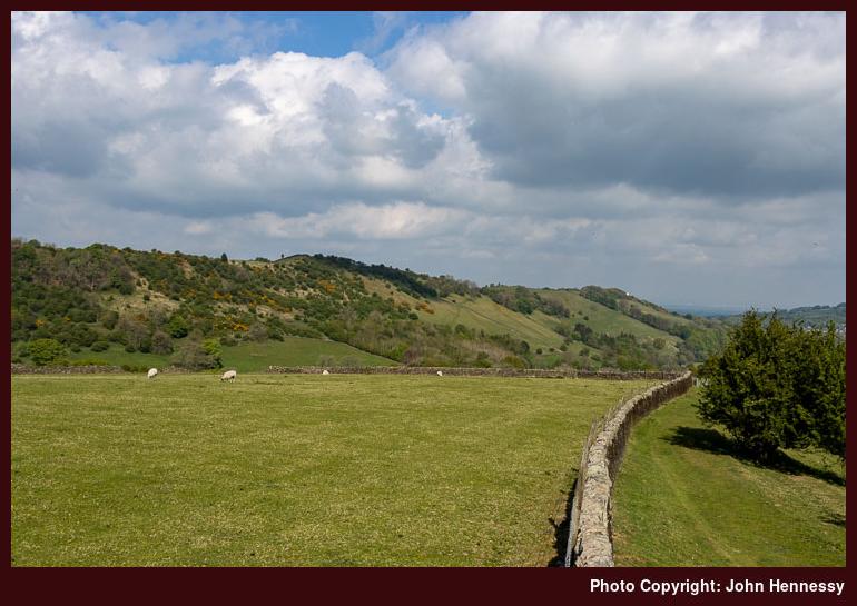
When I noticed that Royal Mail were working on that Monday, I was surprised, but the change of date for the Early May Bank Holiday never twigged until I spoke with my brother the next day. Nonetheless, I strolled around by Rainow and followed the Gritstone Trail towards Tegg's Nose and returned home via Langley. Tuesday allowed time for a circuit of Kerridge Hill and the adjoining Saddle of Kerridge that skirted Bollington and Rainow along its lower flanks. Looking back on things now, it was an extended weekend that became very full.
As we continued through May, there was a slight sense that pressures were easing. Experience with the new infection was increasing, and the grim toll was not as high as it might have been. Restrictions still remained, though; it would take until June before any real slackening could be felt. There still was an infection curve to be flattened.
Release
Thankfully, the Spring Bank Holiday was in the part of the week when I expected it to be. After what happened earlier in the month, this had been checked. The associated weekend was stretched with some extra days to allow further recuperation from the ongoing travails. In some ways, these were to be liminal.
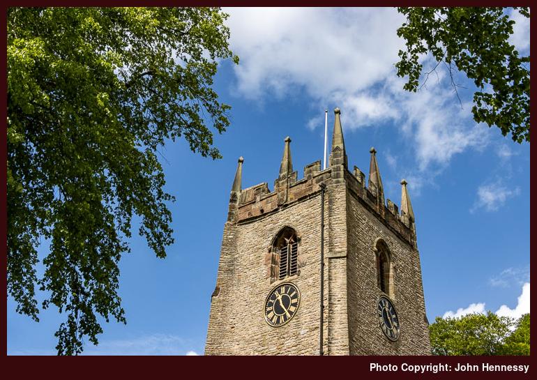
On that Friday, I again went for a longer stroll. This followed the Middlewood Way until I was past Bollington. Many others were out along that trail, so it was not the most relaxing of walks. That was one reason why I sought other routes with fewer people around. Not having to worry about social distancing meant that more reinvigoration could come my way. On this hike, that came about by continuing to Pott Shrigley. Fancying a spot of photography, I spent a while in the churchyard, which granted me the people-free space that I so needed. Thus sated, I skirted Bollington on the way to Rainow. That meant meeting with more people again, though not as many as on the Middlewood Way. Even so, I still needed the quieter route to Tegg's Nose that I constructed. On reaching there, I began the final stretch of my journey home.
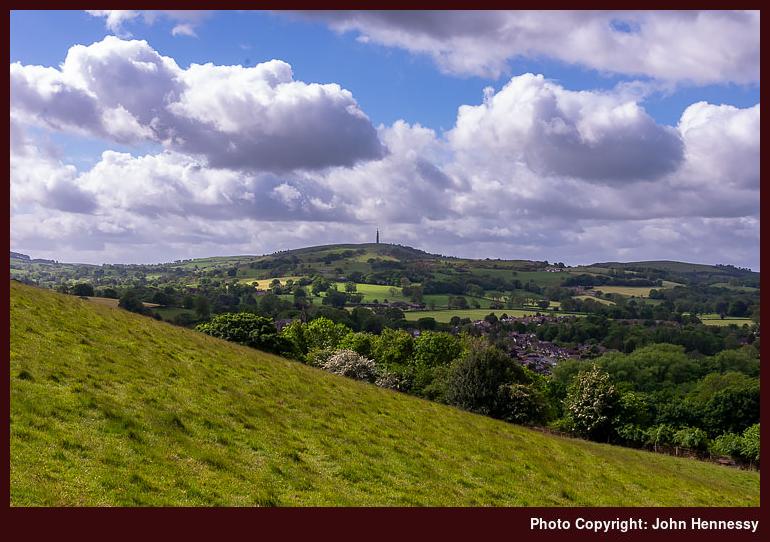
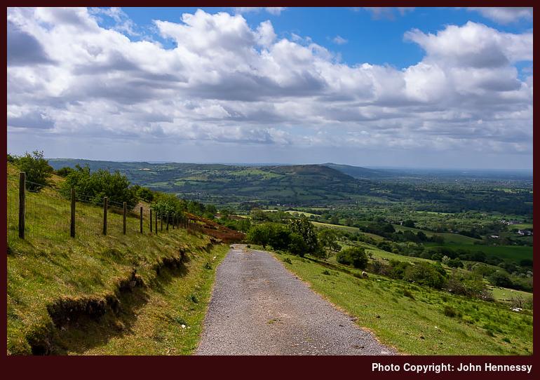
If I needed it, the next day's hiking supplied more than enough occasions where I could ramble with simple abandon. The mixed weather with some spots of rain in the afternoon did nothing to take from this. My route had me skirting Tegg's Nose on the way to Langley before crossing fields and gaining height on the way to Ridge Hill. It was while I was going along this lane towards Higher Sutton that a final sense of complete release hit me. All was well at that moment and there was nothing to fear. The feeling is one that I recall readily today as I write these words.
Eventually, the name changed to Meg Lane and I opted not to continue to meet with the Gritstone Trail. Instead, I chose a public footpath that would drop me to Lowerhouse where I did just that. From there, I ascended Fox Bank to go further than another ill-fated attempted ascent of Croker Hill had stalled due to my feeling unwell in the summer heat. This time, I had to contend with a blustery day that easily dispelled any disquiet regarding infectious disease. Others may have been around, but they were few in number, and we were well spaced as well.
The descent into more sheltered spots was to take me along a quiet public footpath to the A54. Route finding took a little concentration, and it felt as if I was proceeding along a holloway (or sunken lane) at times. The variety provides yet more of an escape for the psyche. Crossing the A54 to pick up a path by Bosley Reservoir did nothing to take from this. It helped that it was not busy around there, either. This struck me as a pleasant place to be, and that was to draw me back later.
Before all that, I needed to continue home. Thus, I followed a right of way to the A523. Going north took me to Bosley. This was partly to see its church, not that it is the most prepossessing of buildings with its red brick construction. Another public footpath conveyed from the church to Tunstall Road, where I met with the Dane Valley Way.
It was by now well into the afternoon and I had some quiet space, the like of which I did not have since the arrival of the pandemic. Still, I left it for the towpath of the Macclesfield Canal because I did not fancy passing through what was marked on the map as a stud farm. In fact, this is more like a business park and going through there might have saved me some road walking along another part of the A54, never a nice road to walk.
My next destination was North Rode. Another part of the Dane Valley Way got me off the A54 to reach a public footpath taking me the rest of the way. Again, quietude was my lot and there was some time spent next to its pretty church before continuing from there to Gawsworth.
This was to be where things got a bit busier again. First, getting to Rodegreen took me off-road once more. Going right along Pexall Road not only took me to Shellow Lane, but also towards the public footpath leading to Gawsworth and its church. This was to be a more confined affair in spatial terms, a trickier situation when you need to pass people with pandemic wariness around. Later, I would pass fish-ponds attended by numerous people fishing. It looked a little too busy to me, so I passed on as best as I could.
This was a time when local public footpaths were never busier; you could find lines trodden in fields where you never would have had them before. They have faded since then, too. Thus, the path conveying me from between Gawsworth Old Hall and Gawsworth New Hall did little to deter others from using it. Having got so much from the day, that did little to perturb me; you have to share anyway.
Once on Woodhouse Lane, I continued in the direction of the Danes Moss Nature Reserve. Without photos because of the greyness of the skies, I am left with a quandary in this account: how did I get home from there? One thing is sure, it did nothing to take from the restorative nature of the stroll. For that reason, I wonder if I continued on paths to Congleton Road before following that into Macclesfield. Making for the Macclesfield Canal instead would mean going a busier way and one with people confined to narrow boats there too; it is not the best for them to have too many around during a pandemic either. Thus, I am siding with the first option.
That night, I felt very different. The relaxation in places with few if any people had done the trick. All the tension was gone, and I felt more normal than I had done for a while. The fact that I really could relax in such places again was a real help for my subsequent state of mind.
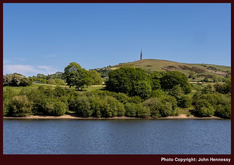
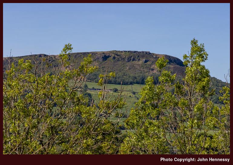
After the previous day, the Sunday that followed needed to be an easier day. It came hotter, too, which added impetus for just that. Some outdoor reading in South Park and Victoria Park became the main highlight, a good development for adding more normality. The Bank Holiday Monday came sunny and allowed a cycle that took in Bosley village and Bosley Reservoir before rounding The Cloud, a prominent local hill. That meant a descent along Peover Lane and nervous travel along the A54 before leaving that to reach North Rode, where a much-needed break was taken near its church in the sunshine. From there, I continued to Gawsworth, where I again stopped a while ahead of the last stretch to Macclesfield and home.
Looking through my photos from that Monday, I am surprised that none were made while I was on Tunstall Lane, given the views that were available. However, I set that to rights the following Saturday. The previous weekend must have worked up quite a bit of magic because I boldly ventured into Staffordshire, a first since the pandemic had arrived. Having crossed Hug Bridge nearby, I easily could see myself visiting Rushton Spencer before heading along the lane by Rushton Bank and Woodhouse Green. The steep ascent forced me to walk the bike in places but granted me the views over Bosley Reservoir to Croker Hill that I desired. Careful progress was made along Cloud Side because I am not so good with hills while cycling; descents particularly challenge me, possibly because of cycling bike with bad brakes while much younger. Once as far as Peover Lane, it was largely a reprise of Monday's route back home. Courage and fortitude had been found, something that would propel me through the following June.
From slim pickings to superabundance
14th May 2024 The lack of sunshine during my March 2019 trip to Settle and Malham brought forward a repeat encounter in advance of an Easter trip to Edinburgh in the same year. Compared to the previous trip, when there was photographic famine, this one brought an overwhelming number of possibilities. A little sustained sunshine can make choices of what to show and what not to show more difficult, especially when not every landscape feature has a name. It is time to leave a narrative to do the discriminating.
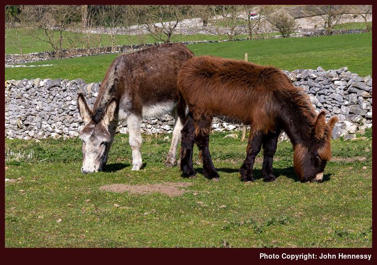
As well as the sighting of the donkeys that you see above, the way out of Settle offered views of a passing steam train as well as the chapel of the independent Giggleswick School, a far grander structure than you would expect to see situated in the middle of the pastoral countryside. There was more to occupy one's eyes than more distant views of Pen-y-Ghent.
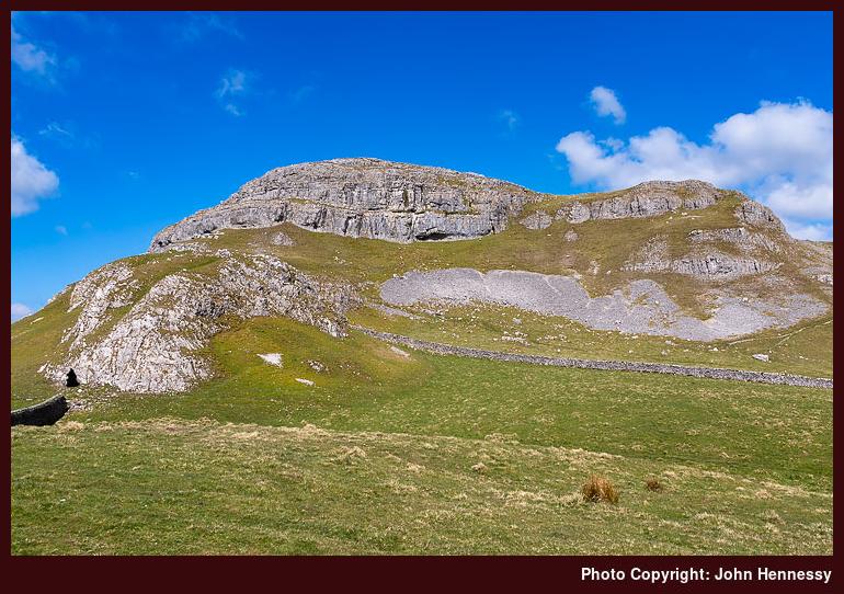
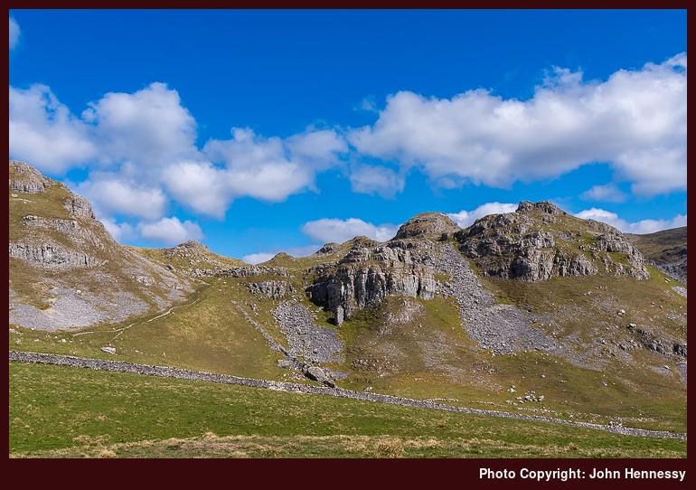
The main drama of the day began once I left the route of the Pennine Bridleway for that of the Dales High Way. In the morning sunshine, the limestone outcrops festooning the Warrendale Knots and adjoining Attermire Scar did nothing to disappoint me. Clouds stayed away from the passage of the sun for long enough to keep me entertained all the way as far as Stockdale Lane.
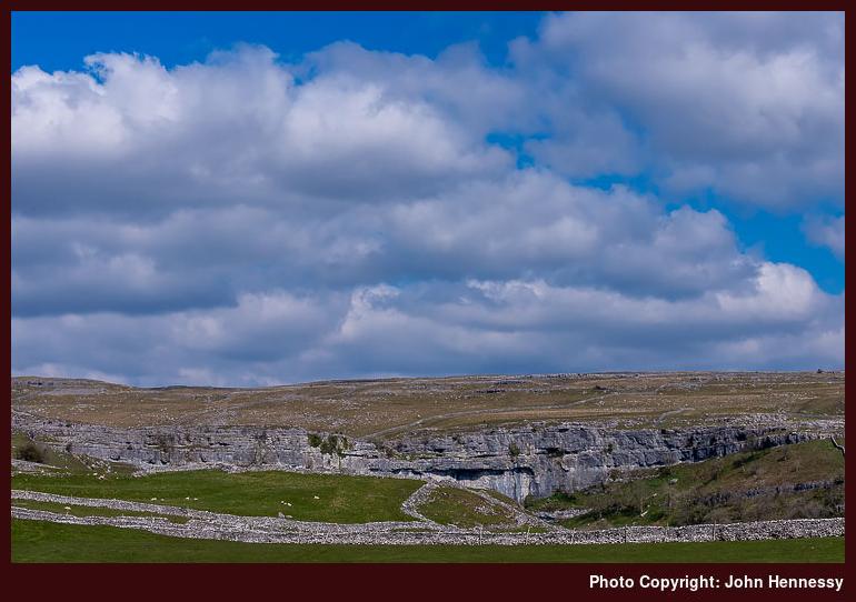
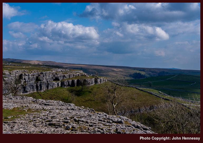
Continuing past Stockdale Farm also led me past Rye Loaf Hill and Kirkby Fell on a somewhat expedited route to Cove Road, near Malham. Views of Malham Cove did tease as I went forth, yet clouding skies stopped me from everything my own way for photographic exploits. Nevertheless, opportunities did present themselves as I followed the route of the Pennine Way onto the limestone pavement above the one time ancient waterfall.
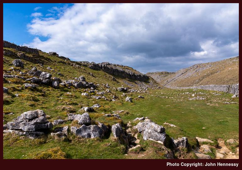
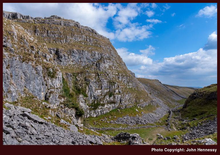
From there, it was a matter of continuing north to Malham Tarn. Sunshine was again liberated to light up a part of the world that I largely experienced under cloudy skies on previous visits. Names like Raven Scar, Ing Scar and Ing Scar Crag hint at what you find in this classy limestone landscape.
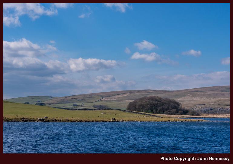
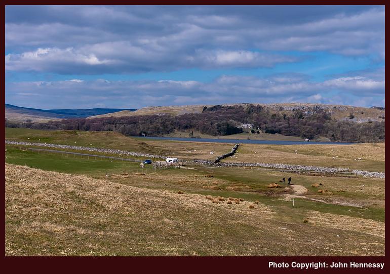
Following an ascent, the terrain levelled out on the final approach to Malham Tarn. The size of the lake makes photography a little tricky, but the availability of sunshine almost enforced such activity. That also meant that there was some dawdling before embarking on an alternative route to Langscar Gate. Any gain in height was rewarded by views over the tarn and what lay around it.
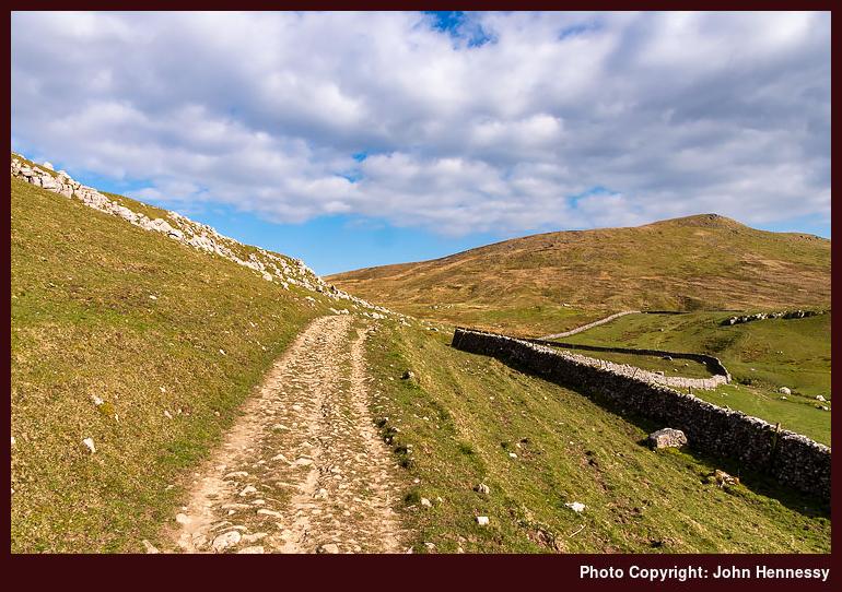
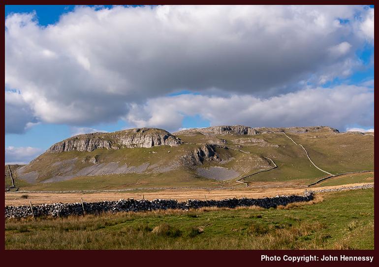
After passing Langscar, I took a south-westerly turn in the direction of Kirkby Fell. After passing Grizedales, I returned to my outbound route for a time. The return to Settle was to keep me on Stockdale Lane until it reached High Hill Lane, which I then followed the rest of the way to my starting point. Not only did that offer different viewpoints (which was just as well given the shadows that had fallen on what was fully lit in the morning), but it also made the descent easier than the more usual way that I had been using. On tiring legs, that is easier as long as tarmac traipsing is kept to a minimum.
A good day hike ended with my being well sated by what I encountered. At the time of writing, though, my appetite for such countryside has been dimmed by excursions to Scotland and other possibilities. If it ever gets rekindled, the prospect of walking from Malham to Skipton could be tempting. A desire to replace photos from my film-using days may be just the thing for that.
Travel Arrangements
Return train journey between Macclesfield and Settle, with changes at Manchester Piccadilly and Leeds.


