Category: Ireland
A longer winter break
 6th January 2010
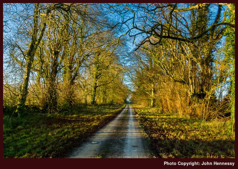
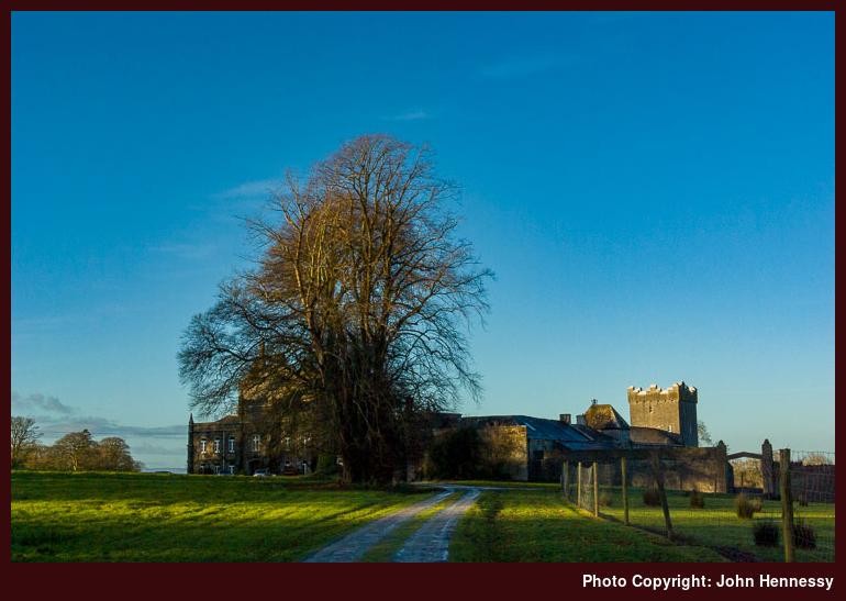
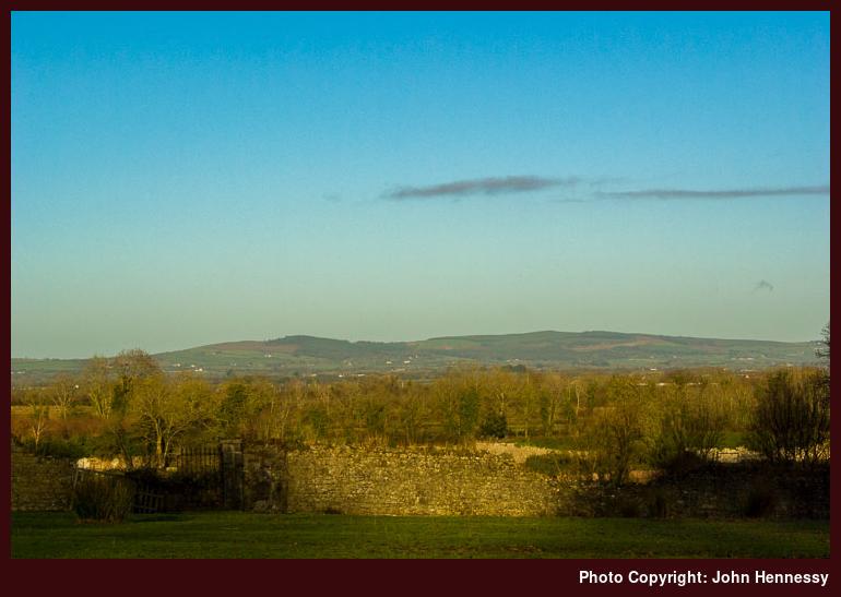
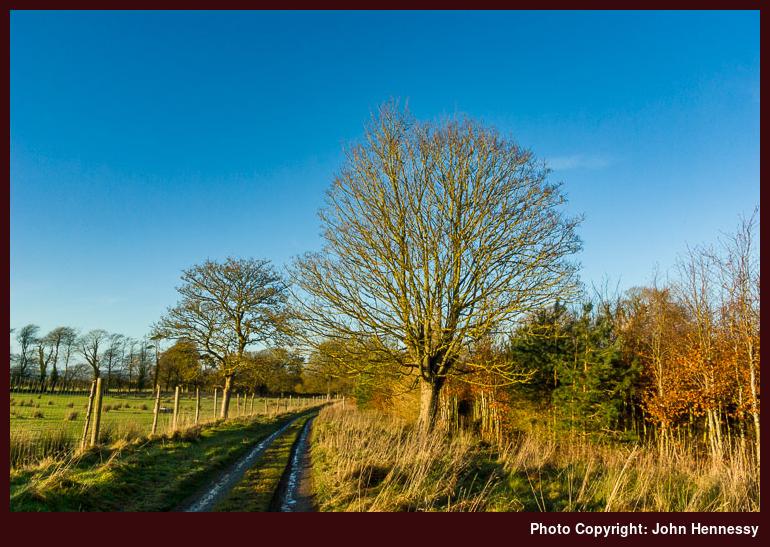
 We have had the cold winter mixture of snow and ice for so long now that it almost is no longer newsworthy. It was there before I set off on a winter airborne crossing of the Irish Sea and remained to welcome me back on my return. That's not to say that it isn't causing disruption, with travel being a casualty from time to time. It also explains why I was out on Christmas Day and the day after (Boxing Day to some, St. Stephen's Day to others) breaking ice to clear tracks so that those with older bones than mine didn't go breaking them. There was a useful thaw thereafter that allowed things to dry up before the next round of frosts and I took my chance on an afternoon stroll around by Springfield Castle in the winter sun. Traffic, thankfully, was light on the roads that conveyed me much of the way and most of the ice had gone. In fact, I found more of that on the back avenue of Springfield Castle than anywhere else, including the front avenue. The latter allowed me to escape from a sizeable bunch who were engaged in pucking sliotars (hitting hurling balls with hurling sticks to the uninitiated) along the road from Broadford to Dromcollogher. Apart from that collective, places were otherwise quiet with only the occasional soul encountered along the way. It was a useful escape from worrying about the effects of slips on those who really could do without a knock.
The only other trot of note was an afternoon jaunt around by Kilmeedy on an increasingly foggy New Year's Day. Though I gained some height, the lack of visibility meant that wide-ranging views were out of the question so I contented myself with decent progress along largely ice-free and dry roads with little or no traffic on them. It was, but an unremarkable few hours out in the cold air apart from the sight of a pair of swans in the River Deel near Belville. Even so, it was a good way to let the mind loose to lose any stresses and strains that had been collecting.
Apart from those bursts of road walking, the countryside journeying was largely virtual with some books capturing my attention. The first of these was found around my parents' house and caught my eye. Tales of canal boating do not normally attract my interest, but Gerald Potterton's In the Wake of Giants kept me occupied for a few hours with its mix of modern-day anecdotes and historical interjections. Ostensibly, it is a tale of someone fulfilling an interest in journeying along the Grand Canal and the River Barrow with its numerous canal cuttings for the avoidance of weirs. Naturally, this took me around by locales that wouldn't have crept too high up my list of places to visit and told me a little about them too, adding to my knowledge of the "Old Country". The tale may have stuttered to life like a marinised old Ford diesel engine that is used as a power unit for a canal boat, but the narrative soon got going in its own inimitable manner and went to show that there can be more to tillage farmers than meets the eye.
The second occupier of any free moments was a volume that I picked up a while back and lay on my reading list before I got around to it. Joseph Murphy's At the Edge does fit in rather better on a blog full of walking trip reports than a tome on canal boating and it has its own soul too. The backbone of the thing is a walk along the coasts of Ireland and Scotland from Kerry to Lewis made by someone who feels that he has lost a little something of his Irish heritage. Along the way, he gets to pondering Gaelic culture and the differences between Ireland become apparent with the emptiness of Scotland contrasting with an Ireland peopled with obliging folk; interlopers who fail to engage with their Scottish surroundings stick out like sore thumbs later on in the narrative. While I may have developed a beady eye with all my online scribblings, there were times when perceived typographical errors intruded on any sense of reverie (I know that I'm only human, so please let me know privately about any failings of my own making). Clearly, a spot of improvement on the proofreading side is needed on the part of the publishers and the author. Even with intrusions, the explorations of exile and connectedness drew me in as the journey continued; I suppose that my being an Irishman living and working in England had something to do with this, though my affinity for the places visited along the way may have helped too.
Just as there are Irishmen in England, there are Englishmen in Ireland and Tim Robinson has been one of the latter since 1972. On the return trip to Cheshire, I felt the need for a book and his Stones of Aran: Pilgrimage became my accompaniment as I left the branch of Easons on Dublin's O' Connell Street. It's an intense piece of writing that needs to be savoured away from the vacant prattling of drunken folk on trains. Quite how he can make so much of coastal explorations with only the occasional diversion inland is surprising. Until a few years ago, it was out of print but Faber & Faber brought out a new edition with a forward by Robert Macfarlane. There is a companion volume called Stones of Aran: Labyrinth that also was out of print until the New York Review of Books addressed that situation last year. More recently, he wrote a counterpart pair on Connemara with titles such as Connemara: Listening to the Wind and Connemara: The Last Pool of Darkness, both published by Penguin Ireland. The latter of these is in my possession and remains unfinished but it very typically was on the wrong side of the Irish Sea when it would have been continued. Of course, that's a human failing with my not thinking that I'd not be reading that much while ensconced in West Limerick. It's also an unusual one for me, but carriage of paper items is sure to add weight that can prove expensive if indiscipline is allowed to reign. In that light, the extra purchase can be seen as a comparative bargain.
With all this reading about a country to which I haven't done justice in walking terms, you might think that 2010 is set to be a year when Ireland might see more of me. That, however, is not mine to see. The start of any year usually is like beginning with a blank slate, but 2010 seems more wide open than other years. While grand designs are not my style, I am more inclined to avoid them this year than I otherwise might do. It will be a case of meeting the future one day at a time and seeing where things take me from here.
A promise made good
18th December 2009 In recent days, Mapyx has brought out OSNI 1:50000 Discoverer mapping data for Quo, with 1:25000 due to follow. Having found some spare time, I got a quick chance to metaphorically kick some tyres. As with OSi maps, you cannot have OS maps and OSNI maps open at once, but there is no bar to shuttling over and back across the Irish border in the digital world. Tiles for either provider are £1.99 each, with the entire OSNI set going for a not unreasonable £39.99.
However, there are no grid lines on the NI maps that I have in my sample. That surprised me and makes rough and ready estimations of distance a non-starter; you need to use Quo's route planning tools to get a handle on distances and to determine grid references. However, you'll be glad to know that the OSNI's paper maps do not have the same feature as my copy of Sheet 29 (covering the Mourne Mountains and published in 2008) is well crossed with those ever useful lines and feeling very like an equivalent OSi specimen, albeit with townlands superimposed on the back of the sheet. The digital counterpart to the same looks bleached in comparison, but it may have been decided that all those greens and browns obscured the contour lines anyway. In contrast, the OSi have gone for faithful reproduction instead, yet there's merit in both approaches.
Because Quo's overview map for Britain and Ireland is only available with the OS coordinates system, you could find OSi and OSNI tiles lying on a white background. Adding the OSi's 1:600000 overview map of the island of Ireland to your collection for £4.99 does help to bring together an incomplete tile collection and get around it. What is also available for £4.99 is a copy of the OSNI gazetteer that allows to search for places on NI, like you'd do for mainland Britain with the OS Landranger gazetteer database.
All this perusal of Northern Ireland maps sits uneasily with the lack of attention that I have given the province. The Mourne Mountains certainly look promising and there are the Glens of Antrim too along with the Sperrin Mountains; lack of choice clearly isn't a problem then. Now, when might there be a visit?
OSi Maps now on Quo
26th November 2009 Last week, Mapyx finally made good their promise to bring out Ordnance Survey Ireland 1:50000 Discovery mapping data for Quo. Pricing is £1.99 per tile, more comparable with £1.95 per tile for OS Explorer maps than 99p per tile for OS Landranger.
Even with the (little) extra outlay, that's not so bad, and I purchased tiles for the area covering the Dublin and Wicklow Mountains for less than £20, hardly a king's ransom. OSNI maps are also promised, but we'll just have to be patient and see when they come on the scene. When they do, that part of the world will be opened up for electronic surveying. It has its share of delights too; the Mourne Mountains are just one to mention.
So far, my examination of those purchased OSi maps has been a brief one, with route planning and other such operations left for later. Reassuringly, downloading and installation of the actual tiles was the same as for any other Quo map, and the displayed tiles were as clear (and as recognisable to the likes of me) as those you'd find on Trail Master DVD's or in Geolives.
However, Quo needs to shut down any OS maps that you have open in order to open up their OSi equivalents because of differences in coordinate systems. That can be a little inconvenient if you start to wander between the British mainland and Éire quite a lot. Most likely will not do such a thing that often.
That's the only difference that I have seen up to now, and I'd be surprised if I were to notice anything of note while in the process of planning a route. If I do, my observations may find their way on here in due course. After all, my one sortie to Wicklow's does deserve to followed by another, and there is plenty more of Ireland to sample after that. It is an ever glaring omission on my part.
A continuing internationalisation
31st October 2009 While penning yesterday's missive regarding the forthcoming availability of OSi mapping data from Mapyx, I had little idea of what was in the pipeline from Anquet. Until now, Anquet's established offering in the digital mapping arena was restricted to areas on Great Britain. Unless I missed something, not even Northern Ireland got a look in, while Scotland's islands and even the Isle of Man were very well covered. However, an email from them this morning suggests that will be changing.
Apparently, Anquet is also planning to make OSi 1:50000 digital mapping available as part of a move to include more countries in its portfolio. Quite what is driving this expansion is open to question, but it is an exciting development, whether they are moving into new territorial markets or they are banking on British outdoors lovers fancying a spot of overseas explorations who would like the planning of such escapades to be easier. Whatever the reasoning, they seem to be starting with Éire so let's hope that Northern Ireland isn't forgotten in the rush.
Seeing two mainstays of the British digital mapping market featuring Irish data has to make you wonder what other players like Memory Map or Tracklogs have in hand. After all, if this is due to a push on the part of the OSi, there may be more to come.
Thinking about it now, having Mapyx and Anquet selling OSi 1:50000 Discovery data does follow on from its availability on Geolives since the start of the year. That development may have signalled a break from digital mapping being provided on a country by country basis, and that's no bad thing at all. In fact, things have got a bit more exciting now that it has happened, an unthinkable occurrence in times when paper maps were all that we had.
Mapyx Quo becomes more international
30th October 2009 There was a time when the only way of acquiring digital mapping for Éire was to purchase a Trail Master DVD from the OSi. Earlier this year, that changed with its inclusion in Geolives along with France, Switzerland, Belgium and Holland but it seems that things recently moved on from there again. An email from Mapyx yesterday announced the forthcoming addition of Irish 1:50000 Discovery series data to the current Quo portfolio of U.K. and Slovenian mapping. For me, it would be a very good thing to have British and Irish mapping in the same place and accessible using the same software so it has to be a step forward. After all, it makes Irish mapping data available to British walkers along with its British counterpart so there should be less of an excuse for not planning an excursion over there and I would be very surprised if the Irish tourism industry didn't appreciate the custom.
Saying all of that, Geolives still has one advantage over Mapyx: having a web based platform for carrying out the same tasks that would be done using desktop software means that it isn't tied to Windows like Mapyx and its ilk. This is its Web Editor and it has to be a boon for Mac and Linux users but there's the PC Editor too for those wanting to work offline on a Windows machine. As if all that weren't enough, the former has its place on smartphones (iPhone, anyone?) too.
If I didn't have some mapping information from Geolives already, I'd be waiting patiently for Mapyx to do the promised deed. However, having Geolives data not only means that I am in no hurry but also that, while I'd be seeing how things work in reality, I have no attention of re-purchasing data that I already have in my possession. One part of the world that seems to be missing from all of this is Northern Ireland and, with walking areas like the Mourne Mountains, that has to be an omission that needs addressing but nothing appears to be happening right now.


