River Dane, Wildboarclough, Cheshire, England
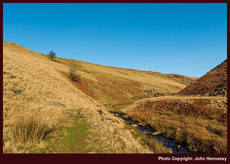
This is just a little further along the River Dane from the view of Three Shire Heads Bridge elsewhere in the Peak District album. It has been said that the rise in the level of the Dane following a cloudburst is one of the fastest in England. Whatever the truth of that claim, it certainly has not half flooded Congleton at times. The source of the river is on Axe Edge and, on a walk from the Cat and Fiddle Inn to Buxton of a crisp frosty day in January 2012, I crossed the boggy where it rises and was glad of how the ground had remained frozen after a cold winter’s night.
As well as Congleton, the river also flows by Holmes Chapel before joining the River Wheelock at Middlewich. Along its length, it is shadowed by the Dane Valley Way and part of the line of that trail can be seen in green to the left of the young River Dane in the above photo. It starts in Buxton and continues all the way to Middlewich though there apparently is a lot of road walking in its later stages. The section between Buxton and Congleton is the one that I have covered more often since it features some alluring hill country. It also sounds as if that might be the best of the trail too, so I have done well out of it already.
See more photos from this album (Peak District)