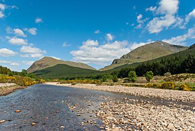
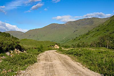
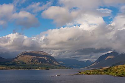
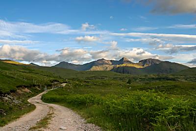
North Argyll, Scotland
My explorations of Argyll actually got going with a day trip to Mull in June 1999. More visits to Mull (and one to Iona) were to follow before I got to looking around the mainland. That started with a short amble by the shores of Loch Etive and has expanded to include Glen Lonan and other parts of Lorn with areas further south like those around Arrochar, Loch Long and Loch Lomond coming far more recently than is deserved. More unvisited parts beckon and both Cowal and Kintyre are on that list. Even if there were no parts completely unexplored, it takes a while to get under the skin of anywhere if that is even possible to complete. The result is more excursions and looking at the photos that you find here plants some ideas in my mind.
Even with all the boundary changes over the years, present day Argyll still covers a large part of Scotland. In former times, it reached as far as Glen Coe and took in Ardnamurchan and other parts of that same peninsula. Along with southern reaches such as Cowal and Kintyre, even Arran was considered part of the region. Some may hold out when it comes to those older boundaries, but I have to admit that not much is heard of them nowadays. People just seem to go with what's there and worry no more. Regardless of what is and isn't in Argyll these days, it remains an enticing part of the world to visit though you may disagree if you have the misfortune to see it in heavy downpours.
