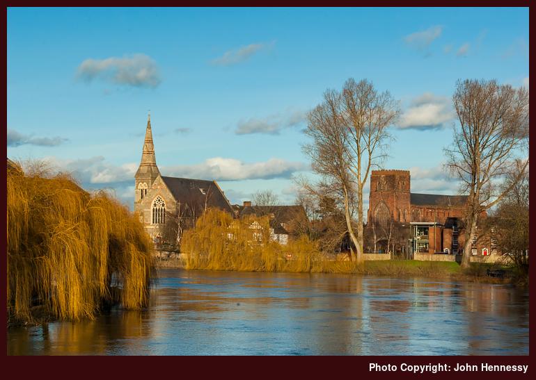
United Reformed Church & Shrewsbury Abbey from River Severn, Shrewsbury, Shropshire, England

The amount of rain that fell in 2012 was such that the level of the River Severn remained high even for this February 2013 visit. A riverside cycle path remained closed due to flooding and the parts of it that were open betrayed signs of flooding with the mud that remained on them. There is something of the appearance of the river in this photo that suggests a risk of flooding to me and to think it was like this some time after a month away from heavy rain says a lot about the amount of water that fell.
Though dwarfed by the latter United Reformed Church, the history of the stout redbrick one to the right is the more interesting. Even today, it is known as Shrewsbury Abbey and is much reduced from what it once was. In fact, there is a pulpit from the abbey situated in a car park across the A5 that tells of the scale. The rough signs of the continuation of walls remains on the side of the main remaining structure, evidence of times when looking after heritage buildings wasn't like it is today. In fact, construction of the main road to Wales caused the demolition of the by then decayed cloisters with the protruding bricks being the sign of intentions to partially remedy what now would appear barbaric to modern eyes. It is said that Thomas Telford, the renowned Scottish civil engineer after whom the town of Telford is called, wouldn't have allowed what happened but for his own death and the A5 thoroughfare between England and Wales mainly was a design of his making.
See more photos from this album (Shropshire)