Neverdalsfjell, Vatne,
Rogaland, Norway
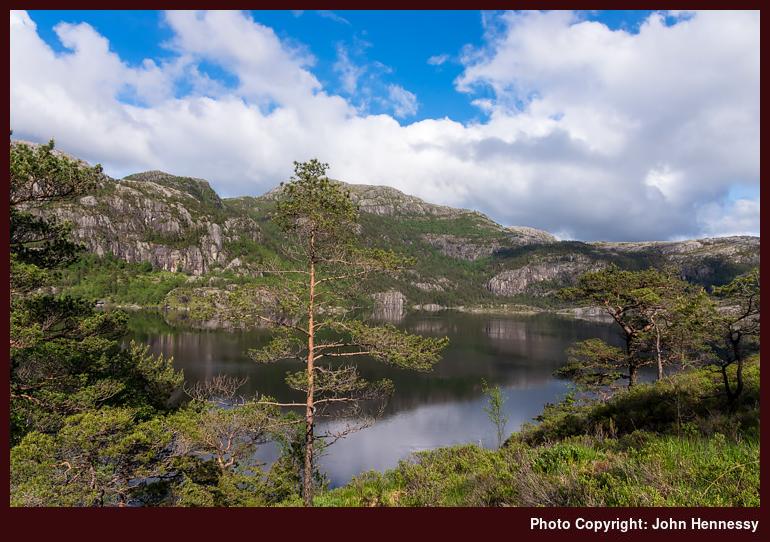
It took a while for me to work what lay behind Revsvatnet and even the Norwegian mapping agency did not show the name on their maps. In fact, it was ViewRanger's own free topographic offering that identified the rocky hill that lies behind Preikestolen. Their map has proved to be more useful than might be expected since it shows more trails than many from national mapping authorities like those in Canada and Spain, a very useful thing. As I know from experience, comparing different maps can a must on overseas walking trips, so I will be keeping this in mind for any new excursions.
See more photos from this album (Norway)