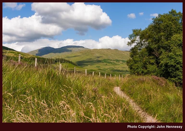
Beinn Challuim, Tyndrum,
Stirling District, Scotland

In Scotland's Highlands, it's often best to follow the lie of the land rather than attempting to battle it when it comes to motorised travel. The result is often contorted routes squeezed through the hills and the course of the A82 is as good an example as any with its having to follow the floors of glens and mountain passes. In principle, the West Highland Way should not have this restriction, but it does seem to shadow the A82 for a lot of the way and I suppose that having to make it somewhat accessible for those just setting out on their long distance trekking career may be just as well.
What brings the above thought to mind is the northern wall of Strath Fillan and its forcing east-west travel. Making up that barrier is Beinn Challuim with its twin tops with heights of around the 1000-metre mark. The spelling that I have already given is from an OS map, but I have seen Ben Challuim used in the SMC's Munros guide. I suppose that you take your pick when it comes of Calum's Hill.
See more photos from this album (West Highland Way)